| Поиск по каталогу |
|
(строгое соответствие)
|
- Профессиональная
- Научно-популярная
- Художественная
- Публицистика
- Детская
- Искусство
- Хобби, семья, дом
- Спорт
- Путеводители
- Блокноты, тетради, открытки
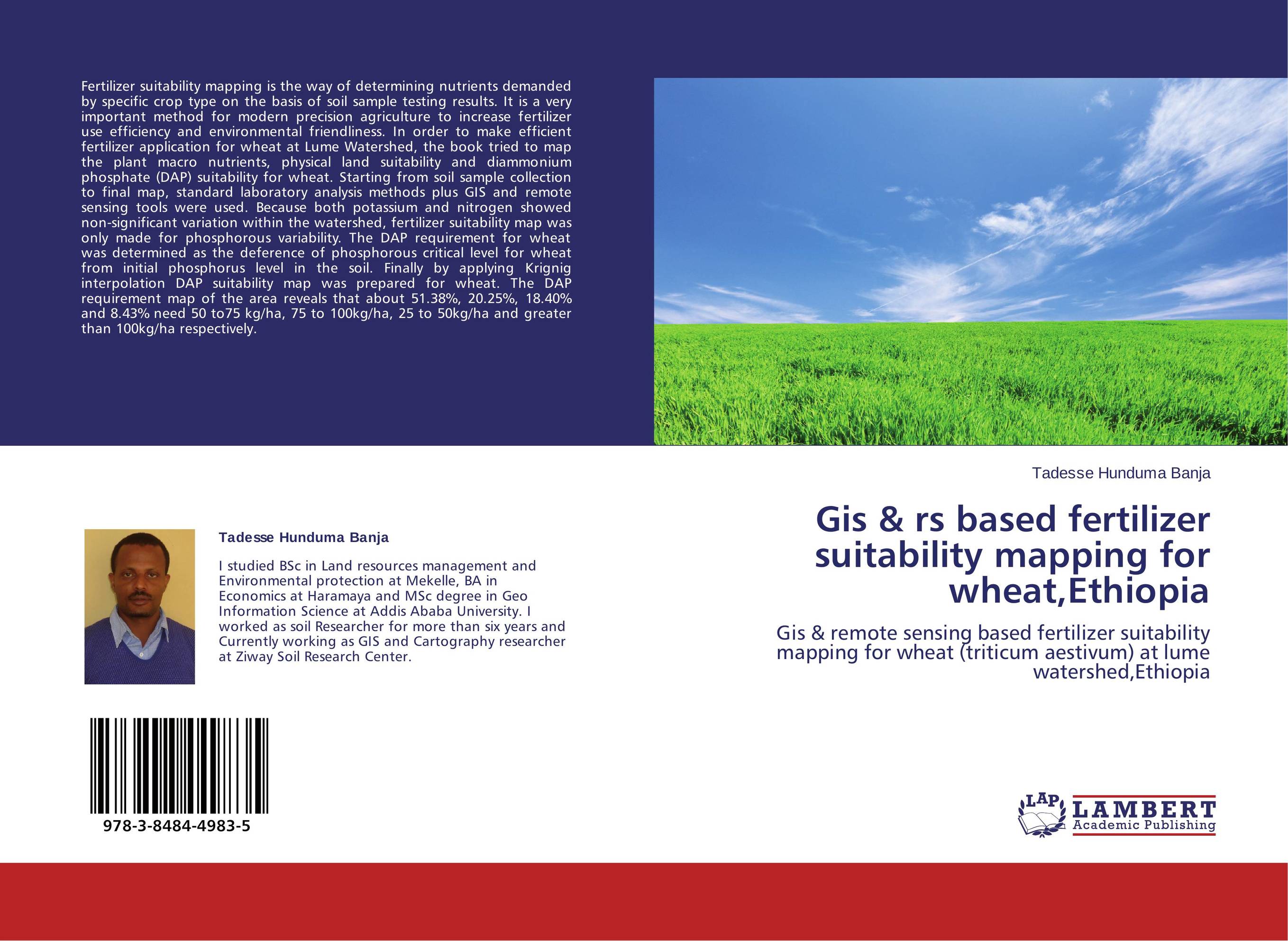
Gis & rs based fertilizer suitability mapping for wheat,Ethiopia. Gis & remote sensing based fertilizer suitability mapping for wheat (triticum aestivum) at lume watershed,Ethiopia

В наличии
| Местонахождение: Алматы | Состояние экземпляра: новый |

Бумажная
версия
версия
Автор: Tadesse Hunduma Banja
ISBN: 9783848449835
Год издания: 2014
Формат книги: 60×90/16 (145×215 мм)
Количество страниц: 80
Издательство: LAP LAMBERT Academic Publishing
Цена: 25692 тг
Положить в корзину
Позиции в рубрикаторе
Отрасли экономики:Код товара: 113032
| Способы доставки в город Алматы * комплектация (срок до отгрузки) не более 2 рабочих дней |
| Самовывоз из города Алматы (пункты самовывоза партнёра CDEK) |
| Курьерская доставка CDEK из города Москва |
| Доставка Почтой России из города Москва |
Аннотация: Fertilizer suitability mapping is the way of determining nutrients demanded by specific crop type on the basis of soil sample testing results. It is a very important method for modern precision agriculture to increase fertilizer use efficiency and environmental friendliness. In order to make efficient fertilizer application for wheat at Lume Watershed, the book tried to map the plant macro nutrients, physical land suitability and diammonium phosphate (DAP) suitability for wheat. Starting from soil sample collection to final map, standard laboratory analysis methods plus GIS and remote sensing tools were used. Because both potassium and nitrogen showed non-significant variation within the watershed, fertilizer suitability map was only made for phosphorous variability. The DAP requirement for wheat was determined as the deference of phosphorous critical level for wheat from initial phosphorus level in the soil. Finally by applying Krignig interpolation DAP suitability map was prepared for wheat. The DAP requirement map of the area reveals that about 51.38%, 20.25%, 18.40% and 8.43% need 50 to75 kg/ha, 75 to 100kg/ha, 25 to 50kg/ha and greater than 100kg/ha respectively.
Ключевые слова: GIS, watershed, Remote sensing, Wheat, fertilizer suitability, Diammoniumphosphate


