| Поиск по каталогу |
|
(строгое соответствие)
|
- Профессиональная
- Научно-популярная
- Художественная
- Публицистика
- Детская
- Искусство
- Хобби, семья, дом
- Спорт
- Путеводители
- Блокноты, тетради, открытки
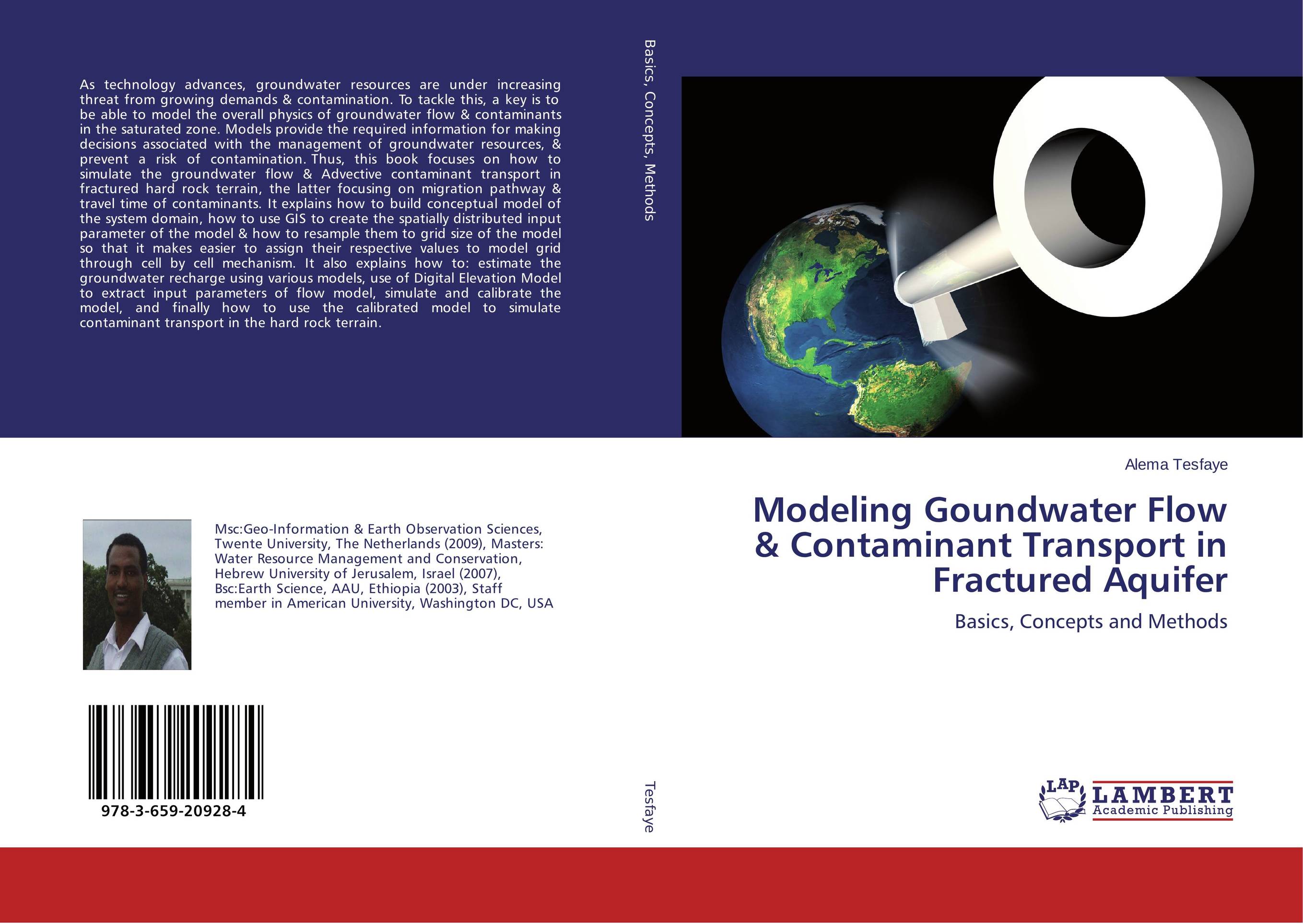
Modeling Goundwater Flow & Contaminant Transport in Fractured Aquifer. Basics, Concepts and Methods

В наличии
| Местонахождение: Алматы | Состояние экземпляра: новый |

Бумажная
версия
версия
Автор: Alema Tesfaye
ISBN: 9783659209284
Год издания: 2013
Формат книги: 60×90/16 (145×215 мм)
Количество страниц: 240
Издательство: LAP LAMBERT Academic Publishing
Цена: 52037 тг
Положить в корзину
| Способы доставки в город Алматы * комплектация (срок до отгрузки) не более 2 рабочих дней |
| Самовывоз из города Алматы (пункты самовывоза партнёра CDEK) |
| Курьерская доставка CDEK из города Москва |
| Доставка Почтой России из города Москва |
Аннотация: As technology advances, groundwater resources are under increasing threat from growing demands & contamination. To tackle this, a key is to be able to model the overall physics of groundwater flow & contaminants in the saturated zone. Models provide the required information for making decisions associated with the management of groundwater resources, & prevent a risk of contamination. Thus, this book focuses on how to simulate the groundwater flow & Advective contaminant transport in fractured hard rock terrain, the latter focusing on migration pathway & travel time of contaminants. It explains how to build conceptual model of the system domain, how to use GIS to create the spatially distributed input parameter of the model & how to resample them to grid size of the model so that it makes easier to assign their respective values to model grid through cell by cell mechanism. It also explains how to: estimate the groundwater recharge using various models, use of Digital Elevation Model to extract input parameters of flow model, simulate and calibrate the model, and finally how to use the calibrated model to simulate contaminant transport in the hard rock terrain.
Ключевые слова: Remote sensing, Hydrogeology, Contaminant transport modeling, steady state groundwater modeling, Recharge assessment, recharge modelling, Geographic Information Systems (GIS), 3D, Hydrochemistry, Recharge, Kriging, Aquifer geometry, How to correct DEM, Subsurface Geological Conceptualization, Base flow, Well log correlation, Geological log, ASTER DEM, Grid discritization, MOD FLOW, Eckhard Digital filter, PMPATH, Capture zone delineation, Model structure, Model input parameter for groundwater flow modeling, Model calibration, Travel time of groundwater, Travel path of water, Linear Average velocity, Transmissivity, Piper diagram, water type deduction, Pumping test analysis, Intitial hydraulic head, Groundwater balance, Potential contamination, Hydrographs, Specific capacity, Grid size of the model, Discritization of the model, Aquifer parameter mapping, Groundwater, Contaminant transport, groundwater modeling, Advective Transport, groundwater movement, advective transport modeling, Interpolation to determine model input parameter, GIS functionalities to determine model input parameters, geostatistics (kriging) to determine spatially distribued groundwater model input parameters, Hydraulic Conductivity determination as a model input parameter, water budget analysis of calibrated model, Boundary conditions of a model, of groundwater flow model, use of Digital elevation model (DEM) to extract groundwater flow input parameters, Chloride mass balance to estimate recharge in the catchment, Semi-distributed monthly Water Balance Model to estimate recharge


