| Поиск по каталогу |
|
(строгое соответствие)
|
- Профессиональная
- Научно-популярная
- Художественная
- Публицистика
- Детская
- Искусство
- Хобби, семья, дом
- Спорт
- Путеводители
- Блокноты, тетради, открытки
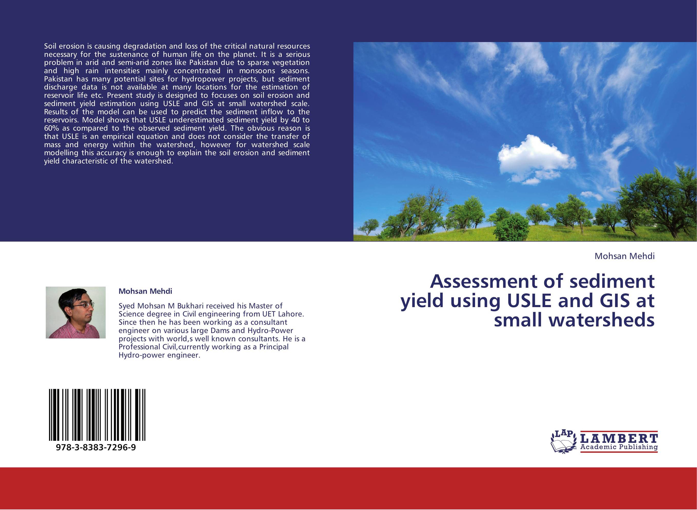
Assessment of sediment yield using USLE and GIS at small watersheds.

В наличии
| Местонахождение: Алматы | Состояние экземпляра: новый |

Бумажная
версия
версия
Автор: Mohsan Mehdi
ISBN: 9783838372969
Год издания: 2013
Формат книги: 60×90/16 (145×215 мм)
Количество страниц: 68
Издательство: LAP LAMBERT Academic Publishing
Цена: 30074 тг
Положить в корзину
| Способы доставки в город Алматы * комплектация (срок до отгрузки) не более 2 рабочих дней |
| Самовывоз из города Алматы (пункты самовывоза партнёра CDEK) |
| Курьерская доставка CDEK из города Москва |
| Доставка Почтой России из города Москва |
Аннотация: Soil erosion is causing degradation and loss of the critical natural resources necessary for the sustenance of human life on the planet. It is a serious problem in arid and semi-arid zones like Pakistan due to sparse vegetation and high rain intensities mainly concentrated in monsoons seasons. Pakistan has many potential sites for hydropower projects, but sediment discharge data is not available at many locations for the estimation of reservoir life etc. Present study is designed to focuses on soil erosion and sediment yield estimation using USLE and GIS at small watershed scale. Results of the model can be used to predict the sediment inflow to the reservoirs. Model shows that USLE underestimated sediment yield by 40 to 60% as compared to the observed sediment yield. The obvious reason is that USLE is an empirical equation and does not consider the transfer of mass and energy within the watershed, however for watershed scale modelling this accuracy is enough to explain the soil erosion and sediment yield characteristic of the watershed.
Ключевые слова: civil engineering


