| Поиск по каталогу |
|
(строгое соответствие)
|
- Профессиональная
- Научно-популярная
- Художественная
- Публицистика
- Детская
- Искусство
- Хобби, семья, дом
- Спорт
- Путеводители
- Блокноты, тетради, открытки
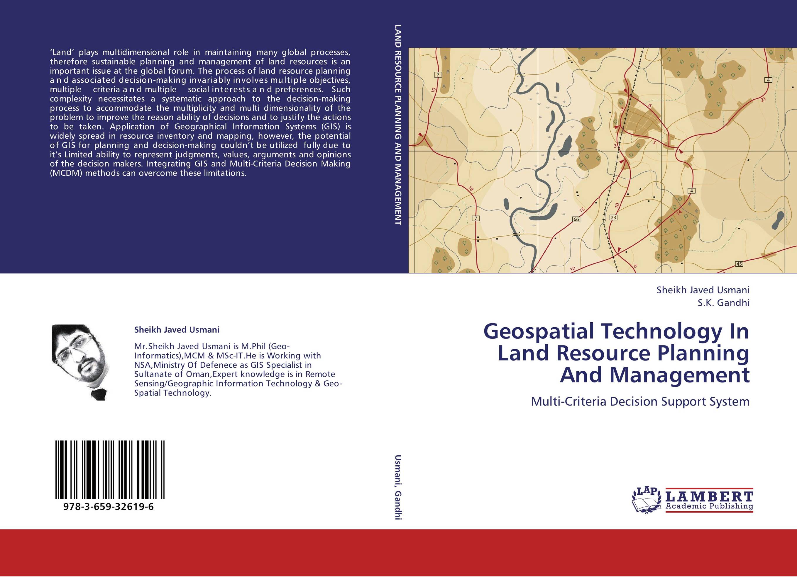
Geospatial Technology In Land Resource Planning And Management. Multi-Criteria Decision Support System

В наличии
| Местонахождение: Алматы | Состояние экземпляра: новый |

Бумажная
версия
версия
Автор: Sheikh Javed Usmani and S.K. Gandhi
ISBN: 9783659326196
Год издания: 2013
Формат книги: 60×90/16 (145×215 мм)
Количество страниц: 128
Издательство: LAP LAMBERT Academic Publishing
Цена: 34868 тг
Положить в корзину
Позиции в рубрикаторе
Отрасли знаний:Код товара: 117388
| Способы доставки в город Алматы * комплектация (срок до отгрузки) не более 2 рабочих дней |
| Самовывоз из города Алматы (пункты самовывоза партнёра CDEK) |
| Курьерская доставка CDEK из города Москва |
| Доставка Почтой России из города Москва |
Аннотация: ‘Land’ plays multidimensional role in maintaining many global processes, therefore sustainable planning and management of land resources is an important issue at the global forum. The process of land resource planning and associated decision-making invariably involves multiple objectives, multiple criteria and multiple social interests and preferences. Such complexity necessitates a systematic approach to the decision-making process to accommodate the multiplicity and multi dimensionality of the problem to improve the reason ability of decisions and to justify the actions to be taken. Application of Geographical Information Systems (GIS) is widely spread in resource inventory and mapping, however, the potential of GIS for planning and decision-making couldn’t be utilized fully due to it’s Limited ability to represent judgments, values, arguments and opinions of the decision makers. Integrating GIS and Multi-Criteria Decision Making (MCDM) methods can overcome these limitations.
Ключевые слова: GIS
Похожие издания
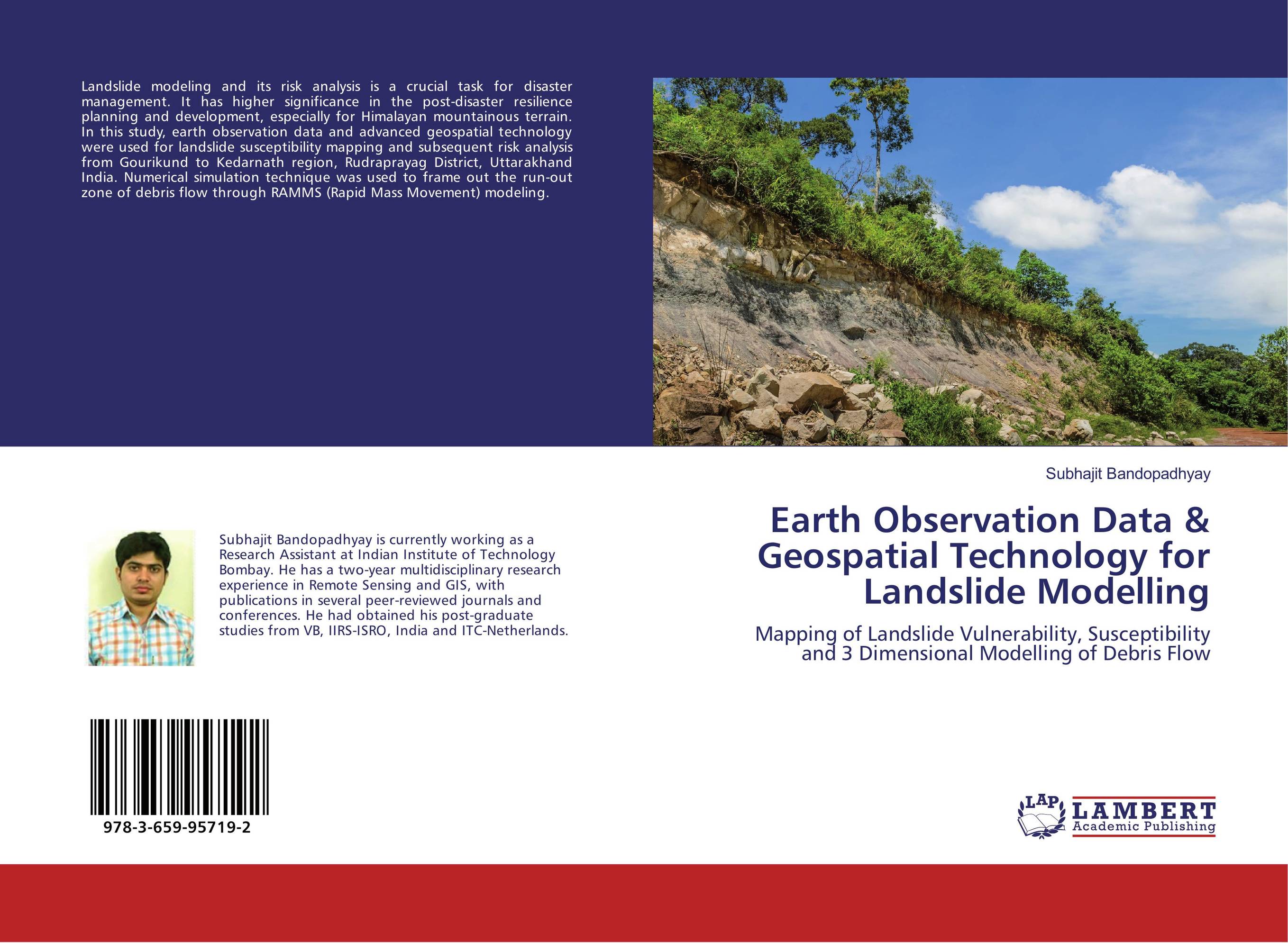
 | Отрасли знаний: Науки о Земле Subhajit Bandopadhyay Earth Observation Data & Geospatial Technology for Landslide Modelling. Mapping of Landslide Vulnerability, Susceptibility and 3 Dimensional Modelling of Debris Flow. 2016 г., 68 стр., мягкий переплет Landslide modeling and its risk analysis is a crucial task for disaster management. It has higher significance in the post-disaster resilience planning and development, especially for Himalayan mountainous terrain. In this study, earth observation data and advanced geospatial technology were used for landslide susceptibility mapping and subsequent... | 21556 тг |


