| Поиск по каталогу |
|
(строгое соответствие)
|
- Профессиональная
- Научно-популярная
- Художественная
- Публицистика
- Детская
- Искусство
- Хобби, семья, дом
- Спорт
- Путеводители
- Блокноты, тетради, открытки
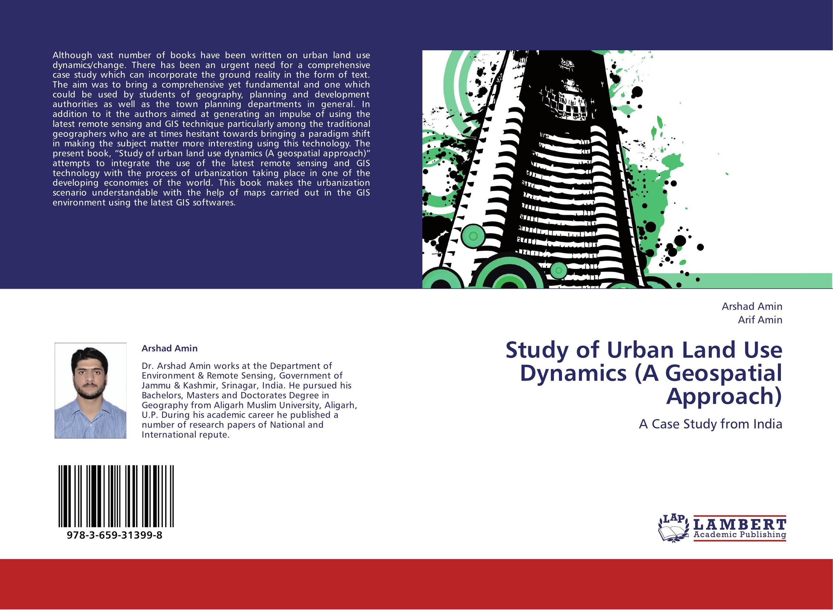
Study of Urban Land Use Dynamics (A Geospatial Approach). A Case Study from India

В наличии
| Местонахождение: Алматы | Состояние экземпляра: новый |

Бумажная
версия
версия
Автор: Arshad Amin and Arif Amin
ISBN: 9783659313998
Год издания: 2013
Формат книги: 60×90/16 (145×215 мм)
Количество страниц: 68
Издательство: LAP LAMBERT Academic Publishing
Цена: 30074 тг
Положить в корзину
| Способы доставки в город Алматы * комплектация (срок до отгрузки) не более 2 рабочих дней |
| Самовывоз из города Алматы (пункты самовывоза партнёра CDEK) |
| Курьерская доставка CDEK из города Москва |
| Доставка Почтой России из города Москва |
Аннотация: Although vast number of books have been written on urban land use dynamics/change. There has been an urgent need for a comprehensive case study which can incorporate the ground reality in the form of text. The aim was to bring a comprehensive yet fundamental and one which could be used by students of geography, planning and development authorities as well as the town planning departments in general. In addition to it the authors aimed at generating an impulse of using the latest remote sensing and GIS technique particularly among the traditional geographers who are at times hesitant towards bringing a paradigm shift in making the subject matter more interesting using this technology. The present book, “Study of urban land use dynamics (A geospatial approach)” attempts to integrate the use of the latest remote sensing and GIS technology with the process of urbanization taking place in one of the developing economies of the world. This book makes the urbanization scenario understandable with the help of maps carried out in the GIS environment using the latest GIS softwares.
Ключевые слова: GIS, urbanization, Remote sensing, Urban, Landuse
Похожие издания
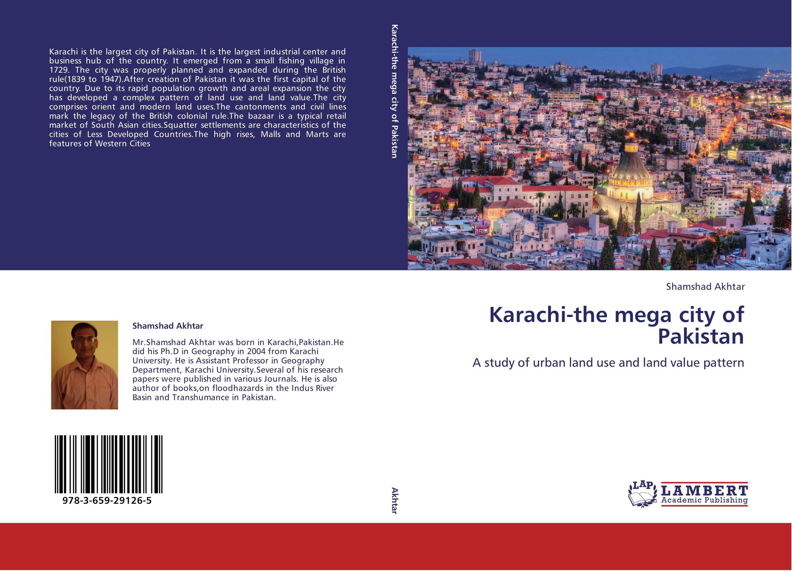
 | Отрасли знаний: Науки о Земле -> География Shamshad Akhtar Karachi-the mega city of Pakistan. A study of urban land use and land value pattern. 2012 г., 156 стр., мягкий переплет Karachi is the largest city of Pakistan. It is the largest industrial center and business hub of the country. It emerged from a small fishing village in 1729. The city was properly planned and expanded during the British rule(1839 to 1947).After creation of Pakistan it was the first capital of the country. Due to its rapid population growth and... | 38484 тг |


