| Поиск по каталогу |
|
(строгое соответствие)
|
- Профессиональная
- Научно-популярная
- Художественная
- Публицистика
- Детская
- Искусство
- Хобби, семья, дом
- Спорт
- Путеводители
- Блокноты, тетради, открытки
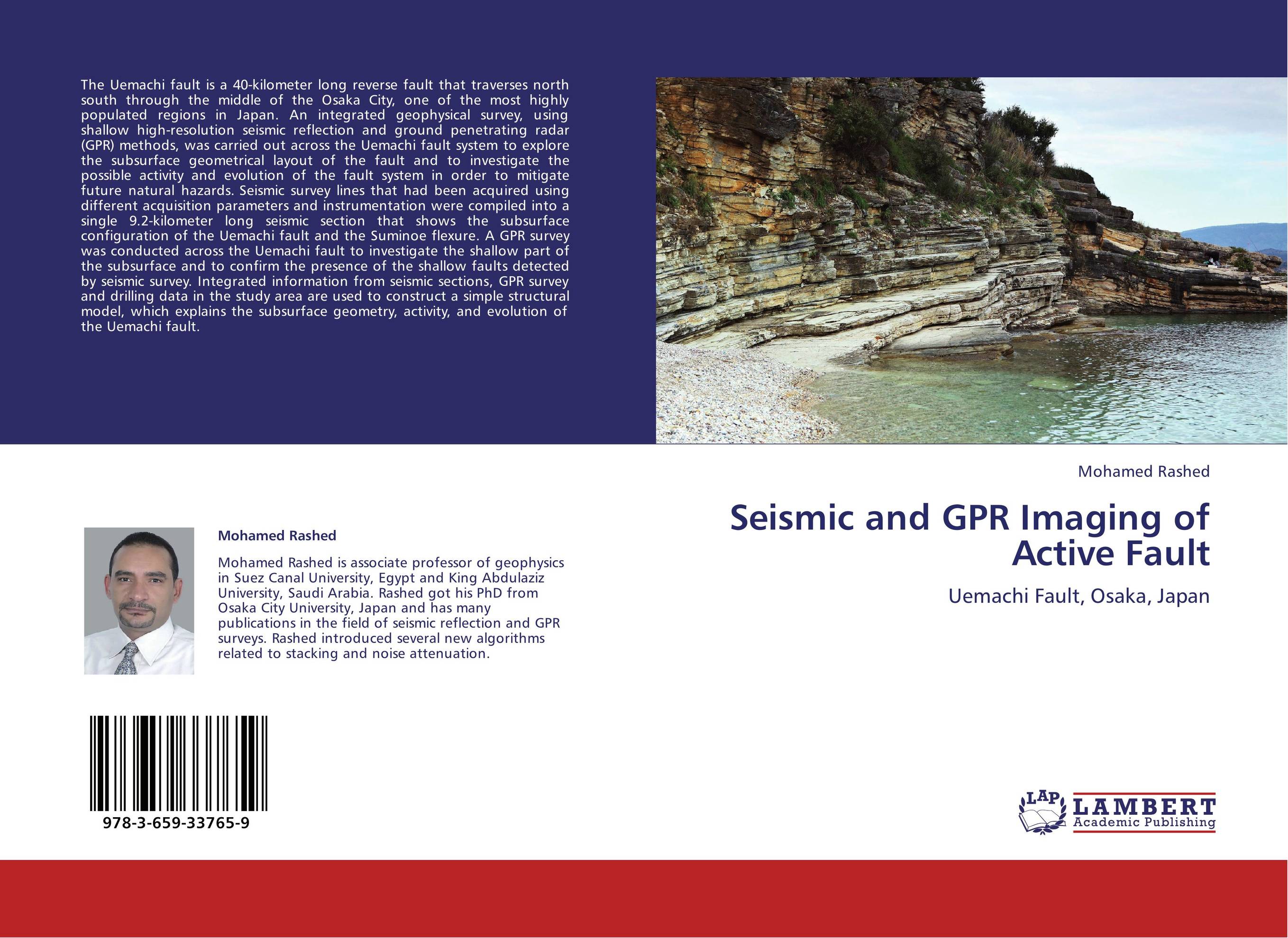
Seismic and GPR Imaging of Active Fault. Uemachi Fault, Osaka, Japan

В наличии
| Местонахождение: Алматы | Состояние экземпляра: новый |

Бумажная
версия
версия
Автор: Mohamed Rashed
ISBN: 9783659337659
Год издания: 2013
Формат книги: 60×90/16 (145×215 мм)
Количество страниц: 96
Издательство: LAP LAMBERT Academic Publishing
Цена: 31069 тг
Положить в корзину
| Способы доставки в город Алматы * комплектация (срок до отгрузки) не более 2 рабочих дней |
| Самовывоз из города Алматы (пункты самовывоза партнёра CDEK) |
| Курьерская доставка CDEK из города Москва |
| Доставка Почтой России из города Москва |
Аннотация: The Uemachi fault is a 40-kilometer long reverse fault that traverses north south through the middle of the Osaka City, one of the most highly populated regions in Japan. An integrated geophysical survey, using shallow high-resolution seismic reflection and ground penetrating radar (GPR) methods, was carried out across the Uemachi fault system to explore the subsurface geometrical layout of the fault and to investigate the possible activity and evolution of the fault system in order to mitigate future natural hazards. Seismic survey lines that had been acquired using different acquisition parameters and instrumentation were compiled into a single 9.2-kilometer long seismic section that shows the subsurface configuration of the Uemachi fault and the Suminoe flexure. A GPR survey was conducted across the Uemachi fault to investigate the shallow part of the subsurface and to confirm the presence of the shallow faults detected by seismic survey. Integrated information from seismic sections, GPR survey and drilling data in the study area are used to construct a simple structural model, which explains the subsurface geometry, activity, and evolution of the Uemachi fault.
Ключевые слова: active, Integration, Acquisition, Seismic, Interpretation, processing, GPR, Faults, Osaka


