| Поиск по каталогу |
|
(строгое соответствие)
|
- Профессиональная
- Научно-популярная
- Художественная
- Публицистика
- Детская
- Искусство
- Хобби, семья, дом
- Спорт
- Путеводители
- Блокноты, тетради, открытки
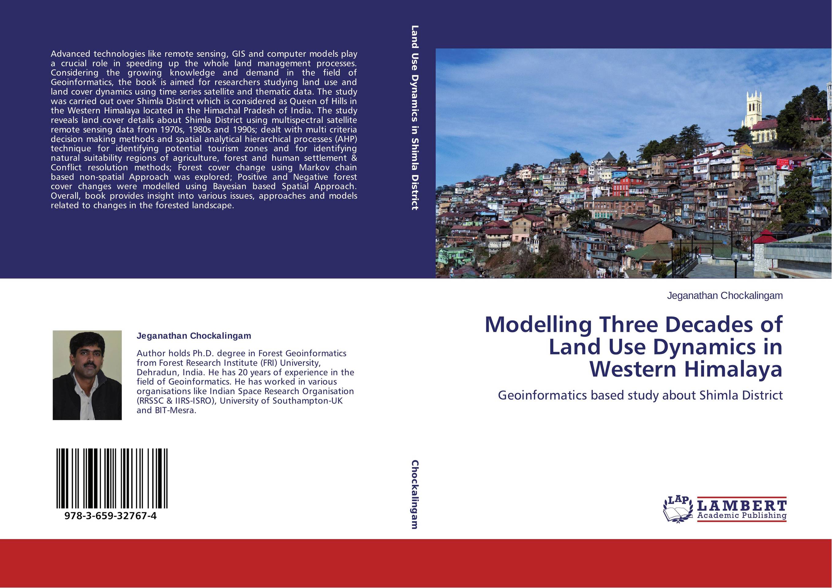
Modelling Three Decades of Land Use Dynamics in Western Himalaya. Geoinformatics based study about Shimla District

В наличии
| Местонахождение: Алматы | Состояние экземпляра: новый |

Бумажная
версия
версия
Автор: Jeganathan Chockalingam
ISBN: 9783659327674
Год издания: 2013
Формат книги: 60×90/16 (145×215 мм)
Количество страниц: 256
Издательство: LAP LAMBERT Academic Publishing
Цена: 52605 тг
Положить в корзину
| Способы доставки в город Алматы * комплектация (срок до отгрузки) не более 2 рабочих дней |
| Самовывоз из города Алматы (пункты самовывоза партнёра CDEK) |
| Курьерская доставка CDEK из города Москва |
| Доставка Почтой России из города Москва |
Аннотация: Advanced technologies like remote sensing, GIS and computer models play a crucial role in speeding up the whole land management processes. Considering the growing knowledge and demand in the field of Geoinformatics, the book is aimed for researchers studying land use and land cover dynamics using time series satellite and thematic data. The study was carried out over Shimla Distirct which is considered as Queen of Hills in the Western Himalaya located in the Himachal Pradesh of India. The study reveals land cover details about Shimla District using multispectral satellite remote sensing data from 1970s, 1980s and 1990s; dealt with multi criteria decision making methods and spatial analytical hierarchical processes (AHP) technique for identifying potential tourism zones and for identifying natural suitability regions of agriculture, forest and human settlement & Conflict resolution methods; Forest cover change using Markov chain based non-spatial Approach was explored; Positive and Negative forest cover changes were modelled using Bayesian based Spatial Approach. Overall, book provides insight into various issues, approaches and models related to changes in the forested landscape.
Ключевые слова: Model, AHP, Tourism, India, GIS, Remote sensing, Himalaya, Shimla, spatial decision making, Geoinformatics, MCDM


