| Поиск по каталогу |
|
(строгое соответствие)
|
- Профессиональная
- Научно-популярная
- Художественная
- Публицистика
- Детская
- Искусство
- Хобби, семья, дом
- Спорт
- Путеводители
- Блокноты, тетради, открытки
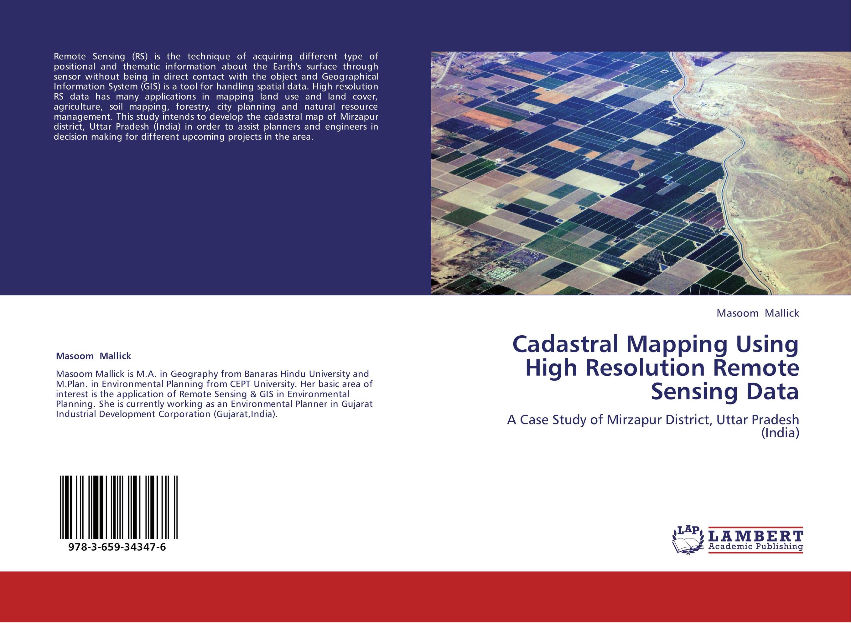
Cadastral Mapping Using High Resolution Remote Sensing Data. A Case Study of Mirzapur District, Uttar Pradesh (India)

В наличии
| Местонахождение: Алматы | Состояние экземпляра: новый |

Бумажная
версия
версия
Автор: Masoom Mallick
ISBN: 9783659343476
Год издания: 2013
Формат книги: 60×90/16 (145×215 мм)
Количество страниц: 64
Издательство: LAP LAMBERT Academic Publishing
Цена: 29932 тг
Положить в корзину
| Способы доставки в город Алматы * комплектация (срок до отгрузки) не более 2 рабочих дней |
| Самовывоз из города Алматы (пункты самовывоза партнёра CDEK) |
| Курьерская доставка CDEK из города Москва |
| Доставка Почтой России из города Москва |
Аннотация: Remote Sensing (RS) is the technique of acquiring different type of positional and thematic information about the Earth's surface through sensor without being in direct contact with the object and Geographical Information System (GIS) is a tool for handling spatial data. High resolution RS data has many applications in mapping land use and land cover, agriculture, soil mapping, forestry, city planning and natural resource management. This study intends to develop the cadastral map of Mirzapur district, Uttar Pradesh (India) in order to assist planners and engineers in decision making for different upcoming projects in the area.
Ключевые слова: Remote sensing, GIS application in cadastral mapping


