| Поиск по каталогу |
|
(строгое соответствие)
|
- Профессиональная
- Научно-популярная
- Художественная
- Публицистика
- Детская
- Искусство
- Хобби, семья, дом
- Спорт
- Путеводители
- Блокноты, тетради, открытки
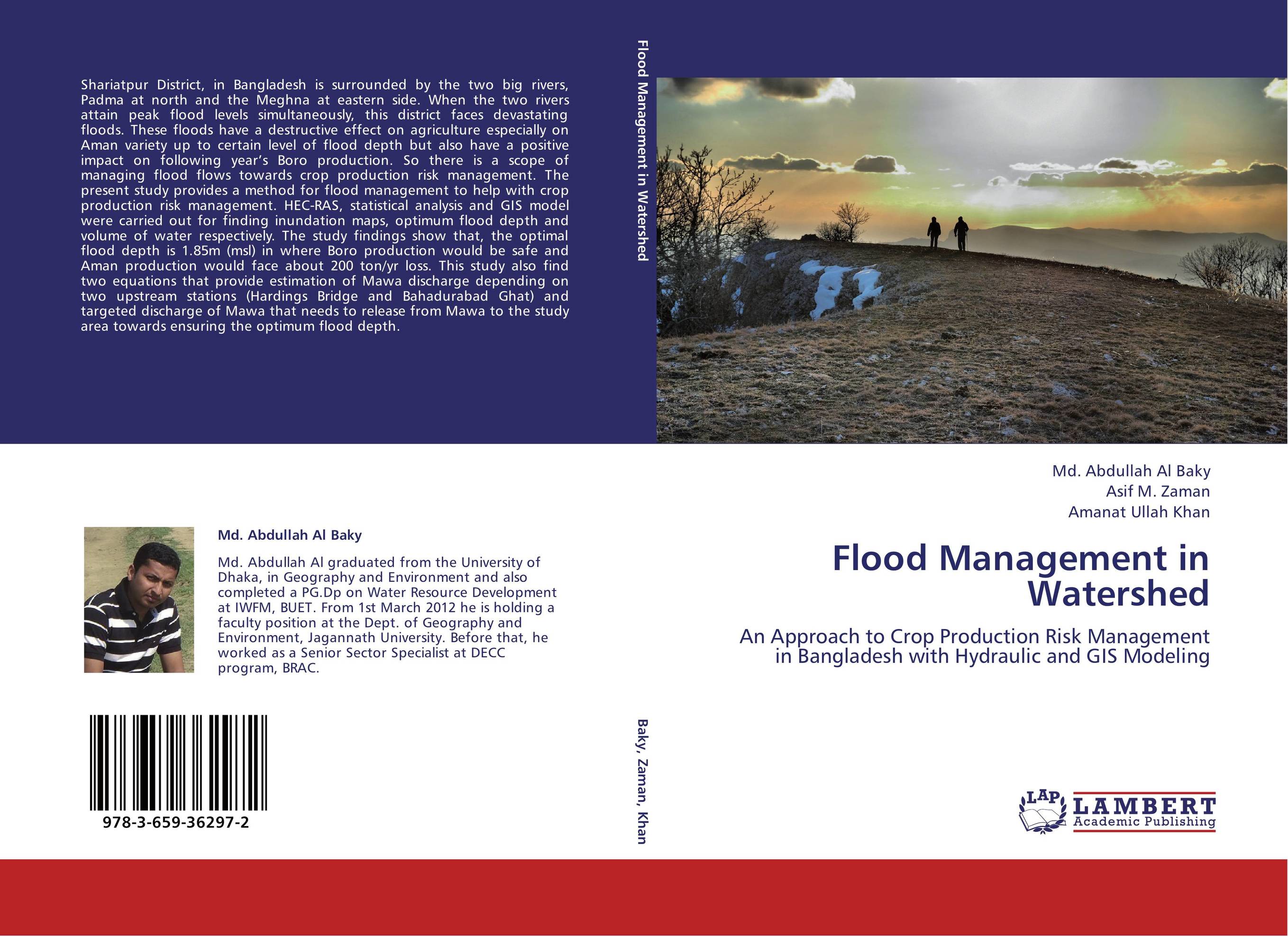
Flood Management in Watershed. An Approach to Crop Production Risk Management in Bangladesh with Hydraulic and GIS Modeling

В наличии
| Местонахождение: Алматы | Состояние экземпляра: новый |

Бумажная
версия
версия
Автор: Md. Abdullah Al Baky,Asif M. Zaman and Amanat Ullah Khan
ISBN: 9783659362972
Год издания: 2013
Формат книги: 60×90/16 (145×215 мм)
Количество страниц: 100
Издательство: LAP LAMBERT Academic Publishing
Цена: 31211 тг
Положить в корзину
| Способы доставки в город Алматы * комплектация (срок до отгрузки) не более 2 рабочих дней |
| Самовывоз из города Алматы (пункты самовывоза партнёра CDEK) |
| Курьерская доставка CDEK из города Москва |
| Доставка Почтой России из города Москва |
Аннотация: Shariatpur District, in Bangladesh is surrounded by the two big rivers, Padma at north and the Meghna at eastern side. When the two rivers attain peak flood levels simultaneously, this district faces devastating floods. These floods have a destructive effect on agriculture especially on Aman variety up to certain level of flood depth but also have a positive impact on following year’s Boro production. So there is a scope of managing flood flows towards crop production risk management. The present study provides a method for flood management to help with crop production risk management. HEC-RAS, statistical analysis and GIS model were carried out for finding inundation maps, optimum flood depth and volume of water respectively. The study findings show that, the optimal flood depth is 1.85m (msl) in where Boro production would be safe and Aman production would face about 200 ton/yr loss. This study also find two equations that provide estimation of Mawa discharge depending on two upstream stations (Hardings Bridge and Bahadurabad Ghat) and targeted discharge of Mawa that needs to release from Mawa to the study area towards ensuring the optimum flood depth.
Ключевые слова: GIS, discharge, HEC-RAS, Inundation severity, Crop Production Risk management, Flood Depth


