| Поиск по каталогу |
|
(строгое соответствие)
|
- Профессиональная
- Научно-популярная
- Художественная
- Публицистика
- Детская
- Искусство
- Хобби, семья, дом
- Спорт
- Путеводители
- Блокноты, тетради, открытки
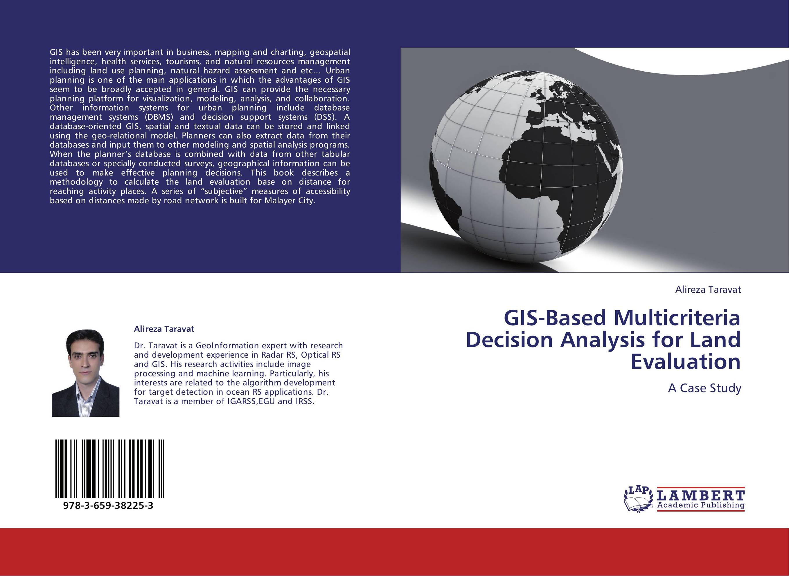
GIS-Based Multicriteria Decision Analysis for Land Evaluation. A Case Study

В наличии
| Местонахождение: Алматы | Состояние экземпляра: новый |

Бумажная
версия
версия
Автор: Alireza Taravat
ISBN: 9783659382253
Год издания: 2013
Формат книги: 60×90/16 (145×215 мм)
Количество страниц: 80
Издательство: LAP LAMBERT Academic Publishing
Цена: 23578 тг
Положить в корзину
| Способы доставки в город Алматы * комплектация (срок до отгрузки) не более 2 рабочих дней |
| Самовывоз из города Алматы (пункты самовывоза партнёра CDEK) |
| Курьерская доставка CDEK из города Москва |
| Доставка Почтой России из города Москва |
Аннотация: GIS has been very important in business, mapping and charting, geospatial intelligence, health services, tourisms, and natural resources management including land use planning, natural hazard assessment and etc… Urban planning is one of the main applications in which the advantages of GIS seem to be broadly accepted in general. GIS can provide the necessary planning platform for visualization, modeling, analysis, and collaboration. Other information systems for urban planning include database management systems (DBMS) and decision support systems (DSS). A database-oriented GIS, spatial and textual data can be stored and linked using the geo-relational model. Planners can also extract data from their databases and input them to other modeling and spatial analysis programs. When the planner’s database is combined with data from other tabular databases or specially conducted surveys, geographical information can be used to make effective planning decisions. This book describes a methodology to calculate the land evaluation base on distance for reaching activity places. A series of “subjective” measures of accessibility based on distances made by road network is built for Malayer City.
Ключевые слова: Urban planning, fuzzy logic, geographic information system, GIS, Iran, ArcGIS, GIS-Based Multicriteria Decision Analysis, Fuzzy Majority Approach, Data analysis, network analysis, Modeling and Automation, Ordered Weighted Averaging


