| Поиск по каталогу |
|
(строгое соответствие)
|
- Профессиональная
- Научно-популярная
- Художественная
- Публицистика
- Детская
- Искусство
- Хобби, семья, дом
- Спорт
- Путеводители
- Блокноты, тетради, открытки
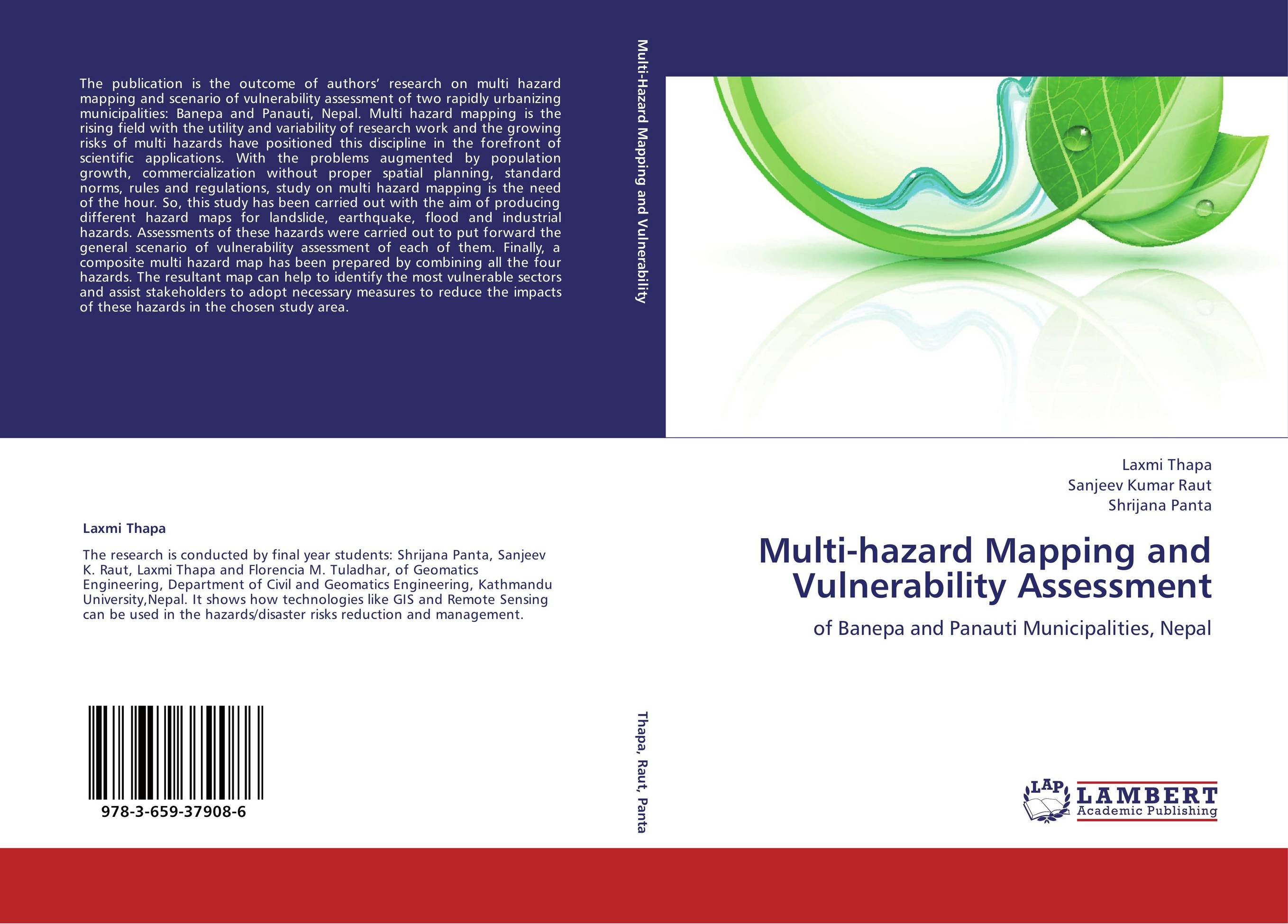
Multi-hazard Mapping and Vulnerability Assessment. Of Banepa and Panauti Municipalities, Nepal

В наличии
| Местонахождение: Алматы | Состояние экземпляра: новый |

Бумажная
версия
версия
Автор: Laxmi Thapa,Sanjeev Kumar Raut and Shrijana Panta
ISBN: 9783659379086
Год издания: 2013
Формат книги: 60×90/16 (145×215 мм)
Количество страниц: 176
Издательство: LAP LAMBERT Academic Publishing
Цена: 46011 тг
Положить в корзину
| Способы доставки в город Алматы * комплектация (срок до отгрузки) не более 2 рабочих дней |
| Самовывоз из города Алматы (пункты самовывоза партнёра CDEK) |
| Курьерская доставка CDEK из города Москва |
| Доставка Почтой России из города Москва |
Аннотация: The publication is the outcome of authors’ research on multi hazard mapping and scenario of vulnerability assessment of two rapidly urbanizing municipalities: Banepa and Panauti, Nepal. Multi hazard mapping is the rising field with the utility and variability of research work and the growing risks of multi hazards have positioned this discipline in the forefront of scientific applications. With the problems augmented by population growth, commercialization without proper spatial planning, standard norms, rules and regulations, study on multi hazard mapping is the need of the hour. So, this study has been carried out with the aim of producing different hazard maps for landslide, earthquake, flood and industrial hazards. Assessments of these hazards were carried out to put forward the general scenario of vulnerability assessment of each of them. Finally, a composite multi hazard map has been prepared by combining all the four hazards. The resultant map can help to identify the most vulnerable sectors and assist stakeholders to adopt necessary measures to reduce the impacts of these hazards in the chosen study area.
Ключевые слова: flood, industry, earthquake, Landslide, vulnerability assessment, Hazard Assessment, exposure statistics, composite multi-hazard


