| Поиск по каталогу |
|
(строгое соответствие)
|
- Профессиональная
- Научно-популярная
- Художественная
- Публицистика
- Детская
- Искусство
- Хобби, семья, дом
- Спорт
- Путеводители
- Блокноты, тетради, открытки
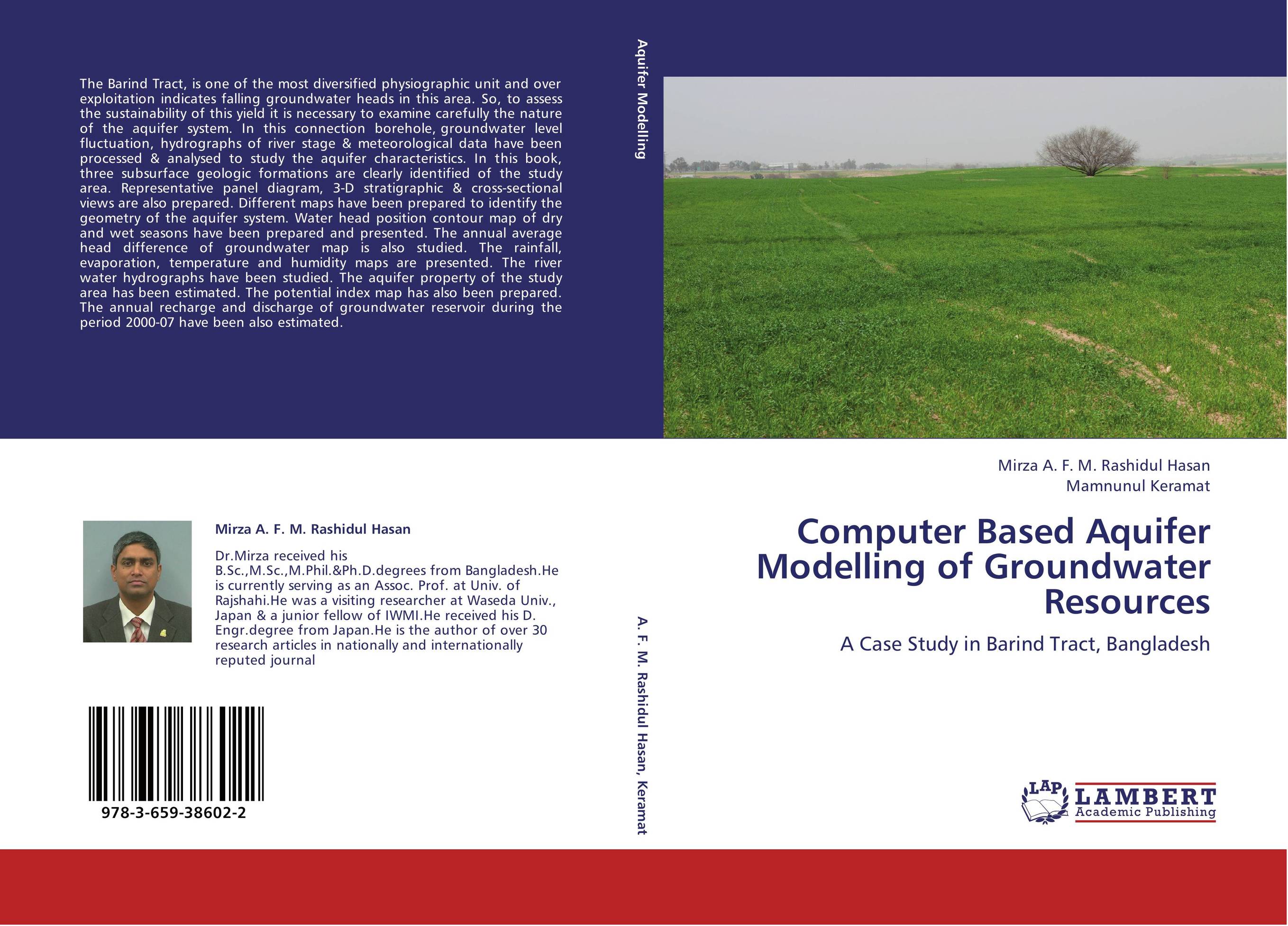
Computer Based Aquifer Modelling of Groundwater Resources. A Case Study in Barind Tract, Bangladesh

В наличии
| Местонахождение: Алматы | Состояние экземпляра: новый |

Бумажная
версия
версия
Автор: Mirza A. F. M. Rashidul Hasan and Mamnunul Keramat
ISBN: 9783659386022
Год издания: 2013
Формат книги: 60×90/16 (145×215 мм)
Количество страниц: 164
Издательство: LAP LAMBERT Academic Publishing
Цена: 45585 тг
Положить в корзину
| Способы доставки в город Алматы * комплектация (срок до отгрузки) не более 2 рабочих дней |
| Самовывоз из города Алматы (пункты самовывоза партнёра CDEK) |
| Курьерская доставка CDEK из города Москва |
| Доставка Почтой России из города Москва |
Аннотация: The Barind Tract, is one of the most diversified physiographic unit and over exploitation indicates falling groundwater heads in this area. So, to assess the sustainability of this yield it is necessary to examine carefully the nature of the aquifer system. In this connection borehole, groundwater level fluctuation, hydrographs of river stage & meteorological data have been processed & analysed to study the aquifer characteristics. In this book, three subsurface geologic formations are clearly identified of the study area. Representative panel diagram, 3-D stratigraphic & cross-sectional views are also prepared. Different maps have been prepared to identify the geometry of the aquifer system. Water head position contour map of dry and wet seasons have been prepared and presented. The annual average head difference of groundwater map is also studied. The rainfall, evaporation, temperature and humidity maps are presented. The river water hydrographs have been studied. The aquifer property of the study area has been estimated. The potential index map has also been prepared. The annual recharge and discharge of groundwater reservoir during the period 2000-07 have been also estimated.
Ключевые слова: Groundwater, Boreholelithologs, Aquifer, Hidrogeological Parameters, Groundwater balance


