| Поиск по каталогу |
|
(строгое соответствие)
|
- Профессиональная
- Научно-популярная
- Художественная
- Публицистика
- Детская
- Искусство
- Хобби, семья, дом
- Спорт
- Путеводители
- Блокноты, тетради, открытки
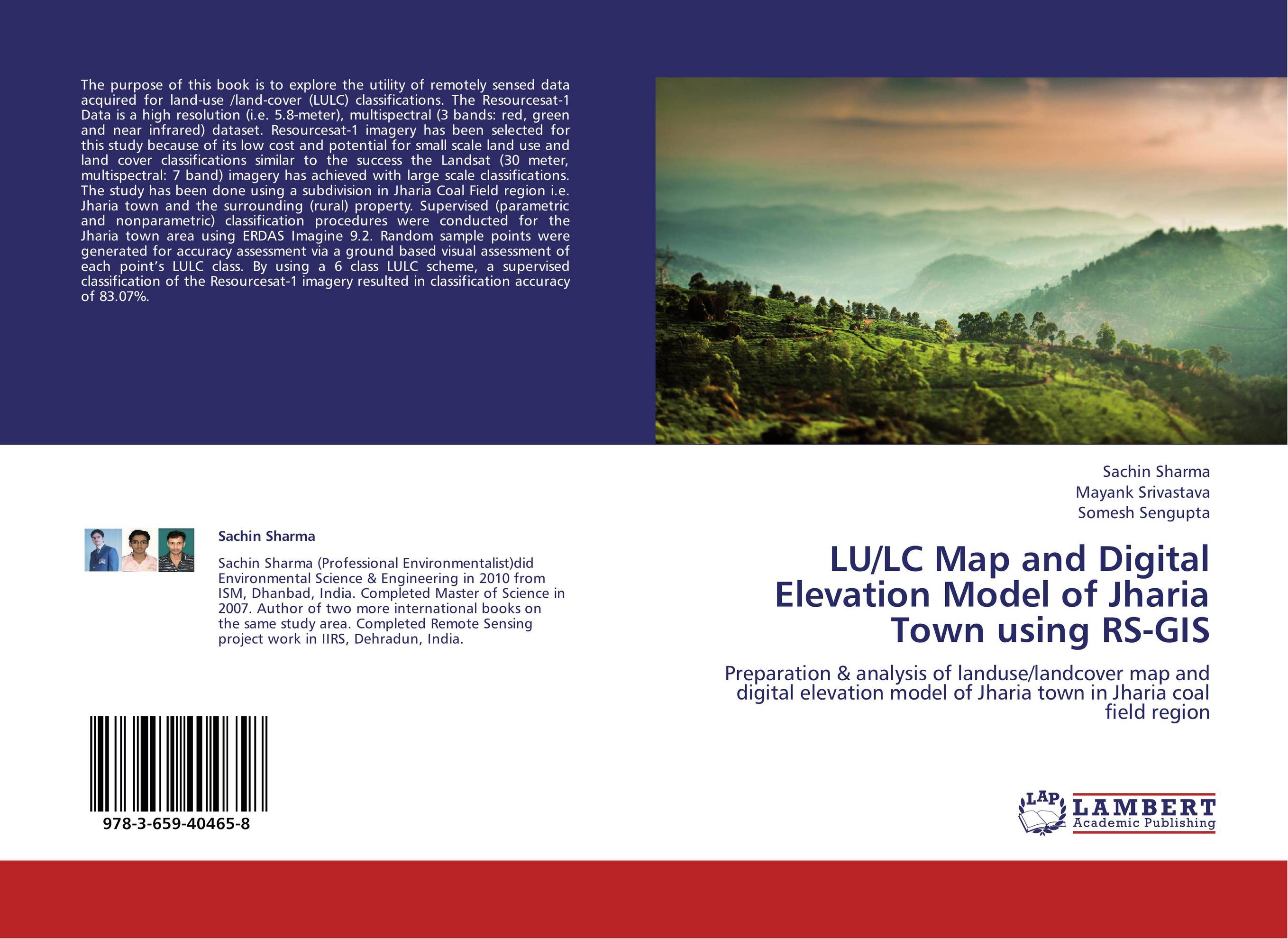
LU/LC Map and Digital Elevation Model of Jharia Town using RS-GIS. Preparation & analysis of landuse/landcover map and digital elevation model of Jharia town in Jharia coal field region

В наличии
| Местонахождение: Алматы | Состояние экземпляра: новый |

Бумажная
версия
версия
Автор: Sachin Sharma,Mayank Srivastava and Somesh Sengupta
ISBN: 9783659404658
Год издания: 2013
Формат книги: 60×90/16 (145×215 мм)
Количество страниц: 92
Издательство: LAP LAMBERT Academic Publishing
Цена: 34044 тг
Положить в корзину
| Способы доставки в город Алматы * комплектация (срок до отгрузки) не более 2 рабочих дней |
| Самовывоз из города Алматы (пункты самовывоза партнёра CDEK) |
| Курьерская доставка CDEK из города Москва |
| Доставка Почтой России из города Москва |
Аннотация: The purpose of this book is to explore the utility of remotely sensed data acquired for land-use /land-cover (LULC) classifications. The Resourcesat-1 Data is a high resolution (i.e. 5.8-meter), multispectral (3 bands: red, green and near infrared) dataset. Resourcesat-1 imagery has been selected for this study because of its low cost and potential for small scale land use and land cover classifications similar to the success the Landsat (30 meter, multispectral: 7 band) imagery has achieved with large scale classifications. The study has been done using a subdivision in Jharia Coal Field region i.e. Jharia town and the surrounding (rural) property. Supervised (parametric and nonparametric) classification procedures were conducted for the Jharia town area using ERDAS Imagine 9.2. Random sample points were generated for accuracy assessment via a ground based visual assessment of each point’s LULC class. By using a 6 class LULC scheme, a supervised classification of the Resourcesat-1 imagery resulted in classification accuracy of 83.07%.
Ключевые слова: Remote sensing, Digital elevation model, GIS, Land use/land cover


