


| Поиск по каталогу |
|
(строгое соответствие)
|
- Профессиональная
- Научно-популярная
- Художественная
- Публицистика
- Детская
- Искусство
- Хобби, семья, дом
- Спорт
- Путеводители
- Блокноты, тетради, открытки
Flood risk assessment for the Thach Han River Basin, Central Vietnam.

В наличии
| Местонахождение: Алматы | Состояние экземпляра: новый |

Бумажная
версия
версия
Автор: Trinh Quoc Viet
ISBN: 9783659397554
Год издания: 2013
Формат книги: 60×90/16 (145×215 мм)
Количество страниц: 152
Издательство: LAP LAMBERT Academic Publishing
Цена: 39875 тг
Положить в корзину
| Способы доставки в город Алматы * комплектация (срок до отгрузки) не более 2 рабочих дней |
| Самовывоз из города Алматы (пункты самовывоза партнёра CDEK) |
| Курьерская доставка CDEK из города Москва |
| Доставка Почтой России из города Москва |
Аннотация: Flooding is one of the most common natural disasters worldwide and has the largest economic impact on society. The developing world is particularly vulnerable, as the people there are disproportionately affected by flooding. In Vietnam, flooding occurs annually, and the Thach Han Basin is among the areas vulnerable to flooding. The book describes the process to assess flood risk in the basin. The MIKE model family, including a hydrological model (NAM), hydraulic dynamic model (MIKE 11) and MIKE 11 GIS, was the primary tool applied to create flood risk maps. Risk is herein understood as a function of the hazard and the vulnerability of society to damage due to the hazard. The hazard maps were constructed from the duration maps and the inundation maps. Through field survey and data analysis, land use and population density were chosen as the basis to develop the flood vulnerability maps. Flood risk maps were constructed by integrating the hazard and vulnerability maps.
Ключевые слова: Flooding, Flood Hazard, Flood Vulnerability, Flood mapping, flood modelling, flood risk assessment, Thach Han River Basin
Похожие издания
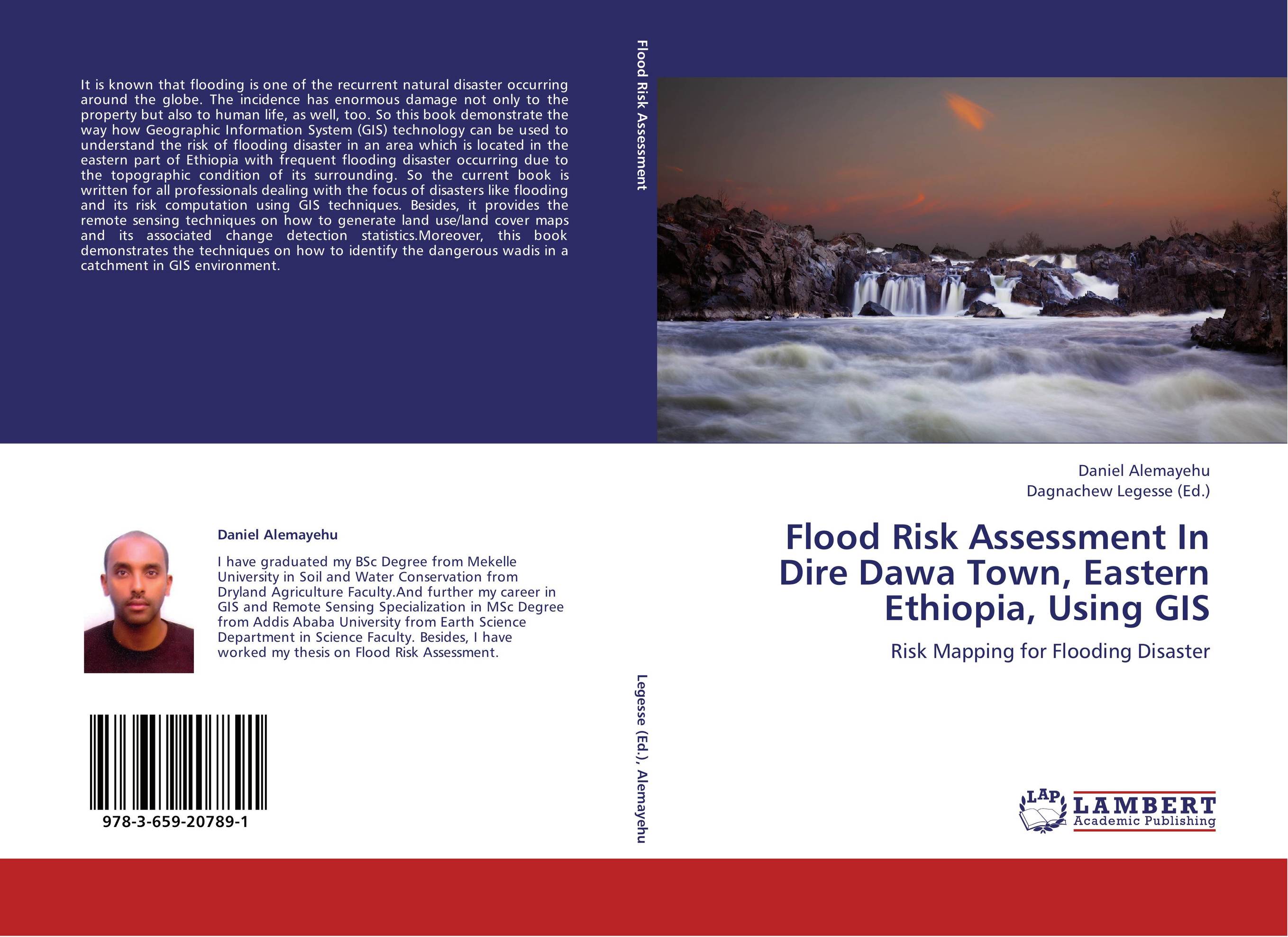 | Отрасли знаний: Точные науки -> Информатика и программирование -> Информационные технологии Daniel Alemayehu and Dagnachew Legesse Flood Risk Assessment In Dire Dawa Town, Eastern Ethiopia, Using GIS. Risk Mapping for Flooding Disaster. 2012 г., 104 стр., мягкий переплет It is known that flooding is one of the recurrent natural disaster occurring around the globe. The incidence has enormous damage not only to the property but also to human life, as well, too. So this book demonstrate the way how Geographic Information System (GIS) technology can be used to understand the risk of flooding disaster in an area which... | 31353 тг |
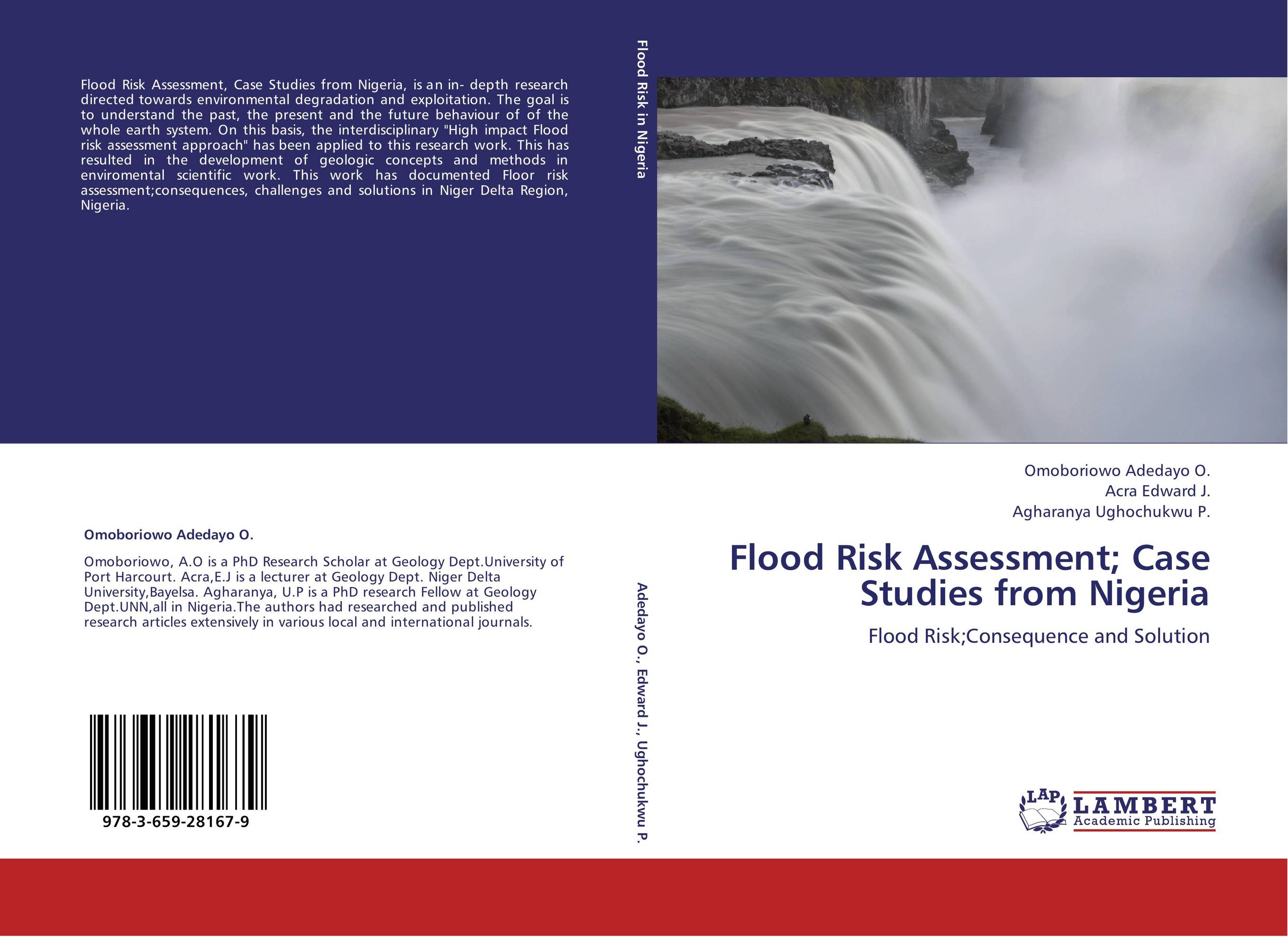 | Отрасли знаний: Науки о Земле Omoboriowo Adedayo O.,Acra Edward J. and Agharanya Ughochukwu P. Flood Risk Assessment; Case Studies from Nigeria. Flood Risk;Consequence and Solution. 2012 г., 104 стр., мягкий переплет Flood Risk Assessment, Case Studies from Nigeria, is an in- depth research directed towards environmental degradation and exploitation. The goal is to understand the past, the present and the future behaviour of of the whole earth system. On this basis, the interdisciplinary "High impact Flood risk assessment approach" has been... | 31353 тг |
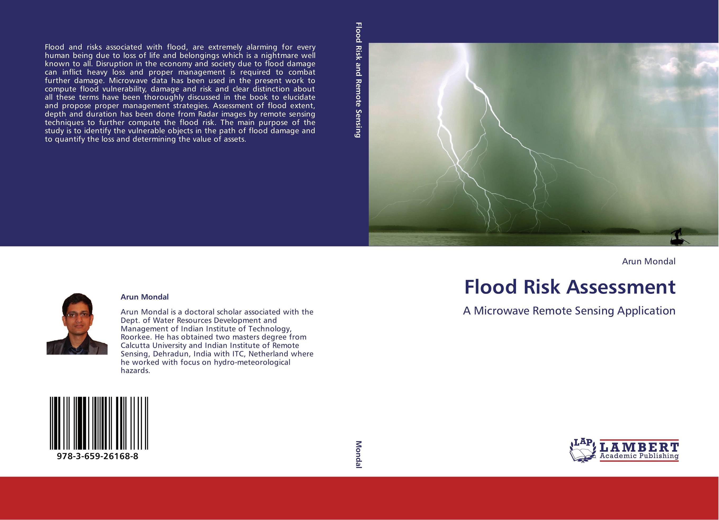 | Отрасли знаний: Науки о Земле -> География Arun Mondal Flood Risk Assessment. A Microwave Remote Sensing Application. 2012 г., 136 стр., мягкий переплет Flood and risks associated with flood, are extremely alarming for every human being due to loss of life and belongings which is a nightmare well known to all. Disruption in the economy and society due to flood damage can inflict heavy loss and proper management is required to combat further damage. Microwave data has been used in the present work... | 37774 тг |
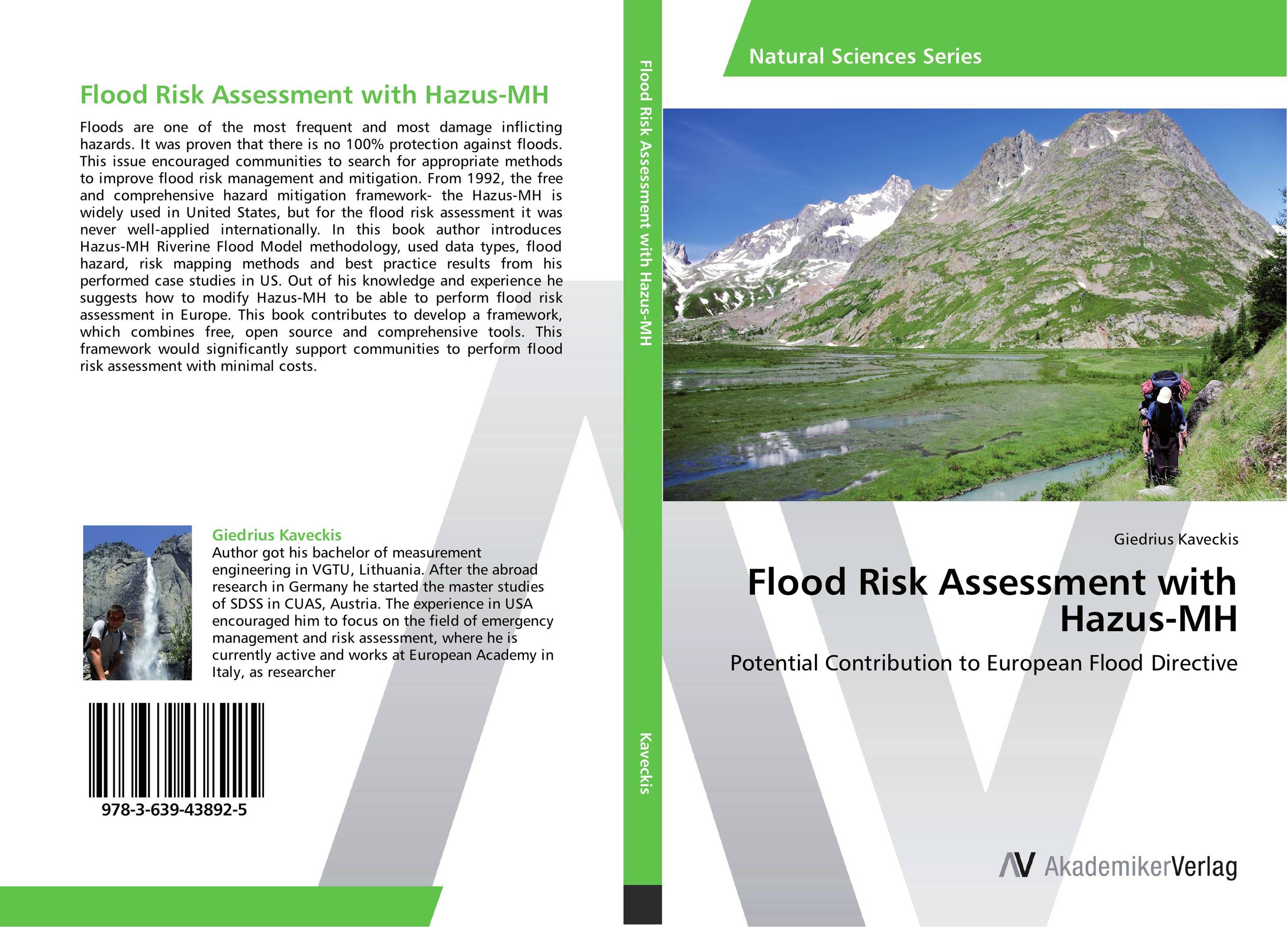 | Отрасли знаний: Науки о Земле -> География Giedrius Kaveckis Flood Risk Assessment with Hazus-MH. Potential Contribution to European Flood Directive. 2012 г., 160 стр., мягкий переплет Floods are one of the most frequent and most damage inflicting hazards. It was proven that there is no 100% protection against floods. This issue encouraged communities to search for appropriate methods to improve flood risk management and mitigation. From 1992, the free and comprehensive hazard mitigation framework- the Hazus-MH is widely used in... | 28560 тг |
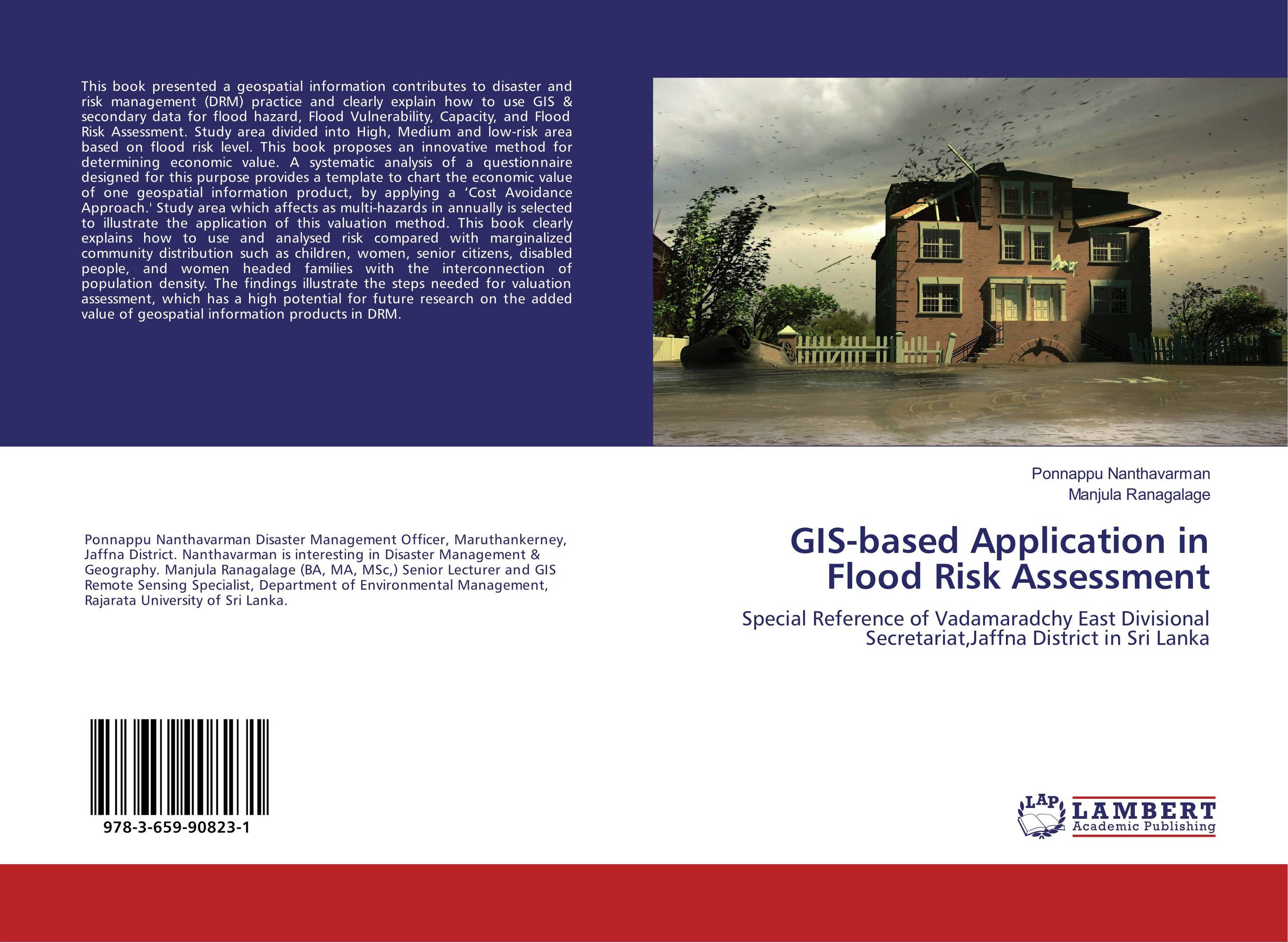 | Отрасли знаний: Науки о Земле Ponnappu Nanthavarman and Manjula Ranagalage GIS-based Application in Flood Risk Assessment. Special Reference of Vadamaradchy East Divisional Secretariat,Jaffna District in Sri Lanka. 2016 г., 68 стр., мягкий переплет This book presented a geospatial information contributes to disaster and risk management (DRM) practice and clearly explain how to use GIS & secondary data for flood hazard, Flood Vulnerability, Capacity, and Flood Risk Assessment. Study area divided into High, Medium and low-risk area based on flood risk level. This book proposes an innovative... | 23152 тг |