| Поиск по каталогу |
|
(строгое соответствие)
|
- Профессиональная
- Научно-популярная
- Художественная
- Публицистика
- Детская
- Искусство
- Хобби, семья, дом
- Спорт
- Путеводители
- Блокноты, тетради, открытки
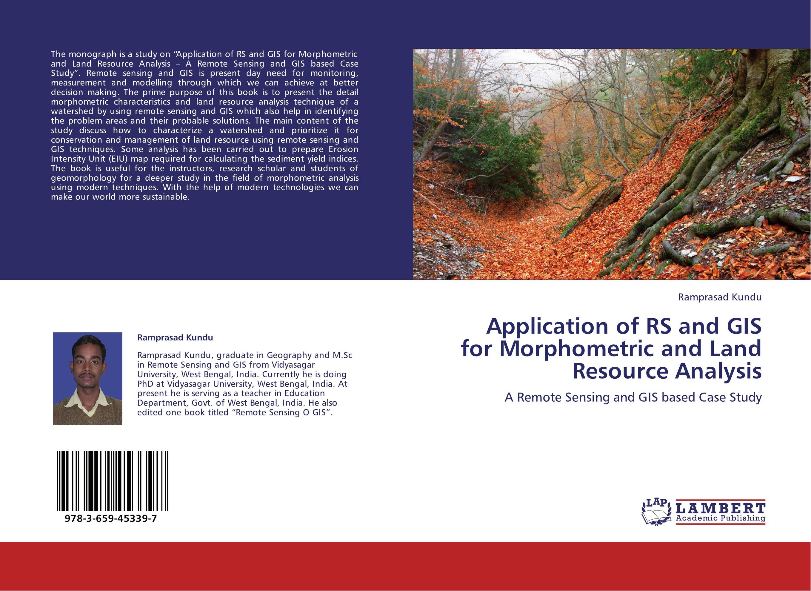
Application of RS and GIS for Morphometric and Land Resource Analysis. A Remote Sensing and GIS based Case Study

В наличии
| Местонахождение: Алматы | Состояние экземпляра: новый |

Бумажная
версия
версия
Автор: Ramprasad Kundu
ISBN: 9783659453397
Год издания: 2013
Формат книги: 60×90/16 (145×215 мм)
Количество страниц: 96
Издательство: LAP LAMBERT Academic Publishing
Цена: 34186 тг
Положить в корзину
| Способы доставки в город Алматы * комплектация (срок до отгрузки) не более 2 рабочих дней |
| Самовывоз из города Алматы (пункты самовывоза партнёра CDEK) |
| Курьерская доставка CDEK из города Москва |
| Доставка Почтой России из города Москва |
Аннотация: The monograph is a study on “Application of RS and GIS for Morphometric and Land Resource Analysis – A Remote Sensing and GIS based Case Study”. Remote sensing and GIS is present day need for monitoring, measurement and modelling through which we can achieve at better decision making. The prime purpose of this book is to present the detail morphometric characteristics and land resource analysis technique of a watershed by using remote sensing and GIS which also help in identifying the problem areas and their probable solutions. The main content of the study discuss how to characterize a watershed and prioritize it for conservation and management of land resource using remote sensing and GIS techniques. Some analysis has been carried out to prepare Erosion Intensity Unit (EIU) map required for calculating the sediment yield indices. The book is useful for the instructors, research scholar and students of geomorphology for a deeper study in the field of morphometric analysis using modern techniques. With the help of modern technologies we can make our world more sustainable.
Ключевые слова: Prioritization, Morphometric analysis, Remote Sensing and GIS, Sediment Yield Index, Erosion Intensity Unit


