| Поиск по каталогу |
|
(строгое соответствие)
|
- Профессиональная
- Научно-популярная
- Художественная
- Публицистика
- Детская
- Искусство
- Хобби, семья, дом
- Спорт
- Путеводители
- Блокноты, тетради, открытки
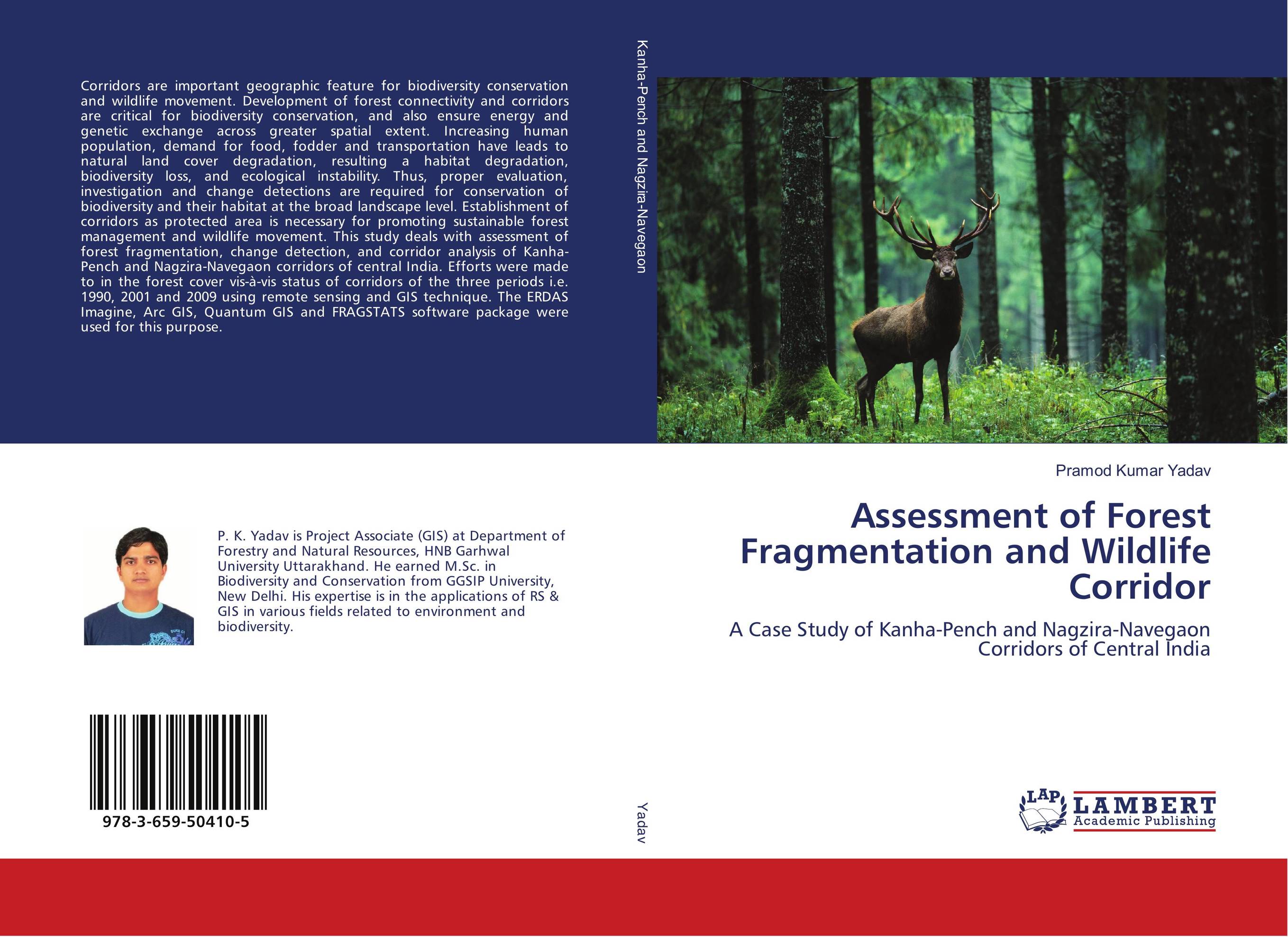
Assessment of Forest Fragmentation and Wildlife Corridor. A Case Study of Kanha-Pench and Nagzira-Navegaon Corridors of Central India

В наличии
| Местонахождение: Алматы | Состояние экземпляра: новый |

Бумажная
версия
версия
Автор: Pramod Kumar Yadav
ISBN: 9783659504105
Год издания: 2013
Формат книги: 60×90/16 (145×215 мм)
Количество страниц: 104
Издательство: LAP LAMBERT Academic Publishing
Цена: 34471 тг
Положить в корзину
| Способы доставки в город Алматы * комплектация (срок до отгрузки) не более 2 рабочих дней |
| Самовывоз из города Алматы (пункты самовывоза партнёра CDEK) |
| Курьерская доставка CDEK из города Москва |
| Доставка Почтой России из города Москва |
Аннотация: Corridors are important geographic feature for biodiversity conservation and wildlife movement. Development of forest connectivity and corridors are critical for biodiversity conservation, and also ensure energy and genetic exchange across greater spatial extent. Increasing human population, demand for food, fodder and transportation have leads to natural land cover degradation, resulting a habitat degradation, biodiversity loss, and ecological instability. Thus, proper evaluation, investigation and change detections are required for conservation of biodiversity and their habitat at the broad landscape level. Establishment of corridors as protected area is necessary for promoting sustainable forest management and wildlife movement. This study deals with assessment of forest fragmentation, change detection, and corridor analysis of Kanha-Pench and Nagzira-Navegaon corridors of central India. Efforts were made to in the forest cover vis-?-vis status of corridors of the three periods i.e. 1990, 2001 and 2009 using remote sensing and GIS technique. The ERDAS Imagine, Arc GIS, Quantum GIS and FRAGSTATS software package were used for this purpose.
Ключевые слова: GIS, Remote sensing, Kanha-Pench Corridor, Nagzira-Navegaon Corridor, forest fragmentation, FRAGSTATS


