


| Поиск по каталогу |
|
(строгое соответствие)
|
- Профессиональная
- Научно-популярная
- Художественная
- Публицистика
- Детская
- Искусство
- Хобби, семья, дом
- Спорт
- Путеводители
- Блокноты, тетради, открытки
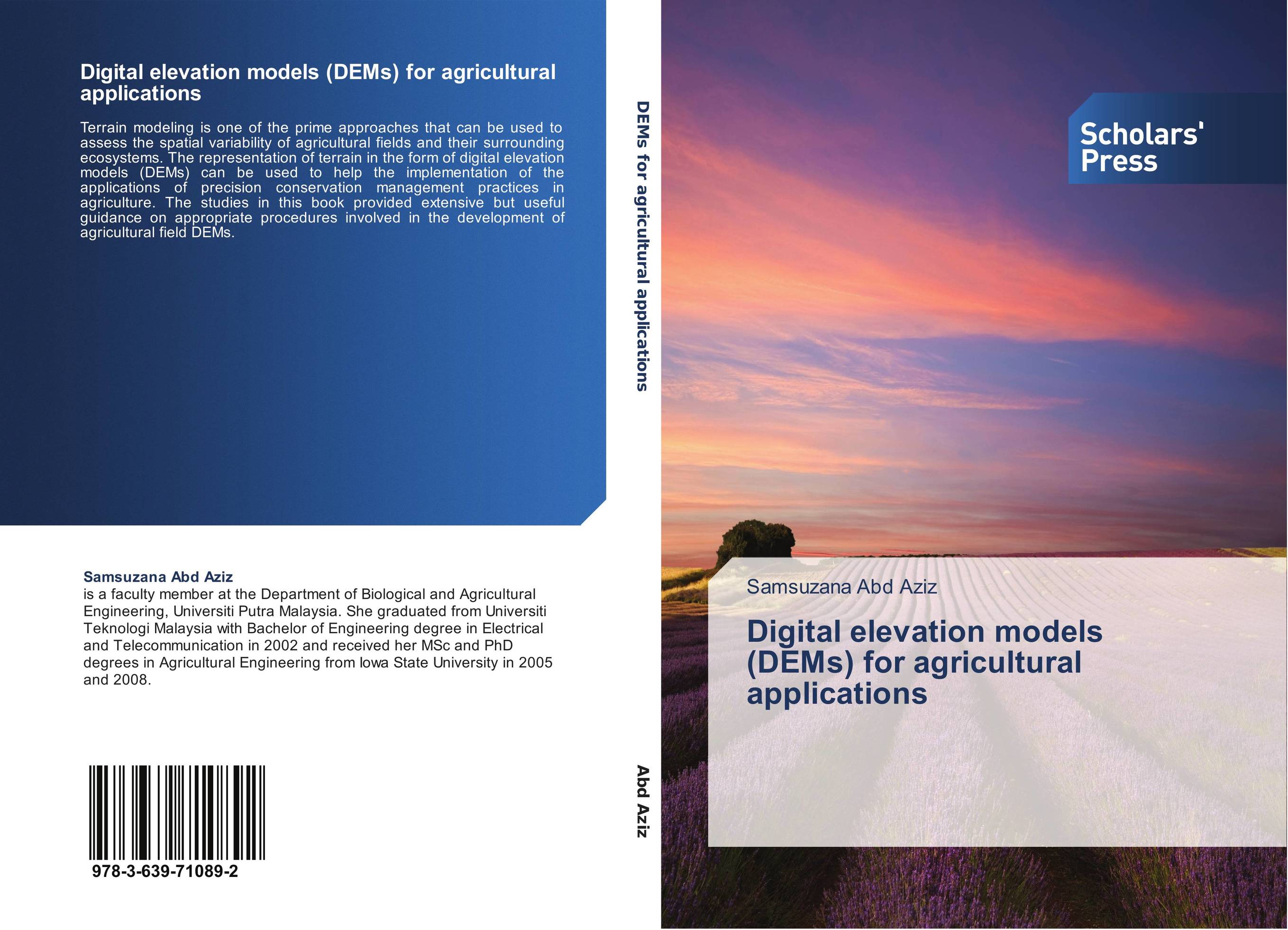
Digital elevation models (DEMs) for agricultural applications.
В наличии
| Местонахождение: Алматы | Состояние экземпляра: новый |

Бумажная
версия
версия
Автор: Samsuzana Abd Aziz
ISBN: 9783639710892
Год издания: 2014
Формат книги: 60×90/16 (145×215 мм)
Количество страниц: 140
Издательство: Scholars' Press
Цена: 39602 тг
Положить в корзину
Позиции в рубрикаторе
Отрасли экономики:Код товара: 132330
| Способы доставки в город Алматы * комплектация (срок до отгрузки) не более 2 рабочих дней |
| Самовывоз из города Алматы (пункты самовывоза партнёра CDEK) |
| Курьерская доставка CDEK из города Москва |
| Доставка Почтой России из города Москва |
Аннотация: Terrain modeling is one of the prime approaches that can be used to assess the spatial variability of agricultural fields and their surrounding ecosystems. The representation of terrain in the form of digital elevation models (DEMs) can be used to help the implementation of the applications of precision conservation management practices in agriculture. The studies in this book provided extensive but useful guidance on appropriate procedures involved in the development of agricultural field DEMs.
Ключевые слова: GPS, Digital Elevation Models, kriging, spatial uncertainties, agricultural conservation
Похожие издания
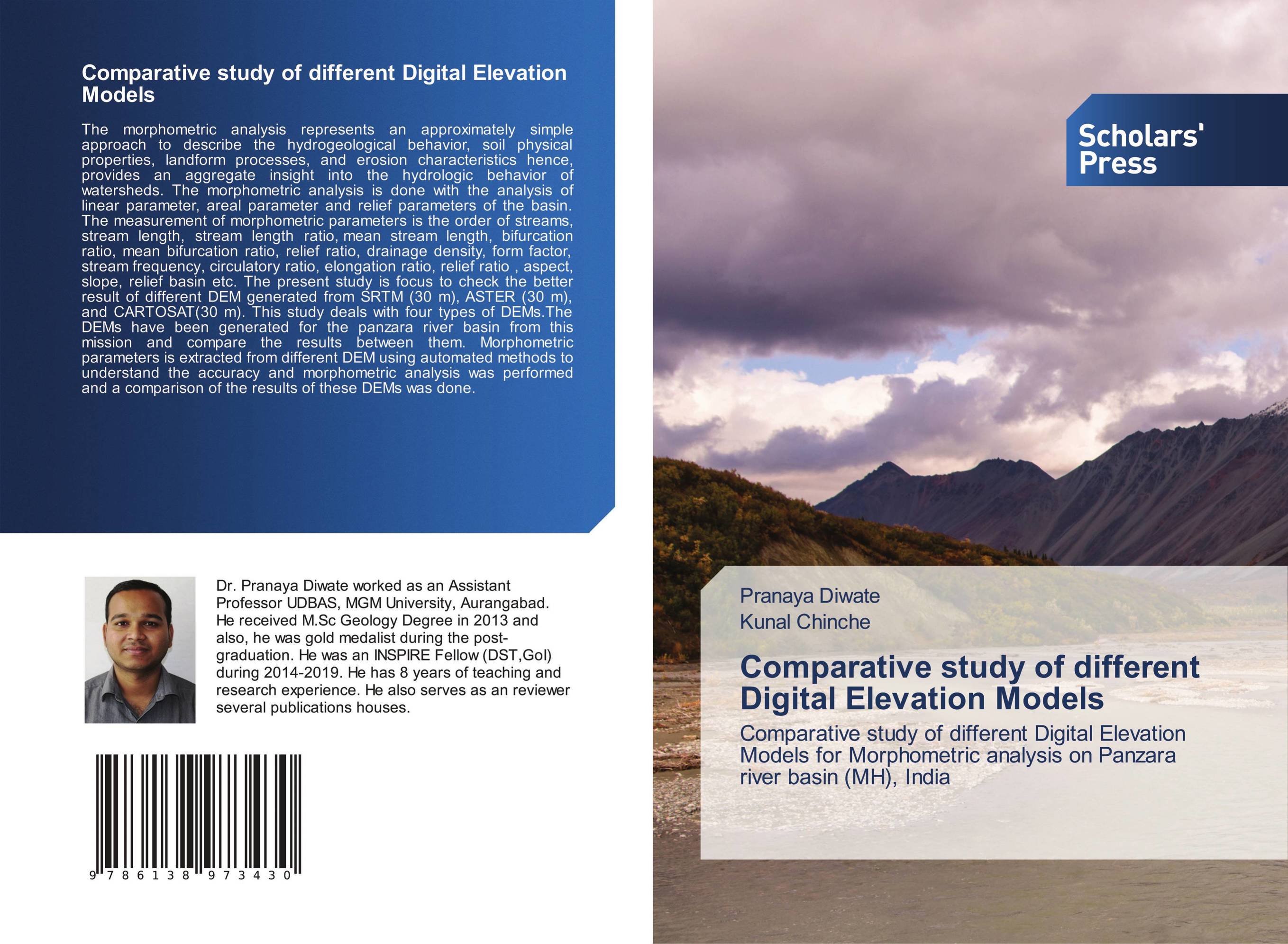 | Отрасли знаний: Науки о Земле -> Геология и геофизика Pranaya Diwate and Kunal Chinche Comparative study of different Digital Elevation Models. Comparative study of different Digital Elevation Models for Morphometric analysis on Panzara river basin (MH), India. 1905 г., 64 стр., мягкий переплет The morphometric analysis represents an approximately simple approach to describe the hydrogeological behavior, soil physical properties, landform processes, and erosion characteristics hence, provides an aggregate insight into the hydrologic behavior of watersheds. The morphometric analysis is done with the analysis of linear parameter, areal... | 28675 тг |
 | Отрасли экономики: Приборостроение -> Производство электронных компонентов Lamyaa Taha Techniques for Generation Digital elevation models. . 2020 г., 76 стр., мягкий переплет Any digital representation of the continuous variation of relief over space surface is known as Digital elevation model. DEM ‘s have been used and are currently in use in a great number of applications such as route engineering, landspacing, military -purpose mapping, remote sensing telecommunications, hydraulic studies, land and geographic... | 23777 тг |
 | Отрасли экономики: Агропромышленный комплекс -> Растениеводство -> Садоводство Elias Awol Mohammed Effectiveness of Digital Elevation Models in the Barotse Floodplain, Zambia:. Effectiveness of digital elevation models. 2018 г., 68 стр., мягкий переплет The extensive Barotse floodplain in western Zambia is among the most flood prone area. This study focused on hydrodynamic flood modeling to simulate flood inundation characteristics that will benefit provision of recession farming, canal management, and land use planning in the Barotse floodplain. For this study the one-dimensional hydrodynamic... | 21556 тг |
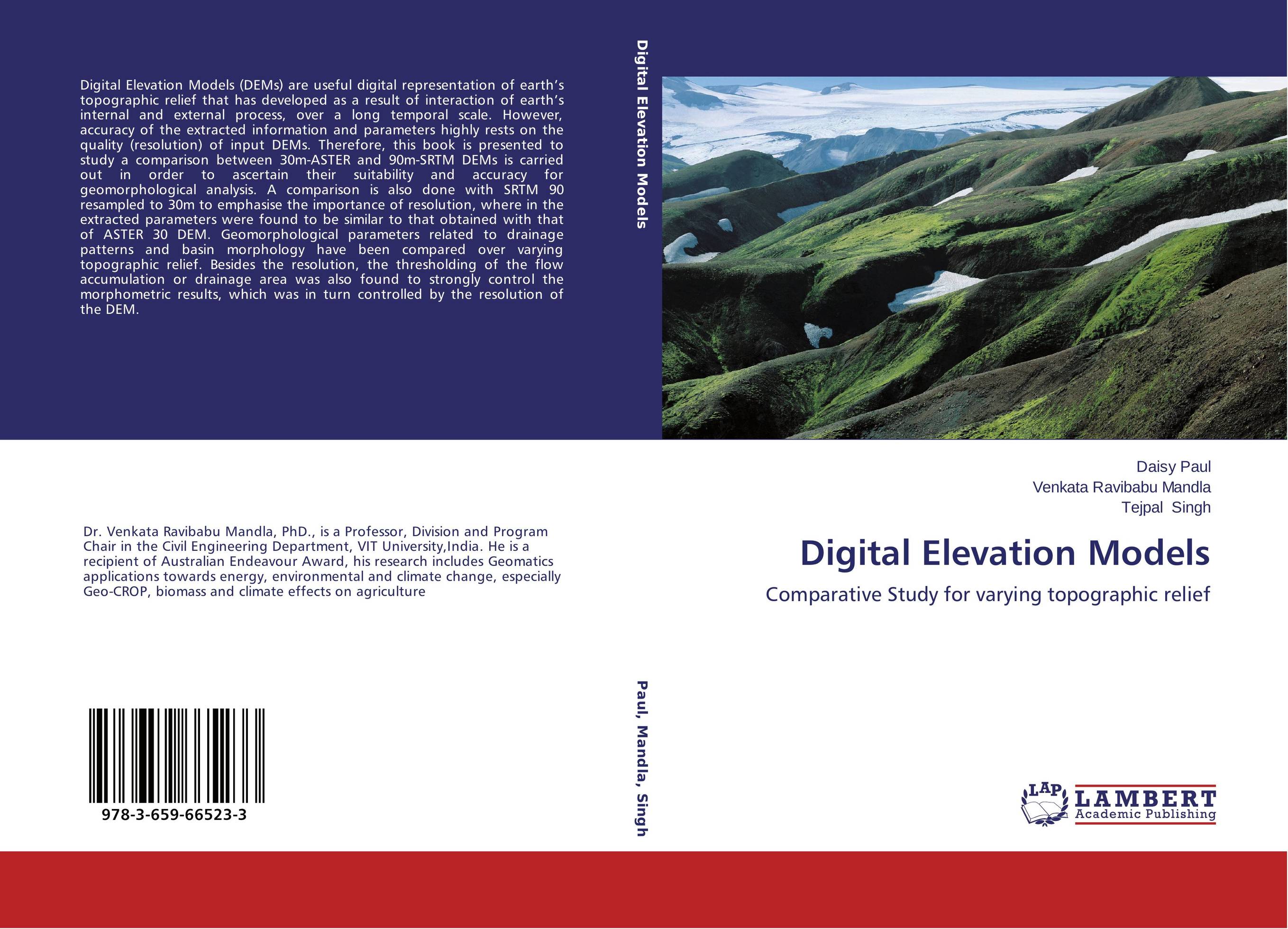 | Отрасли знаний: Науки о Земле Daisy Paul,Venkata Ravibabu Mandla and Tejpal Singh Digital Elevation Models. Comparative Study for varying topographic relief. 2014 г., 148 стр., мягкий переплет Digital Elevation Models (DEMs) are useful digital representation of earth’s topographic relief that has developed as a result of interaction of earth’s internal and external process, over a long temporal scale. However, accuracy of the extracted information and parameters highly rests on the quality (resolution) of input DEMs. Therefore, this... | 24883 тг |