| Поиск по каталогу |
|
(строгое соответствие)
|
- Профессиональная
- Научно-популярная
- Художественная
- Публицистика
- Детская
- Искусство
- Хобби, семья, дом
- Спорт
- Путеводители
- Блокноты, тетради, открытки
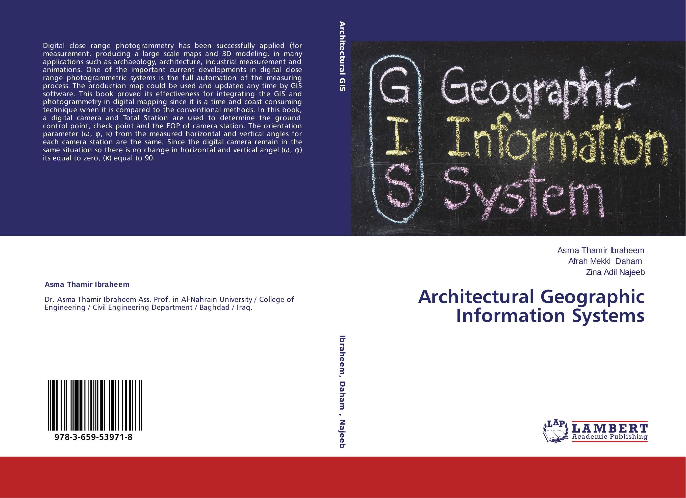
Architectural Geographic Information Systems.

В наличии
| Местонахождение: Алматы | Состояние экземпляра: новый |

Бумажная
версия
версия
Автор: Asma Thamir Ibraheem,Afrah Mekki Daham and Zina Adil Najeeb
ISBN: 9783659539718
Год издания: 2014
Формат книги: 60×90/16 (145×215 мм)
Количество страниц: 120
Издательство: LAP LAMBERT Academic Publishing
Цена: 21952 тг
Положить в корзину
Позиции в рубрикаторе
Отрасли знаний:Код товара: 134363
| Способы доставки в город Алматы * комплектация (срок до отгрузки) не более 2 рабочих дней |
| Самовывоз из города Алматы (пункты самовывоза партнёра CDEK) |
| Курьерская доставка CDEK из города Москва |
| Доставка Почтой России из города Москва |
Аннотация: Digital close range photogrammetry has been successfully applied (for measurement, producing a large scale maps and 3D modeling. in many applications such as archaeology, architecture, industrial measurement and animations. One of the important current developments in digital close range photogrammetric systems is the full automation of the measuring process. The production map could be used and updated any time by GIS software. This book proved its effectiveness for integrating the GIS and photogrammetry in digital mapping since it is a time and coast consuming technique when it is compared to the conventional methods. In this book, a digital camera and Total Station are used to determine the ground control point, check point and the EOP of camera station. The orientation parameter (?, ?, ?) from the measured horizontal and vertical angles for each camera station are the same. Since the digital camera remain in the same situation so there is no change in horizontal and vertical angel (?, ?) its equal to zero, (?) equal to 90.
Ключевые слова: GIS, IT, surveying, Architectural Engineering, Photorammetry, Three Dimensional GIS.


