| Поиск по каталогу |
|
(строгое соответствие)
|
- Профессиональная
- Научно-популярная
- Художественная
- Публицистика
- Детская
- Искусство
- Хобби, семья, дом
- Спорт
- Путеводители
- Блокноты, тетради, открытки
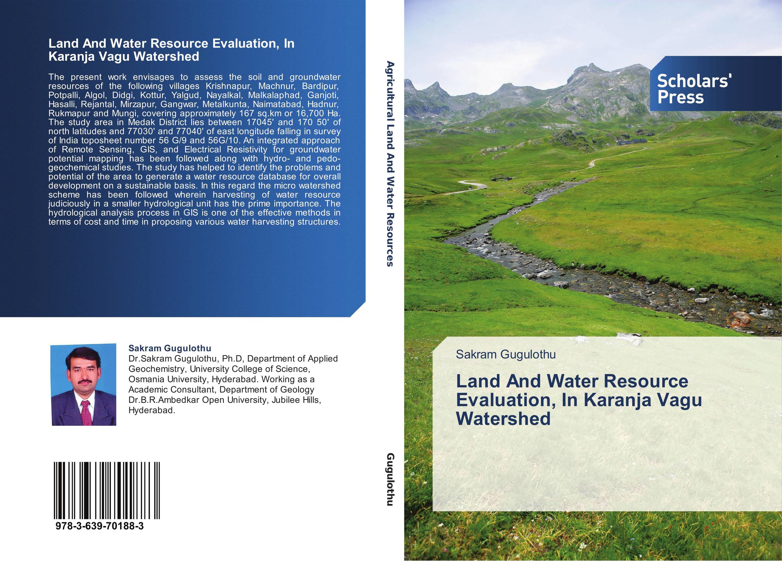
Land And Water Resource Evaluation, In Karanja Vagu Watershed.

В наличии
| Местонахождение: Алматы | Состояние экземпляра: новый |

Бумажная
версия
версия
Автор: Sakram Gugulothu
ISBN: 9783639701883
Год издания: 2014
Формат книги: 60×90/16 (145×215 мм)
Количество страниц: 176
Издательство: Scholars' Press
Цена: 46688 тг
Положить в корзину
| Способы доставки в город Алматы * комплектация (срок до отгрузки) не более 2 рабочих дней |
| Самовывоз из города Алматы (пункты самовывоза партнёра CDEK) |
| Курьерская доставка CDEK из города Москва |
| Доставка Почтой России из города Москва |
Аннотация: The present work envisages to assess the soil and groundwater resources of the following villages Krishnapur, Machnur, Bardipur, Potpalli, Algol, Didgi, Kottur, Yalgud, Nayalkal, Malkalaphad, Ganjoti, Hasalli, Rejantal, Mirzapur, Gangwar, Metalkunta, Naimatabad, Hadnur, Rukmapur and Mungi, covering approximately 167 sq.km or 16,700 Ha. The study area in Medak District lies between 17045' and 170 50' of north latitudes and 77030' and 77040' of east longitude falling in survey of India toposheet number 56 G/9 and 56G/10. An integrated approach of Remote Sensing, GIS, and Electrical Resistivity for groundwater potential mapping has been followed along with hydro- and pedo-geochemical studies. The study has helped to identify the problems and potential of the area to generate a water resource database for overall development on a sustainable basis. In this regard the micro watershed scheme has been followed wherein harvesting of water resource judiciously in a smaller hydrological unit has the prime importance. The hydrological analysis process in GIS is one of the effective methods in terms of cost and time in proposing various water harvesting structures.
Ключевые слова: GIS, Remote sensing, groundwater, Resistivity, Geophysical, Geochemical, Geology and Watershed.
Похожие издания
 | Отрасли знаний: Науки о Земле Surasura Ramanaiah Land and Water Resources of Andhra Pradesh, India. North of Pennar River Basin of Rayalaseema. 2020 г., 232 стр., мягкий переплет The land and the water resources are central to agriculture and rural development, and are intrinsically linked to global challenges of food insecurity and poverty, climate change adaptation and mitigation, as well as degradation and depletion of natural resources that affect the poor quality of life. The Rajampeta area, which is the revenue... | 47226 тг |
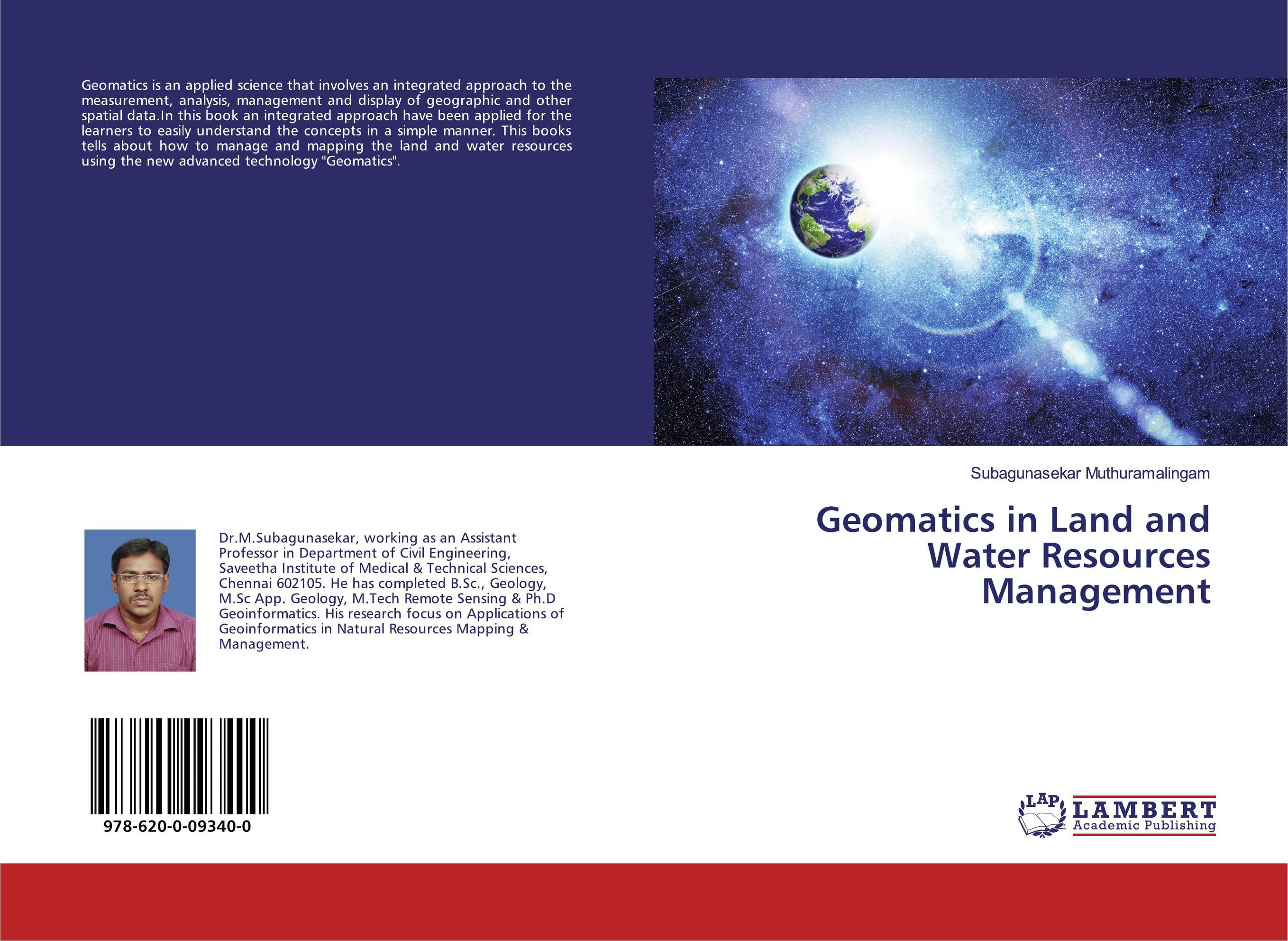
 | Отрасли знаний: Науки о Земле Subagunasekar Muthuramalingam Geomatics in Land and Water Resources Management. . 2019 г., 80 стр., мягкий переплет Geomatics is an applied science that involves an integrated approach to the measurement, analysis, management and display of geographic and other spatial data.In this book an integrated approach have been applied for the learners to easily understand the concepts in a simple manner. This books tells about how to manage and mapping the land and... | 23919 тг |
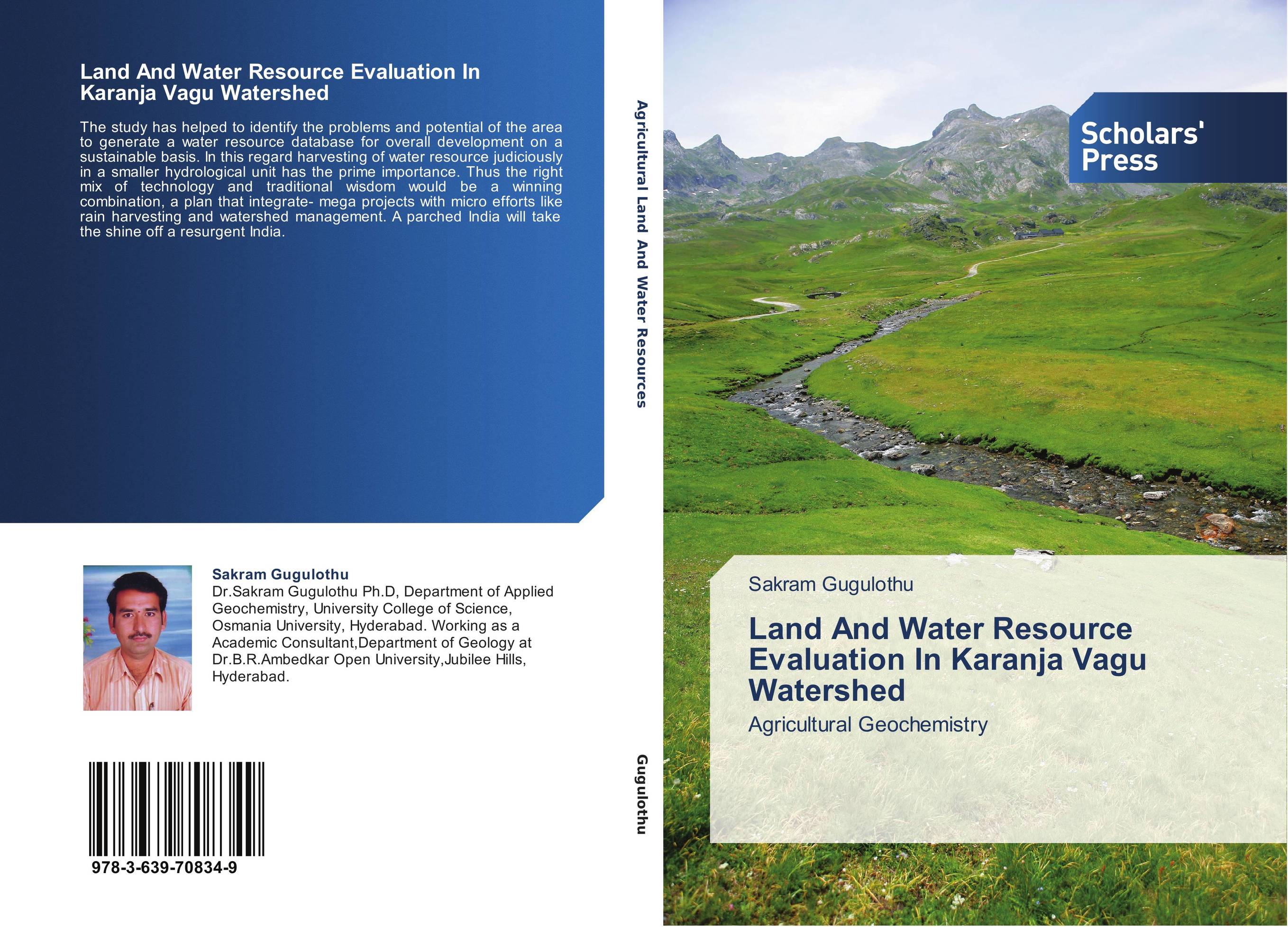
 | Отрасли знаний: Науки о Земле Sakram Gugulothu Land And Water Resource Evaluation In Karanja Vagu Watershed. Agricultural Geochemistry. 2014 г., 156 стр., мягкий переплет The study has helped to identify the problems and potential of the area to generate a water resource database for overall development on a sustainable basis. In this regard harvesting of water resource judiciously in a smaller hydrological unit has the prime importance. Thus the right mix of technology and traditional wisdom would be a winning... | 45978 тг |


