


| Поиск по каталогу |
|
(строгое соответствие)
|
- Профессиональная
- Научно-популярная
- Художественная
- Публицистика
- Детская
- Искусство
- Хобби, семья, дом
- Спорт
- Путеводители
- Блокноты, тетради, открытки
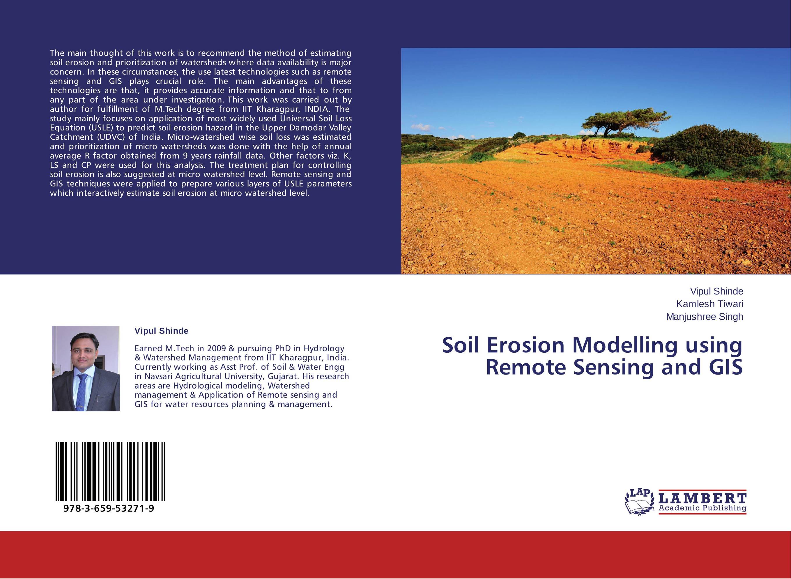
Soil Erosion Modelling using Remote Sensing and GIS.
В наличии
| Местонахождение: Алматы | Состояние экземпляра: новый |

Бумажная
версия
версия
Автор: Vipul Shinde,Kamlesh Tiwari and Manjushree Singh
ISBN: 9783659532719
Год издания: 2014
Формат книги: 60×90/16 (145×215 мм)
Количество страниц: 72
Издательство: LAP LAMBERT Academic Publishing
Цена: 23635 тг
Положить в корзину
Позиции в рубрикаторе
Отрасли экономики:Код товара: 136201
| Способы доставки в город Алматы * комплектация (срок до отгрузки) не более 2 рабочих дней |
| Самовывоз из города Алматы (пункты самовывоза партнёра CDEK) |
| Курьерская доставка CDEK из города Москва |
| Доставка Почтой России из города Москва |
Аннотация: The main thought of this work is to recommend the method of estimating soil erosion and prioritization of watersheds where data availability is major concern. In these circumstances, the use latest technologies such as remote sensing and GIS plays crucial role. The main advantages of these technologies are that, it provides accurate information and that to from any part of the area under investigation. This work was carried out by author for fulfillment of M.Tech degree from IIT Kharagpur, INDIA. The study mainly focuses on application of most widely used Universal Soil Loss Equation (USLE) to predict soil erosion hazard in the Upper Damodar Valley Catchment (UDVC) of India. Micro-watershed wise soil loss was estimated and prioritization of micro watersheds was done with the help of annual average R factor obtained from 9 years rainfall data. Other factors viz. K, LS and CP were used for this analysis. The treatment plan for controlling soil erosion is also suggested at micro watershed level. Remote sensing and GIS techniques were applied to prepare various layers of USLE parameters which interactively estimate soil erosion at micro watershed level.
Ключевые слова: SOIL EROSION, GIS, SOIL EROSION, sediment yield, USLE, ArcView GIS