| Поиск по каталогу |
|
(строгое соответствие)
|
- Профессиональная
- Научно-популярная
- Художественная
- Публицистика
- Детская
- Искусство
- Хобби, семья, дом
- Спорт
- Путеводители
- Блокноты, тетради, открытки
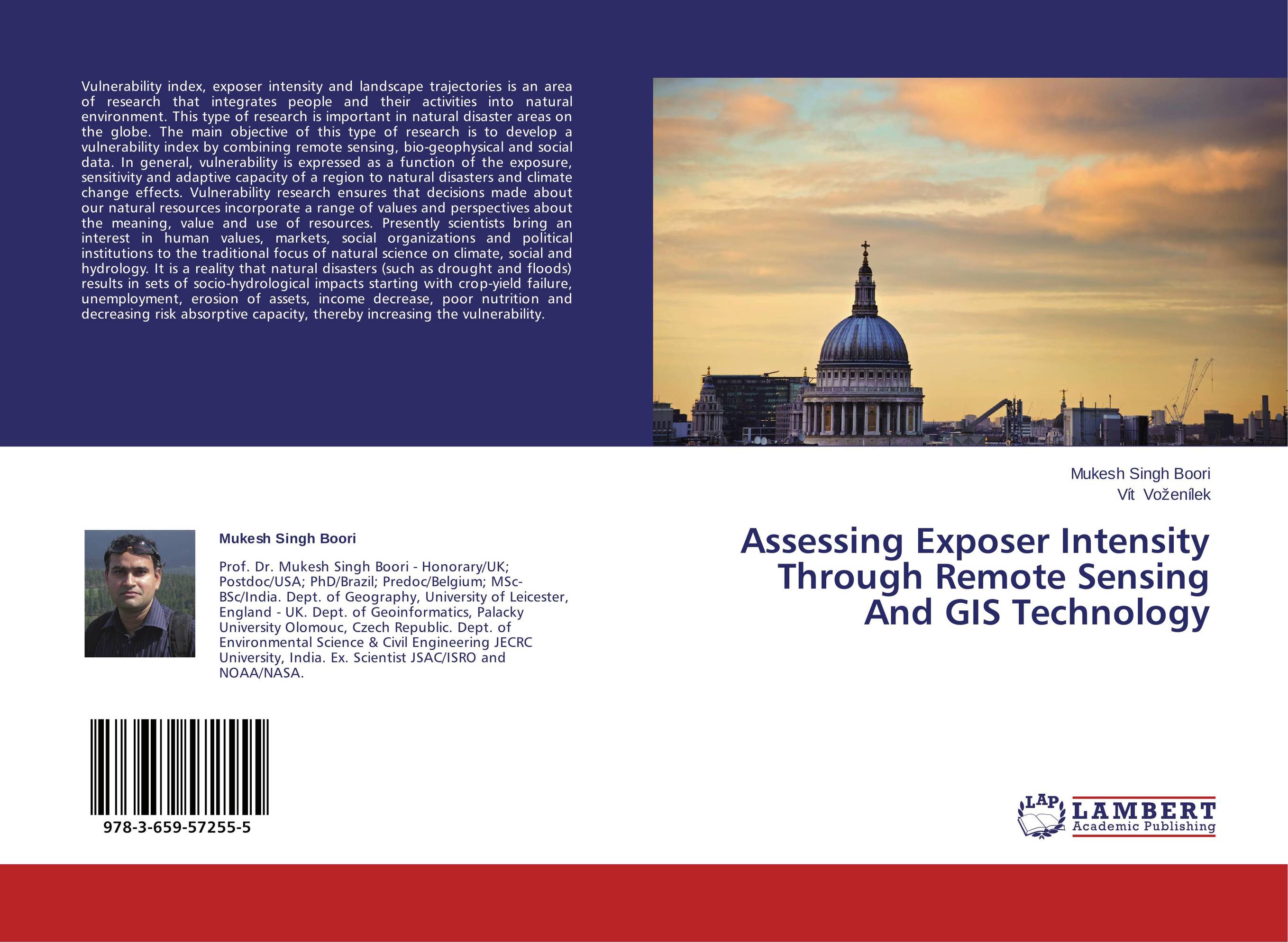
Assessing Exposer Intensity Through Remote Sensing And GIS Technology.

В наличии
| Местонахождение: Алматы | Состояние экземпляра: новый |

Бумажная
версия
версия
Автор: Mukesh Singh Boori and V?t Vo?en?lek
ISBN: 9783659572555
Год издания: 2014
Формат книги: 60×90/16 (145×215 мм)
Количество страниц: 68
Издательство: LAP LAMBERT Academic Publishing
Цена: 25266 тг
Положить в корзину
| Способы доставки в город Алматы * комплектация (срок до отгрузки) не более 2 рабочих дней |
| Самовывоз из города Алматы (пункты самовывоза партнёра CDEK) |
| Курьерская доставка CDEK из города Москва |
| Доставка Почтой России из города Москва |
Аннотация: Vulnerability index, exposer intensity and landscape trajectories is an area of research that integrates people and their activities into natural environment. This type of research is important in natural disaster areas on the globe. The main objective of this type of research is to develop a vulnerability index by combining remote sensing, bio-geophysical and social data. In general, vulnerability is expressed as a function of the exposure, sensitivity and adaptive capacity of a region to natural disasters and climate change effects. Vulnerability research ensures that decisions made about our natural resources incorporate a range of values and perspectives about the meaning, value and use of resources. Presently scientists bring an interest in human values, markets, social organizations and political institutions to the traditional focus of natural science on climate, social and hydrology. It is a reality that natural disasters (such as drought and floods) results in sets of socio-hydrological impacts starting with crop-yield failure, unemployment, erosion of assets, income decrease, poor nutrition and decreasing risk absorptive capacity, thereby increasing the vulnerability.
Ключевые слова: Climate change, Ecosystem, hydrology, earth observation, Management of Natural Resources, Climate change, biodiversity, agriculture, Ecology, Environmental Impact Assessment, Ecosystem, Digital Image Processing, Remote Sensing & GIS, hydrology, earth observation, Vulnerability & Risk Assessment, Thermal & Microwave remote sensing, Land Use/Cover Change Trajectories, Geoscience/Geo-informatics, Bio-Geography, Management of Natural Resources, Land Resources Management, Sustainable Development & Disaster Management, Remote Sensing Applications in: Forest, Urban & Desert Study


