| Поиск по каталогу |
|
(строгое соответствие)
|
- Профессиональная
- Научно-популярная
- Художественная
- Публицистика
- Детская
- Искусство
- Хобби, семья, дом
- Спорт
- Путеводители
- Блокноты, тетради, открытки
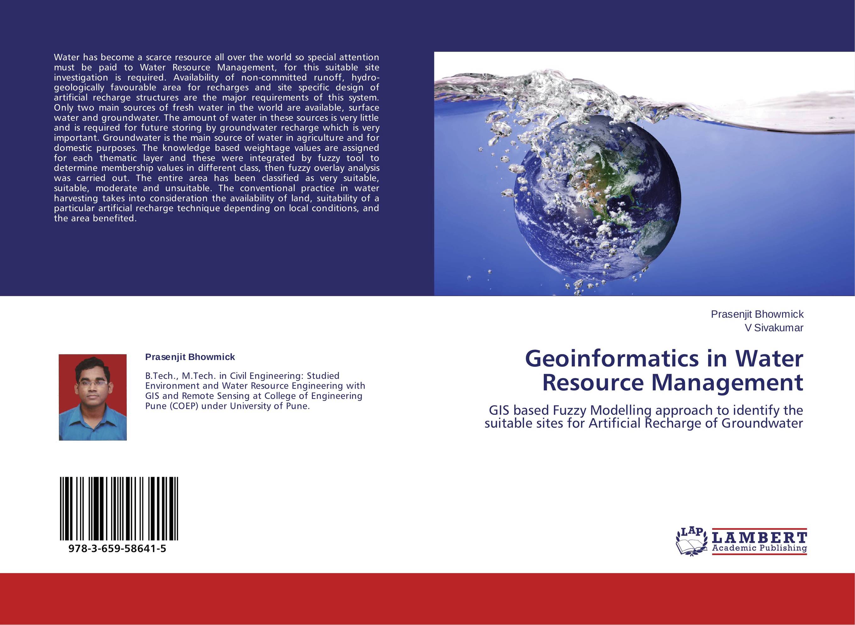
Geoinformatics in Water Resource Management. GIS based Fuzzy Modelling approach to identify the suitable sites for Artificial Recharge of Groundwater

В наличии
| Местонахождение: Алматы | Состояние экземпляра: новый |

Бумажная
версия
версия
Автор: Prasenjit Bhowmick and V Sivakumar
ISBN: 9783659586415
Год издания: 2014
Формат книги: 60×90/16 (145×215 мм)
Количество страниц: 80
Издательство: LAP LAMBERT Academic Publishing
Цена: 23919 тг
Положить в корзину
Позиции в рубрикаторе
Сферы деятельности:Код товара: 138037
| Способы доставки в город Алматы * комплектация (срок до отгрузки) не более 2 рабочих дней |
| Самовывоз из города Алматы (пункты самовывоза партнёра CDEK) |
| Курьерская доставка CDEK из города Москва |
| Доставка Почтой России из города Москва |
Аннотация: Water has become a scarce resource all over the world so special attention must be paid to Water Resource Management, for this suitable site investigation is required. Availability of non-committed runoff, hydro-geologically favourable area for recharges and site specific design of artificial recharge structures are the major requirements of this system. Only two main sources of fresh water in the world are available, surface water and groundwater. The amount of water in these sources is very little and is required for future storing by groundwater recharge which is very important. Groundwater is the main source of water in agriculture and for domestic purposes. The knowledge based weightage values are assigned for each thematic layer and these were integrated by fuzzy tool to determine membership values in different class, then fuzzy overlay analysis was carried out. The entire area has been classified as very suitable, suitable, moderate and unsuitable. The conventional practice in water harvesting takes into consideration the availability of land, suitability of a particular artificial recharge technique depending on local conditions, and the area benefited.
Ключевые слова: Fuzzy logic, GIS, Groundwater, Remote Sensing., Artificial Recharge


