| Поиск по каталогу |
|
(строгое соответствие)
|
- Профессиональная
- Научно-популярная
- Художественная
- Публицистика
- Детская
- Искусство
- Хобби, семья, дом
- Спорт
- Путеводители
- Блокноты, тетради, открытки
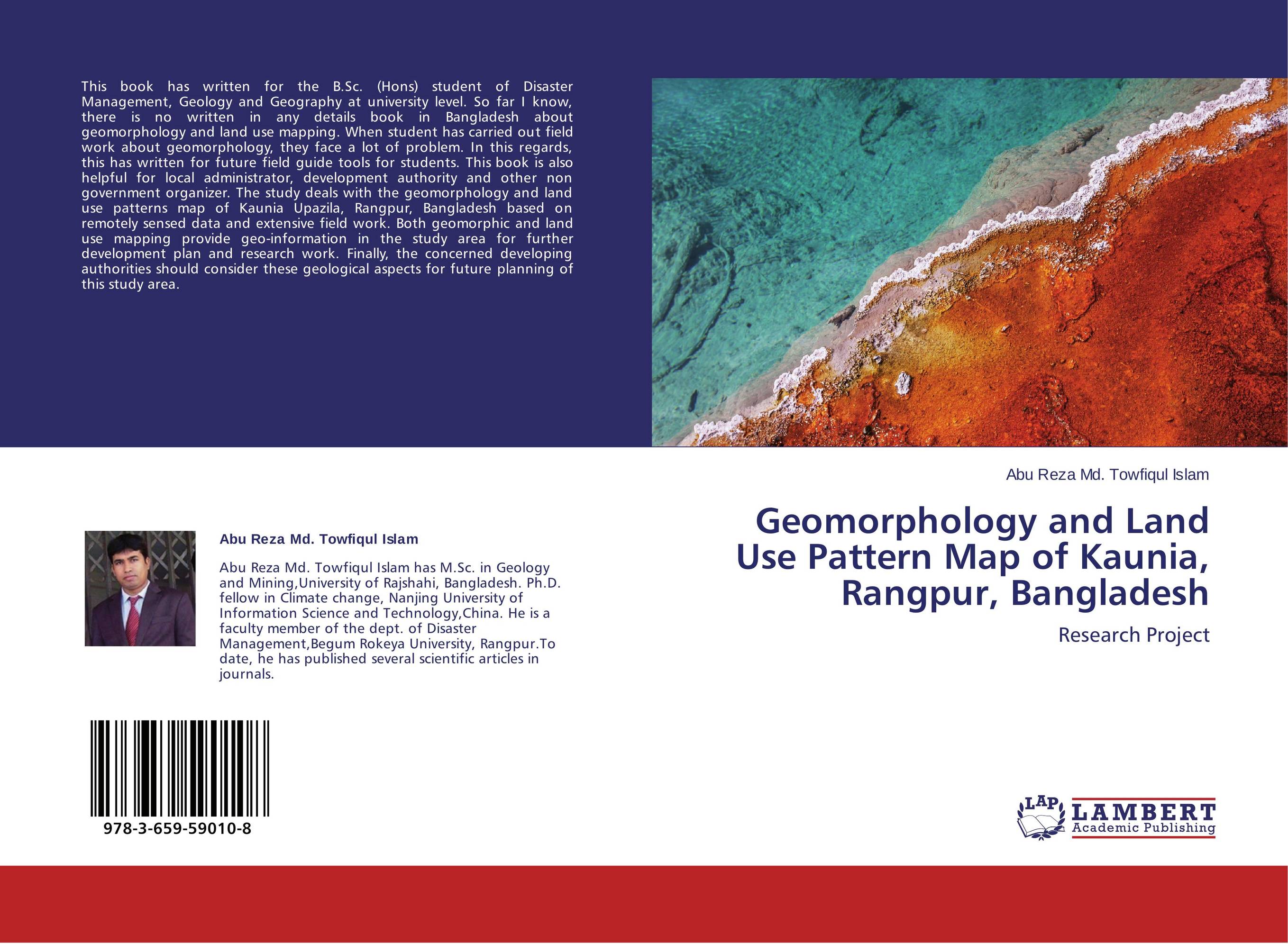
Geomorphology and Land Use Pattern Map of Kaunia, Rangpur, Bangladesh. Research Project

В наличии
| Местонахождение: Алматы | Состояние экземпляра: новый |

Бумажная
версия
версия
Автор: Abu Reza Md. Towfiqul Islam
ISBN: 9783659590108
Год издания: 2014
Формат книги: 60×90/16 (145×215 мм)
Количество страниц: 60
Издательство: LAP LAMBERT Academic Publishing
Цена: 21272 тг
Положить в корзину
| Способы доставки в город Алматы * комплектация (срок до отгрузки) не более 2 рабочих дней |
| Самовывоз из города Алматы (пункты самовывоза партнёра CDEK) |
| Курьерская доставка CDEK из города Москва |
| Доставка Почтой России из города Москва |
Аннотация: This book has written for the B.Sc. (Hons) student of Disaster Management, Geology and Geography at university level. So far I know, there is no written in any details book in Bangladesh about geomorphology and land use mapping. When student has carried out field work about geomorphology, they face a lot of problem. In this regards, this has written for future field guide tools for students. This book is also helpful for local administrator, development authority and other non government organizer. The study deals with the geomorphology and land use patterns map of Kaunia Upazila, Rangpur, Bangladesh based on remotely sensed data and extensive field work. Both geomorphic and land use mapping provide geo-information in the study area for further development plan and research work. Finally, the concerned developing authorities should consider these geological aspects for future planning of this study area.
Ключевые слова: geomorphology, Landsat, Anthropogenic Activities, geo-information, Spot, Land use map


