| Поиск по каталогу |
|
(строгое соответствие)
|
- Профессиональная
- Научно-популярная
- Художественная
- Публицистика
- Детская
- Искусство
- Хобби, семья, дом
- Спорт
- Путеводители
- Блокноты, тетради, открытки
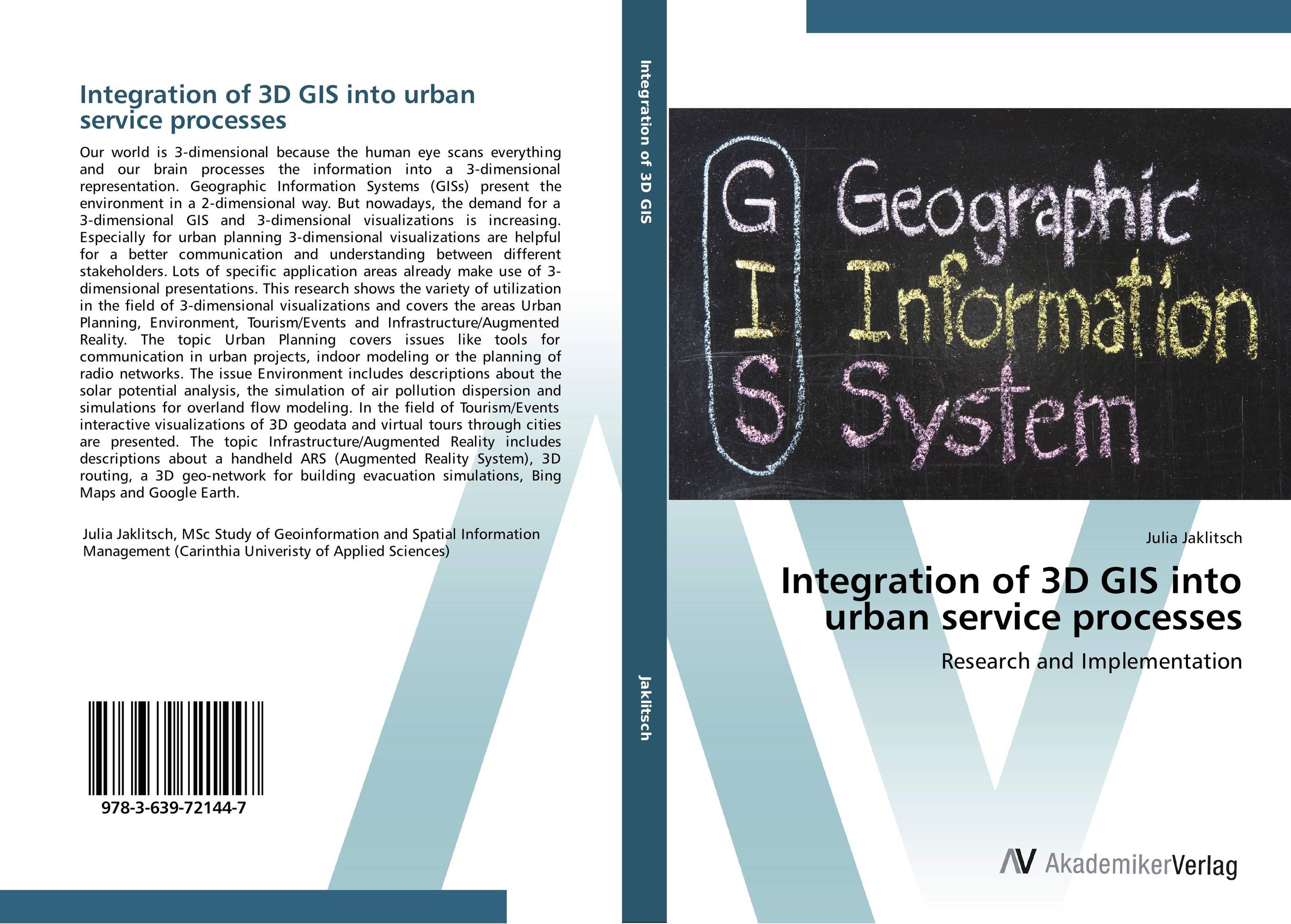
Integration of 3D GIS into urban service processes. Research and Implementation

В наличии
| Местонахождение: Алматы | Состояние экземпляра: новый |

Бумажная
версия
версия
Автор: Julia Jaklitsch
ISBN: 9783639721447
Год издания: 2014
Формат книги: 60×90/16 (145×215 мм)
Количество страниц: 188
Издательство: AV Akademikerverlag
Цена: 43243 тг
Положить в корзину
Позиции в рубрикаторе
Отрасли знаний:Код товара: 141015
| Способы доставки в город Алматы * комплектация (срок до отгрузки) не более 2 рабочих дней |
| Самовывоз из города Алматы (пункты самовывоза партнёра CDEK) |
| Курьерская доставка CDEK из города Москва |
| Доставка Почтой России из города Москва |
Аннотация: Our world is 3-dimensional because the human eye scans everything and our brain processes the information into a 3-dimensional representation. Geographic Information Systems (GISs) present the environment in a 2-dimensional way. But nowadays, the demand for a 3-dimensional GIS and 3-dimensional visualizations is increasing. Especially for urban planning 3-dimensional visualizations are helpful for a better communication and understanding between different stakeholders. Lots of specific application areas already make use of 3-dimensional presentations. This research shows the variety of utilization in the field of 3-dimensional visualizations and covers the areas Urban Planning, Environment, Tourism/Events and Infrastructure/Augmented Reality. The topic Urban Planning covers issues like tools for communication in urban projects, indoor modeling or the planning of radio networks. The issue Environment includes descriptions about the solar potential analysis, the simulation of air pollution dispersion and simulations for overland flow modeling. In the field of Tourism/Events interactive visualizations of 3D geodata and virtual tours through cities are presented. The topic Infrastructure/Augmented Reality includes descriptions about a handheld ARS (Augmented Reality System), 3D routing, a 3D geo-network for building evacuation simulations, Bing Maps and Google Earth.
Ключевые слова: Geoinformation, 3D GIS, urban service processes


