| Поиск по каталогу |
|
(строгое соответствие)
|
- Профессиональная
- Научно-популярная
- Художественная
- Публицистика
- Детская
- Искусство
- Хобби, семья, дом
- Спорт
- Путеводители
- Блокноты, тетради, открытки
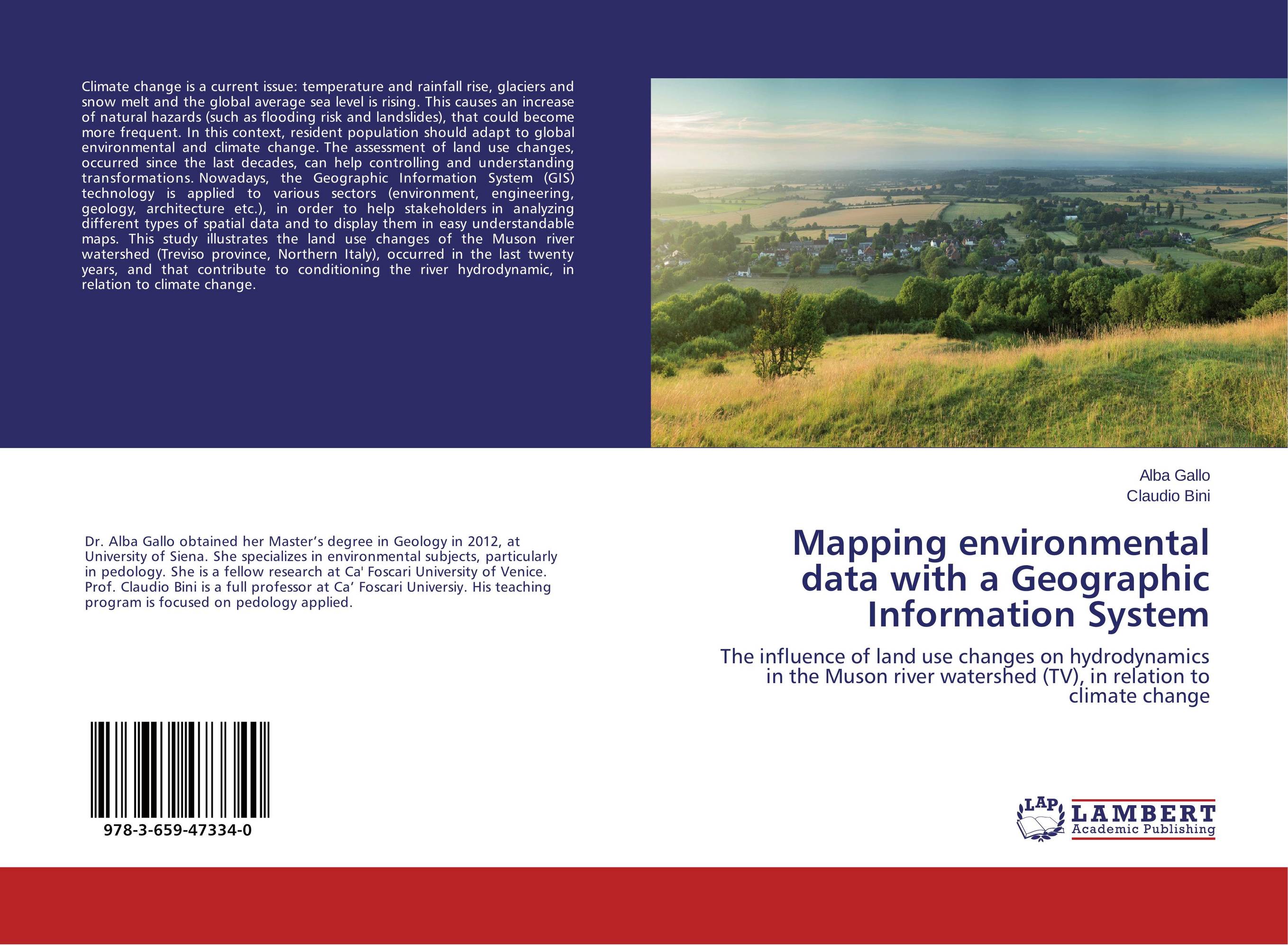
Mapping environmental data with a Geographic Information System. The influence of land use changes on hydrodynamics in the Muson river watershed (TV), in relation to climate change

В наличии
| Местонахождение: Алматы | Состояние экземпляра: новый |

Бумажная
версия
версия
Автор: Alba Gallo and Claudio Bini
ISBN: 9783659473340
Год издания: 2015
Формат книги: 60×90/16 (145×215 мм)
Количество страниц: 52
Издательство: LAP LAMBERT Academic Publishing
Цена: 22584 тг
Положить в корзину
| Способы доставки в город Алматы * комплектация (срок до отгрузки) не более 2 рабочих дней |
| Самовывоз из города Алматы (пункты самовывоза партнёра CDEK) |
| Курьерская доставка CDEK из города Москва |
| Доставка Почтой России из города Москва |
Аннотация: Climate change is a current issue: temperature and rainfall rise, glaciers and snow melt and the global average sea level is rising. This causes an increase of natural hazards (such as flooding risk and landslides), that could become more frequent. In this context, resident population should adapt to global environmental and climate change. The assessment of land use changes, occurred since the last decades, can help controlling and understanding transformations. Nowadays, the Geographic Information System (GIS) technology is applied to various sectors (environment, engineering, geology, architecture etc.), in order to help stakeholders in analyzing different types of spatial data and to display them in easy understandable maps. This study illustrates the land use changes of the Muson river watershed (Treviso province, Northern Italy), occurred in the last twenty years, and that contribute to conditioning the river hydrodynamic, in relation to climate change.
Ключевые слова: climate change, Land use, Muson river watershed, river hydrodynamics, GIS technology


