| Поиск по каталогу |
|
(строгое соответствие)
|
- Профессиональная
- Научно-популярная
- Художественная
- Публицистика
- Детская
- Искусство
- Хобби, семья, дом
- Спорт
- Путеводители
- Блокноты, тетради, открытки
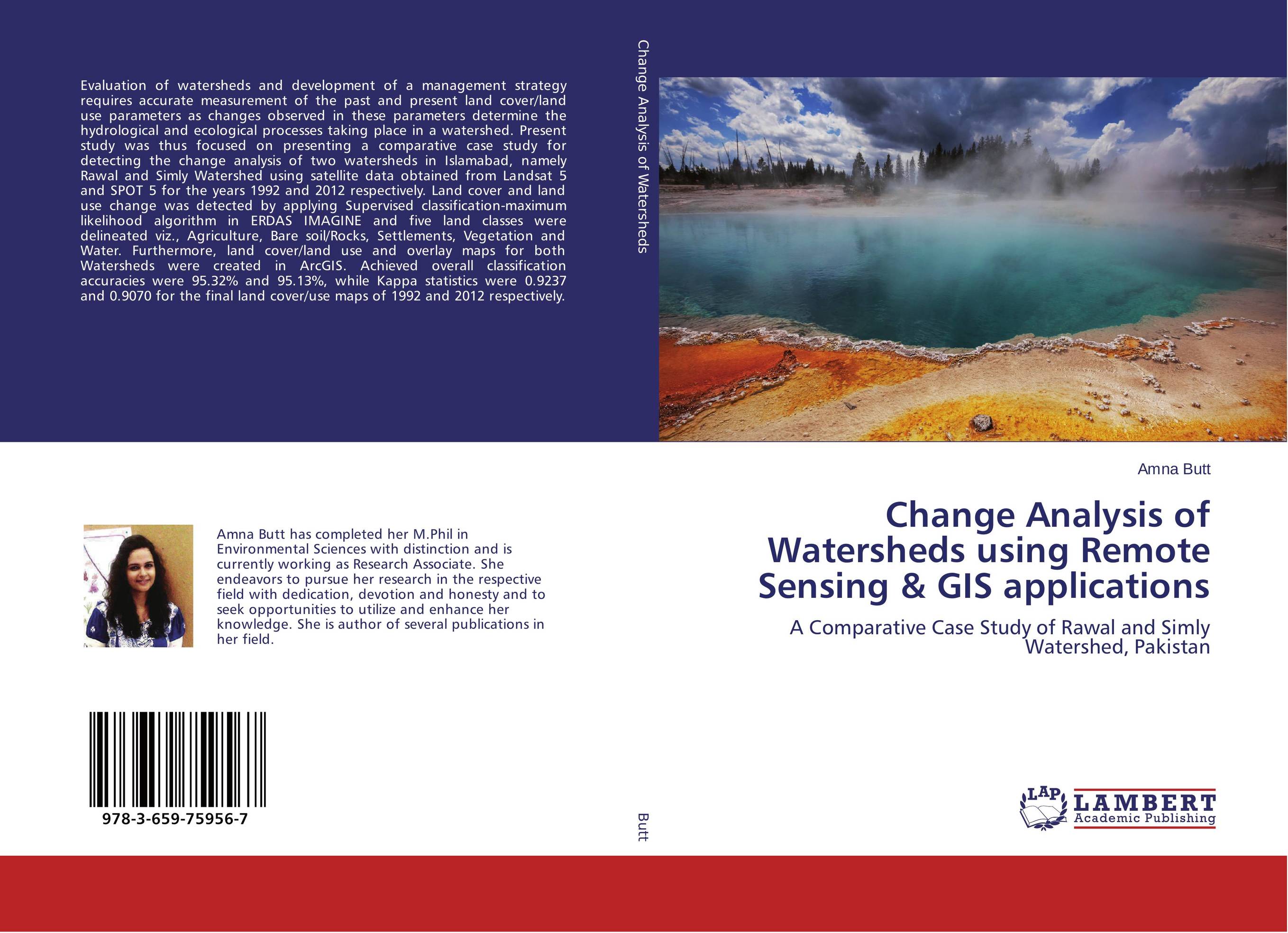
Change Analysis of Watersheds using Remote Sensing & GIS applications. A Comparative Case Study of Rawal and Simly Watershed, Pakistan

В наличии
| Местонахождение: Алматы | Состояние экземпляра: новый |

Бумажная
версия
версия
Автор: Amna Butt
ISBN: 9783659759567
Год издания: 2015
Формат книги: 60×90/16 (145×215 мм)
Количество страниц: 124
Издательство: LAP LAMBERT Academic Publishing
Цена: 35181 тг
Положить в корзину
| Способы доставки в город Алматы * комплектация (срок до отгрузки) не более 2 рабочих дней |
| Самовывоз из города Алматы (пункты самовывоза партнёра CDEK) |
| Курьерская доставка CDEK из города Москва |
| Доставка Почтой России из города Москва |
Аннотация: Evaluation of watersheds and development of a management strategy requires accurate measurement of the past and present land cover/land use parameters as changes observed in these parameters determine the hydrological and ecological processes taking place in a watershed. Present study was thus focused on presenting a comparative case study for detecting the change analysis of two watersheds in Islamabad, namely Rawal and Simly Watershed using satellite data obtained from Landsat 5 and SPOT 5 for the years 1992 and 2012 respectively. Land cover and land use change was detected by applying Supervised classification-maximum likelihood algorithm in ERDAS IMAGINE and five land classes were delineated viz., Agriculture, Bare soil/Rocks, Settlements, Vegetation and Water. Furthermore, land cover/land use and overlay maps for both Watersheds were created in ArcGIS. Achieved overall classification accuracies were 95.32% and 95.13%, while Kappa statistics were 0.9237 and 0.9070 for the final land cover/use maps of 1992 and 2012 respectively.
Ключевые слова: GIS, land use change, Remote sensing, supervised classification, watersheds


