| Поиск по каталогу |
|
(строгое соответствие)
|
- Профессиональная
- Научно-популярная
- Художественная
- Публицистика
- Детская
- Искусство
- Хобби, семья, дом
- Спорт
- Путеводители
- Блокноты, тетради, открытки
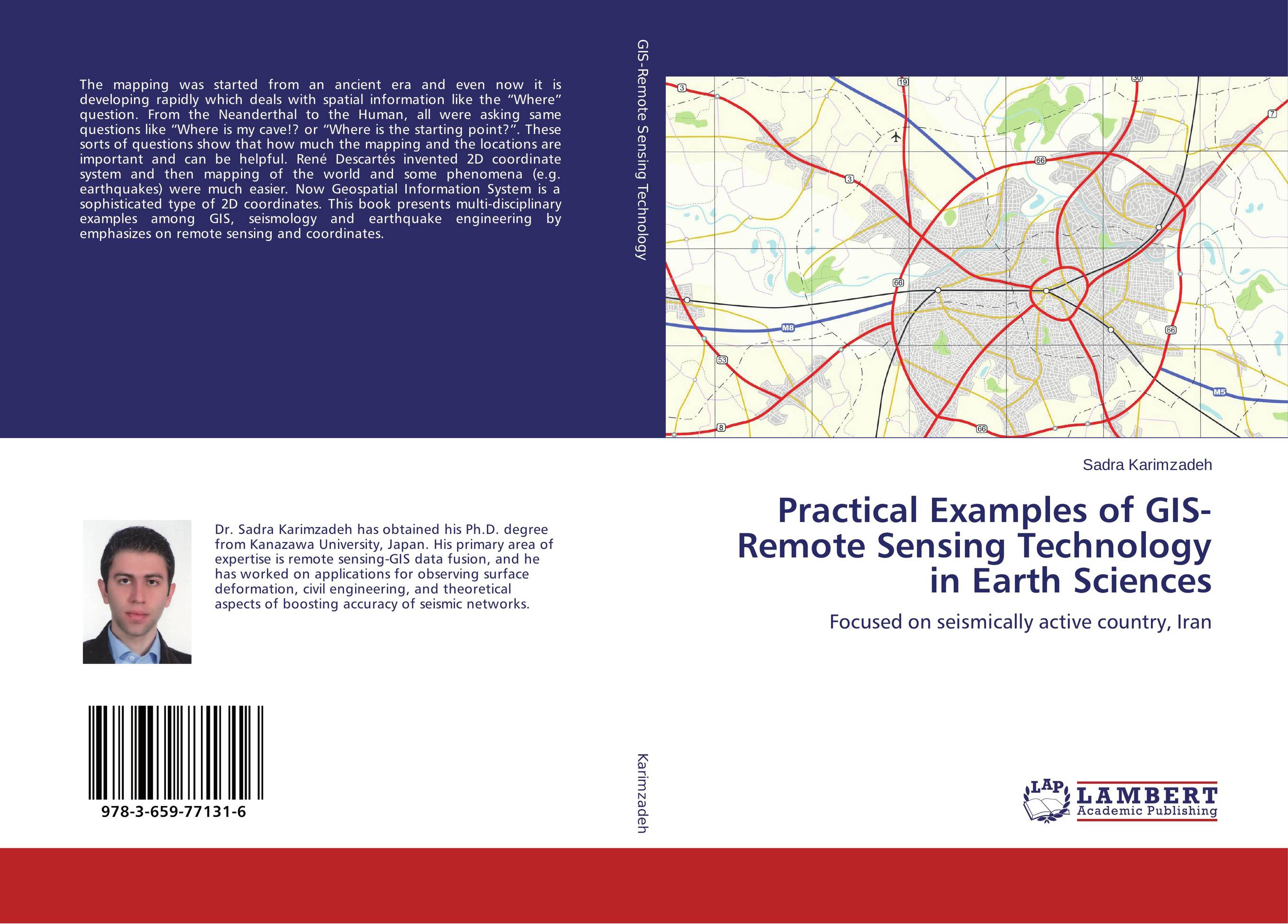
Practical Examples of GIS-Remote Sensing Technology in Earth Sciences. Focused on seismically active country, Iran

В наличии
| Местонахождение: Алматы | Состояние экземпляра: новый |

Бумажная
версия
версия
Автор: Sadra Karimzadeh
ISBN: 9783659771316
Год издания: 2015
Формат книги: 60×90/16 (145×215 мм)
Количество страниц: 176
Издательство: LAP LAMBERT Academic Publishing
Цена: 46011 тг
Положить в корзину
| Способы доставки в город Алматы * комплектация (срок до отгрузки) не более 2 рабочих дней |
| Самовывоз из города Алматы (пункты самовывоза партнёра CDEK) |
| Курьерская доставка CDEK из города Москва |
| Доставка Почтой России из города Москва |
Аннотация: The mapping was started from an ancient era and even now it is developing rapidly which deals with spatial information like the “Where” question. From the Neanderthal to the Human, all were asking same questions like “Where is my cave!? or “Where is the starting point?”. These sorts of questions show that how much the mapping and the locations are important and can be helpful. Ren? Descart?s invented 2D coordinate system and then mapping of the world and some phenomena (e.g. earthquakes) were much easier. Now Geospatial Information System is a sophisticated type of 2D coordinates. This book presents multi-disciplinary examples among GIS, seismology and earthquake engineering by emphasizes on remote sensing and coordinates.
Ключевые слова: Damage Assessment, Earthquake Engineering, GIS, Iran, Remote sensing, Seismology


