| Поиск по каталогу |
|
(строгое соответствие)
|
- Профессиональная
- Научно-популярная
- Художественная
- Публицистика
- Детская
- Искусство
- Хобби, семья, дом
- Спорт
- Путеводители
- Блокноты, тетради, открытки
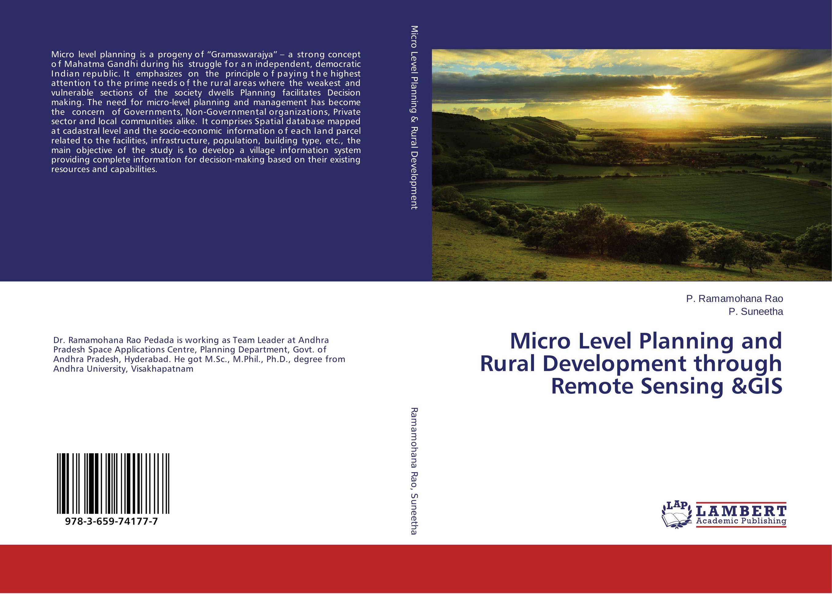
Micro Level Planning and Rural Development through Remote Sensing &GIS.

В наличии
| Местонахождение: Алматы | Состояние экземпляра: новый |

Бумажная
версия
версия
Автор: P. Ramamohana Rao and P. Suneetha
ISBN: 9783659741777
Год издания: 2015
Формат книги: 60×90/16 (145×215 мм)
Количество страниц: 200
Издательство: LAP LAMBERT Academic Publishing
Цена: 43670 тг
Положить в корзину
| Способы доставки в город Алматы * комплектация (срок до отгрузки) не более 2 рабочих дней |
| Самовывоз из города Алматы (пункты самовывоза партнёра CDEK) |
| Курьерская доставка CDEK из города Москва |
| Доставка Почтой России из города Москва |
Аннотация: Micro level planning is a progeny of “Gramaswarajya” – a strong concept of Mahatma Gandhi during his struggle for an independent, democratic Indian republic. It emphasizes on the principle of paying the highest attention to the prime needs of the rural areas where the weakest and vulnerable sections of the society dwells Planning facilitates Decision making. The need for micro-level planning and management has become the concern of Governments, Non-Governmental organizations, Private sector and local communities alike. It comprises Spatial database mapped at cadastral level and the socio-economic information of each land parcel related to the facilities, infrastructure, population, building type, etc., the main objective of the study is to develop a village information system providing complete information for decision-making based on their existing resources and capabilities.
Ключевые слова: Micro level planning, Remote Sensing and GIS, Village Information System


