


| Поиск по каталогу |
|
(строгое соответствие)
|
- Профессиональная
- Научно-популярная
- Художественная
- Публицистика
- Детская
- Искусство
- Хобби, семья, дом
- Спорт
- Путеводители
- Блокноты, тетради, открытки
Defining public open space - not a walk in the park.
В наличии
| Местонахождение: Алматы | Состояние экземпляра: новый |

Бумажная
версия
версия
Автор: Mark Daker
ISBN: 9783659776670
Год издания: 2015
Формат книги: 60×90/16 (145×215 мм)
Количество страниц: 136
Издательство: LAP LAMBERT Academic Publishing
Цена: 36556 тг
Положить в корзину
| Способы доставки в город Алматы * комплектация (срок до отгрузки) не более 2 рабочих дней |
| Самовывоз из города Алматы (пункты самовывоза партнёра CDEK) |
| Курьерская доставка CDEK из города Москва |
| Доставка Почтой России из города Москва |
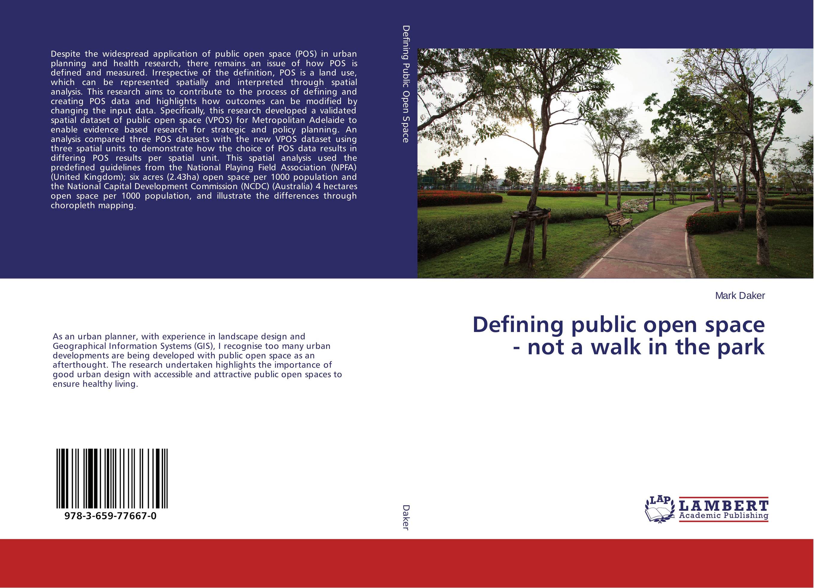
Аннотация: Despite the widespread application of public open space (POS) in urban planning and health research, there remains an issue of how POS is defined and measured. Irrespective of the definition, POS is a land use, which can be represented spatially and interpreted through spatial analysis. This research aims to contribute to the process of defining and creating POS data and highlights how outcomes can be modified by changing the input data. Specifically, this research developed a validated spatial dataset of public open space (VPOS) for Metropolitan Adelaide to enable evidence based research for strategic and policy planning. An analysis compared three POS datasets with the new VPOS dataset using three spatial units to demonstrate how the choice of POS data results in differing POS results per spatial unit. This spatial analysis used the predefined guidelines from the National Playing Field Association (NPFA) (United Kingdom); six acres (2.43ha) open space per 1000 population and the National Capital Development Commission (NCDC) (Australia) 4 hectares open space per 1000 population, and illustrate the differences through choropleth mapping.
Ключевые слова: Built Environment, Public open space, Strategic Planning, GIS, Population health research, Modifiable areal unit problem (MAUP)