| Поиск по каталогу |
|
(строгое соответствие)
|
- Профессиональная
- Научно-популярная
- Художественная
- Публицистика
- Детская
- Искусство
- Хобби, семья, дом
- Спорт
- Путеводители
- Блокноты, тетради, открытки
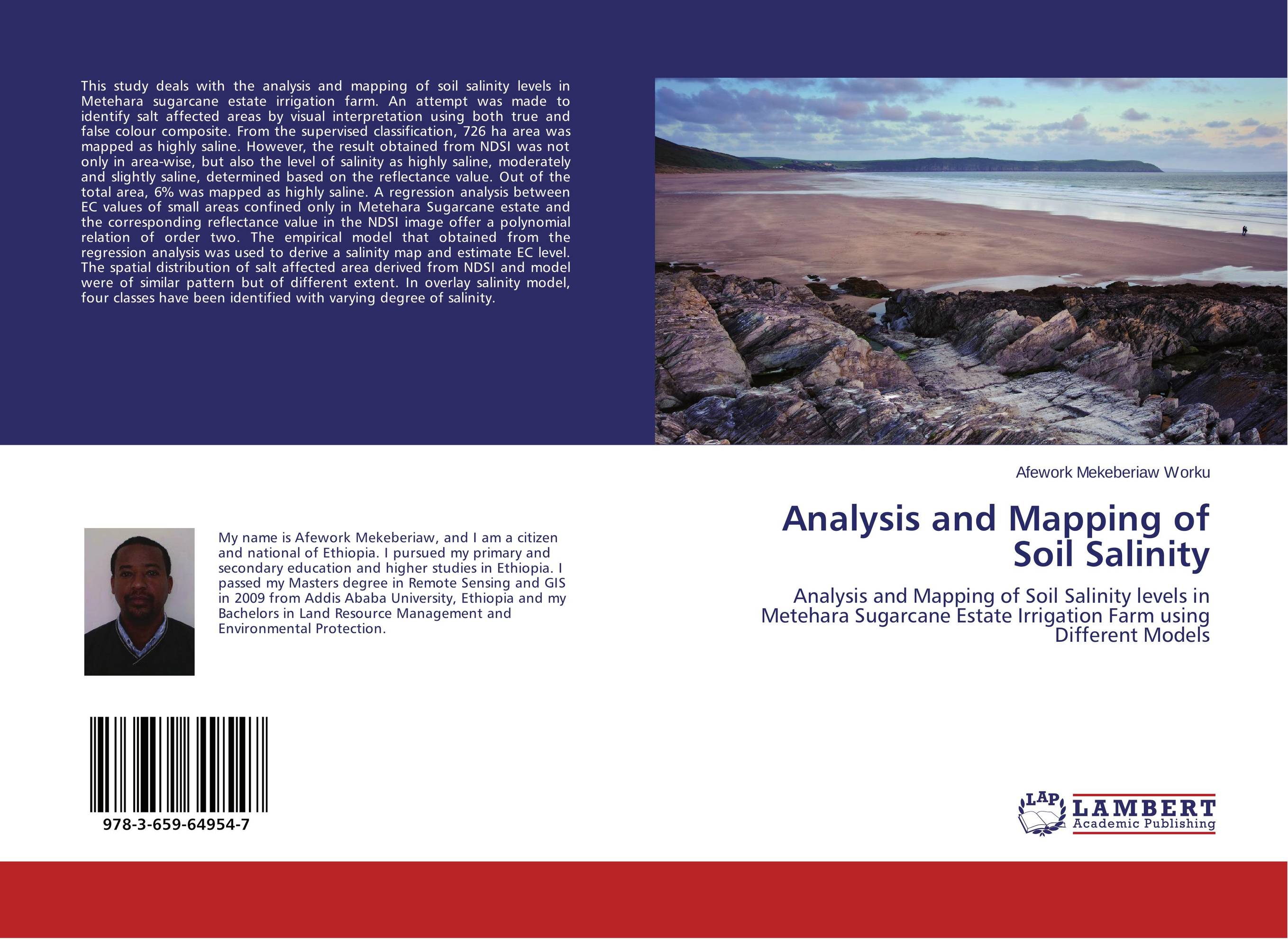
Analysis and Mapping of Soil Salinity. Analysis and Mapping of Soil Salinity levels in Metehara Sugarcane Estate Irrigation Farm using Different Models

В наличии
| Местонахождение: Алматы | Состояние экземпляра: новый |

Бумажная
версия
версия
Автор: Afework Mekeberiaw Worku
ISBN: 9783659649547
Год издания: 2015
Формат книги: 60×90/16 (145×215 мм)
Количество страниц: 88
Издательство: LAP LAMBERT Academic Publishing
Цена: 31463 тг
Положить в корзину
| Способы доставки в город Алматы * комплектация (срок до отгрузки) не более 2 рабочих дней |
| Самовывоз из города Алматы (пункты самовывоза партнёра CDEK) |
| Курьерская доставка CDEK из города Москва |
| Доставка Почтой России из города Москва |
Аннотация: This study deals with the analysis and mapping of soil salinity levels in Metehara sugarcane estate irrigation farm. An attempt was made to identify salt affected areas by visual interpretation using both true and false colour composite. From the supervised classification, 726 ha area was mapped as highly saline. However, the result obtained from NDSI was not only in area-wise, but also the level of salinity as highly saline, moderately and slightly saline, determined based on the reflectance value. Out of the total area, 6% was mapped as highly saline. A regression analysis between EC values of small areas confined only in Metehara Sugarcane estate and the corresponding reflectance value in the NDSI image offer a polynomial relation of order two. The empirical model that obtained from the regression analysis was used to derive a salinity map and estimate EC level. The spatial distribution of salt affected area derived from NDSI and model were of similar pattern but of different extent. In overlay salinity model, four classes have been identified with varying degree of salinity.
Ключевые слова: EC, empirical model, Soil salinity, NDSI, Overlay Salinity Model


