| Поиск по каталогу |
|
(строгое соответствие)
|
- Профессиональная
- Научно-популярная
- Художественная
- Публицистика
- Детская
- Искусство
- Хобби, семья, дом
- Спорт
- Путеводители
- Блокноты, тетради, открытки
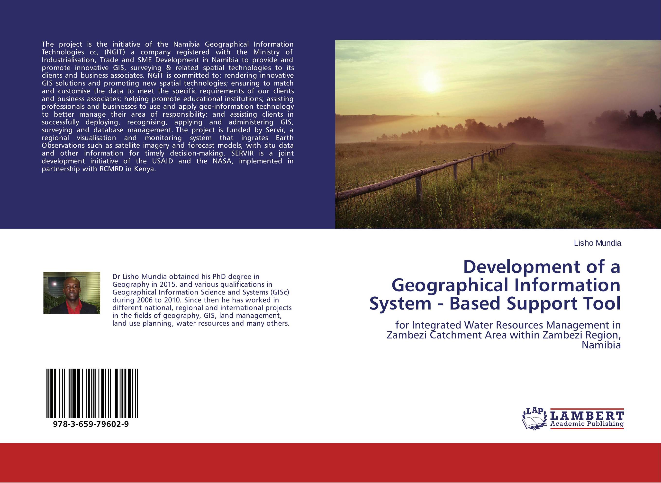
Development of a Geographical Information System - Based Support Tool. For Integrated Water Resources Management in Zambezi Catchment Area within Zambezi Region, Namibia

В наличии
| Местонахождение: Алматы | Состояние экземпляра: новый |

Бумажная
версия
версия
Автор: Lisho Mundia
ISBN: 9783659796029
Год издания: 2015
Формат книги: 60×90/16 (145×215 мм)
Количество страниц: 72
Издательство: LAP LAMBERT Academic Publishing
Цена: 15891 тг
Положить в корзину
| Способы доставки в город Алматы * комплектация (срок до отгрузки) не более 2 рабочих дней |
| Самовывоз из города Алматы (пункты самовывоза партнёра CDEK) |
| Курьерская доставка CDEK из города Москва |
| Доставка Почтой России из города Москва |
Аннотация: The project is the initiative of the Namibia Geographical Information Technologies cc, (NGIT) a company registered with the Ministry of Industrialisation, Trade and SME Development in Namibia to provide and promote innovative GIS, surveying & related spatial technologies to its clients and business associates. NGIT is committed to: rendering innovative GIS solutions and promoting new spatial technologies; ensuring to match and customise the data to meet the specific requirements of our clients and business associates; helping promote educational institutions; assisting professionals and businesses to use and apply geo-information technology to better manage their area of responsibility; and assisting clients in successfully deploying, recognising, applying and administering GIS, surveying and database management. The project is funded by Servir, a regional visualisation and monitoring system that ingrates Earth Observations such as satellite imagery and forecast models, with situ data and other information for timely decision-making. SERVIR is a joint development initiative of the USAID and the NASA, implemented in partnership with RCMRD in Kenya.
Ключевые слова: GIS, hydrology, integrated water resources management (IWRM), land management, Land use planning, Namibia, Zambezi Region, Zambezi Catchment


