| Поиск по каталогу |
|
(строгое соответствие)
|
- Профессиональная
- Научно-популярная
- Художественная
- Публицистика
- Детская
- Искусство
- Хобби, семья, дом
- Спорт
- Путеводители
- Блокноты, тетради, открытки
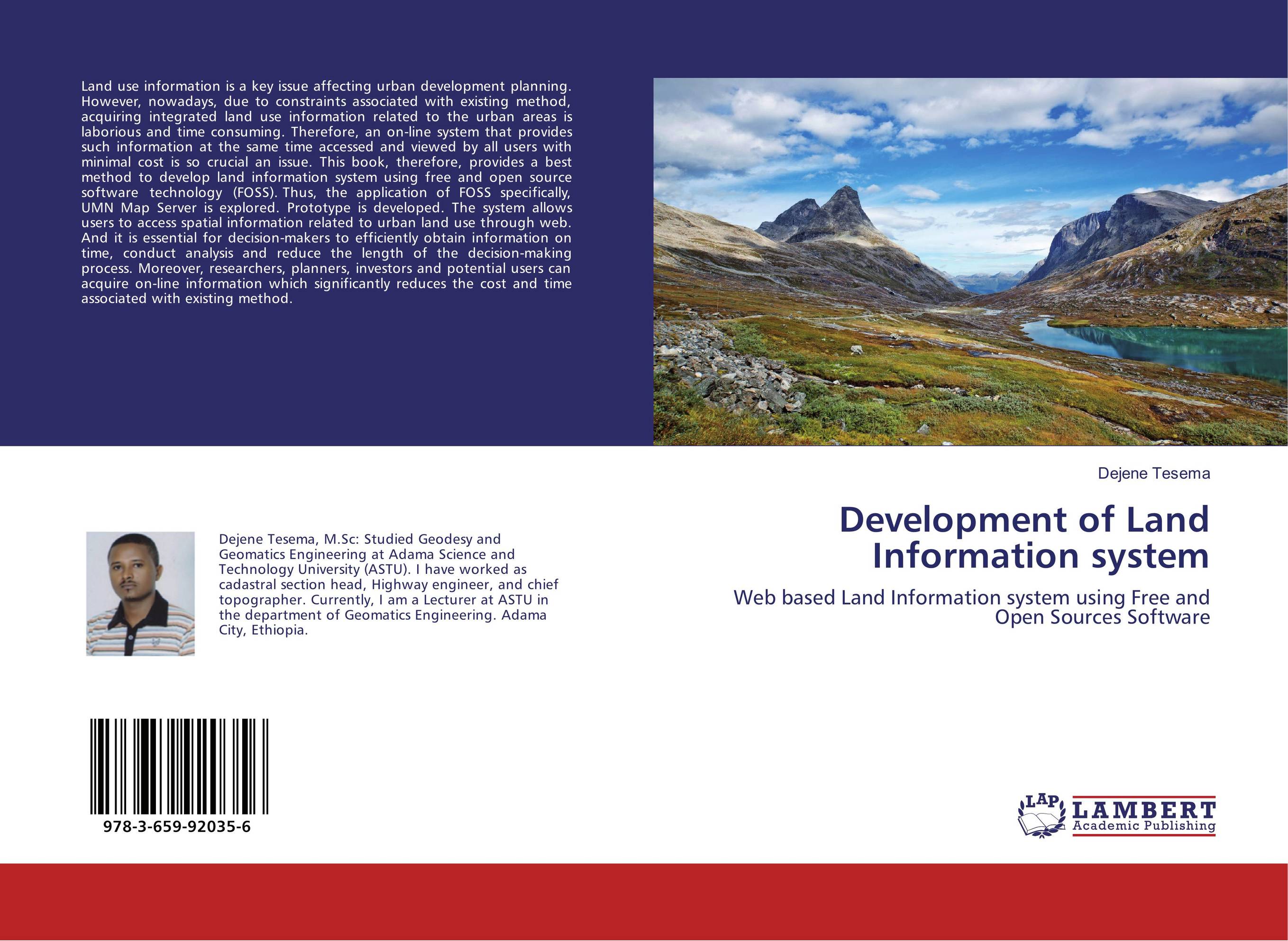
Development of Land Information system. Web based Land Information system using Free and Open Sources Software

В наличии
| Местонахождение: Алматы | Состояние экземпляра: новый |

Бумажная
версия
версия
Автор: Dejene Tesema
ISBN: 9783659920356
Год издания: 2016
Формат книги: 60×90/16 (145×215 мм)
Количество страниц: 76
Издательство: LAP LAMBERT Academic Publishing
Цена: 23436 тг
Положить в корзину
Позиции в рубрикаторе
Отрасли знаний:Код товара: 161198
| Способы доставки в город Алматы * комплектация (срок до отгрузки) не более 2 рабочих дней |
| Самовывоз из города Алматы (пункты самовывоза партнёра CDEK) |
| Курьерская доставка CDEK из города Москва |
| Доставка Почтой России из города Москва |
Аннотация: Land use information is a key issue affecting urban development planning. However, nowadays, due to constraints associated with existing method, acquiring integrated land use information related to the urban areas is laborious and time consuming. Therefore, an on-line system that provides such information at the same time accessed and viewed by all users with minimal cost is so crucial an issue. This book, therefore, provides a best method to develop land information system using free and open source software technology (FOSS). Thus, the application of FOSS specifically, UMN Map Server is explored. Prototype is developed. The system allows users to access spatial information related to urban land use through web. And it is essential for decision-makers to efficiently obtain information on time, conduct analysis and reduce the length of the decision-making process. Moreover, researchers, planners, investors and potential users can acquire on-line information which significantly reduces the cost and time associated with existing method.
Ключевые слова: free and open source software, GIS, Land Information System, Web-mapping


