| Поиск по каталогу |
|
(строгое соответствие)
|
- Профессиональная
- Научно-популярная
- Художественная
- Публицистика
- Детская
- Искусство
- Хобби, семья, дом
- Спорт
- Путеводители
- Блокноты, тетради, открытки
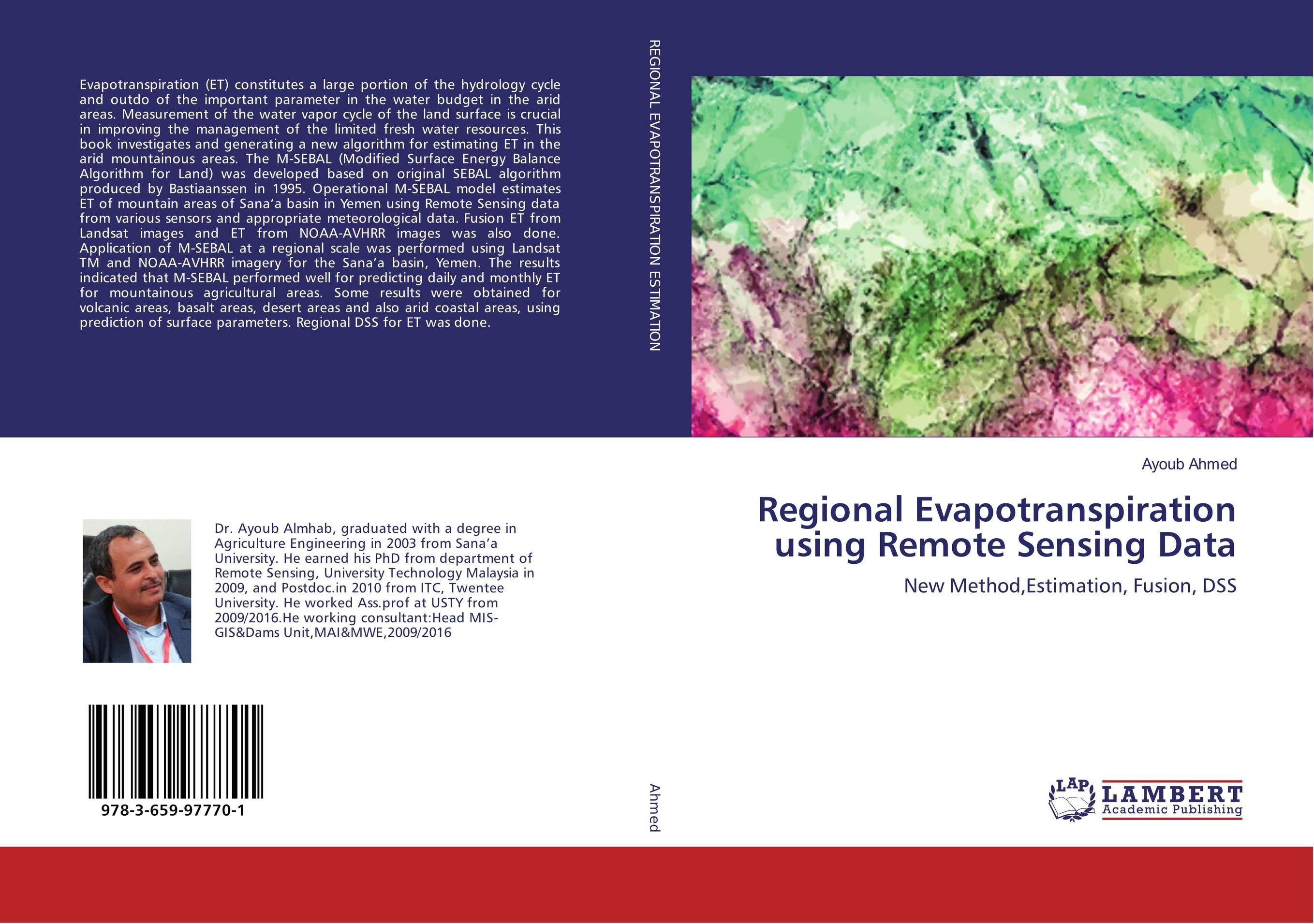
Regional Evapotranspiration using Remote Sensing Data. New Method,Estimation, Fusion, DSS

В наличии
| Местонахождение: Алматы | Состояние экземпляра: новый |

Бумажная
версия
версия
Автор: Ayoub Ahmed
ISBN: 9783659977701
Год издания: 2016
Формат книги: 60×90/16 (145×215 мм)
Количество страниц: 284
Издательство: LAP LAMBERT Academic Publishing
Цена: 48105 тг
Положить в корзину
| Способы доставки в город Алматы * комплектация (срок до отгрузки) не более 2 рабочих дней |
| Самовывоз из города Алматы (пункты самовывоза партнёра CDEK) |
| Курьерская доставка CDEK из города Москва |
| Доставка Почтой России из города Москва |
Аннотация: Evapotranspiration (ET) constitutes a large portion of the hydrology cycle and outdo of the important parameter in the water budget in the arid areas. Measurement of the water vapor cycle of the land surface is crucial in improving the management of the limited fresh water resources. This book investigates and generating a new algorithm for estimating ET in the arid mountainous areas. The M-SEBAL (Modified Surface Energy Balance Algorithm for Land) was developed based on original SEBAL algorithm produced by Bastiaanssen in 1995. Operational M-SEBAL model estimates ET of mountain areas of Sana’a basin in Yemen using Remote Sensing data from various sensors and appropriate meteorological data. Fusion ET from Landsat images and ET from NOAA-AVHRR images was also done. Application of M-SEBAL at a regional scale was performed using Landsat TM and NOAA-AVHRR imagery for the Sana’a basin, Yemen. The results indicated that M-SEBAL performed well for predicting daily and monthly ET for mountainous agricultural areas. Some results were obtained for volcanic areas, basalt areas, desert areas and also arid coastal areas, using prediction of surface parameters. Regional DSS for ET was done.
Ключевые слова: evapotranspiration, Remote sensing, M-SEBAL, Yemen., GIS, Arid Areas, DSS, fusion, water balance, Soil Energy, ETM, AVHRR


