| Поиск по каталогу |
|
(строгое соответствие)
|
- Профессиональная
- Научно-популярная
- Художественная
- Публицистика
- Детская
- Искусство
- Хобби, семья, дом
- Спорт
- Путеводители
- Блокноты, тетради, открытки
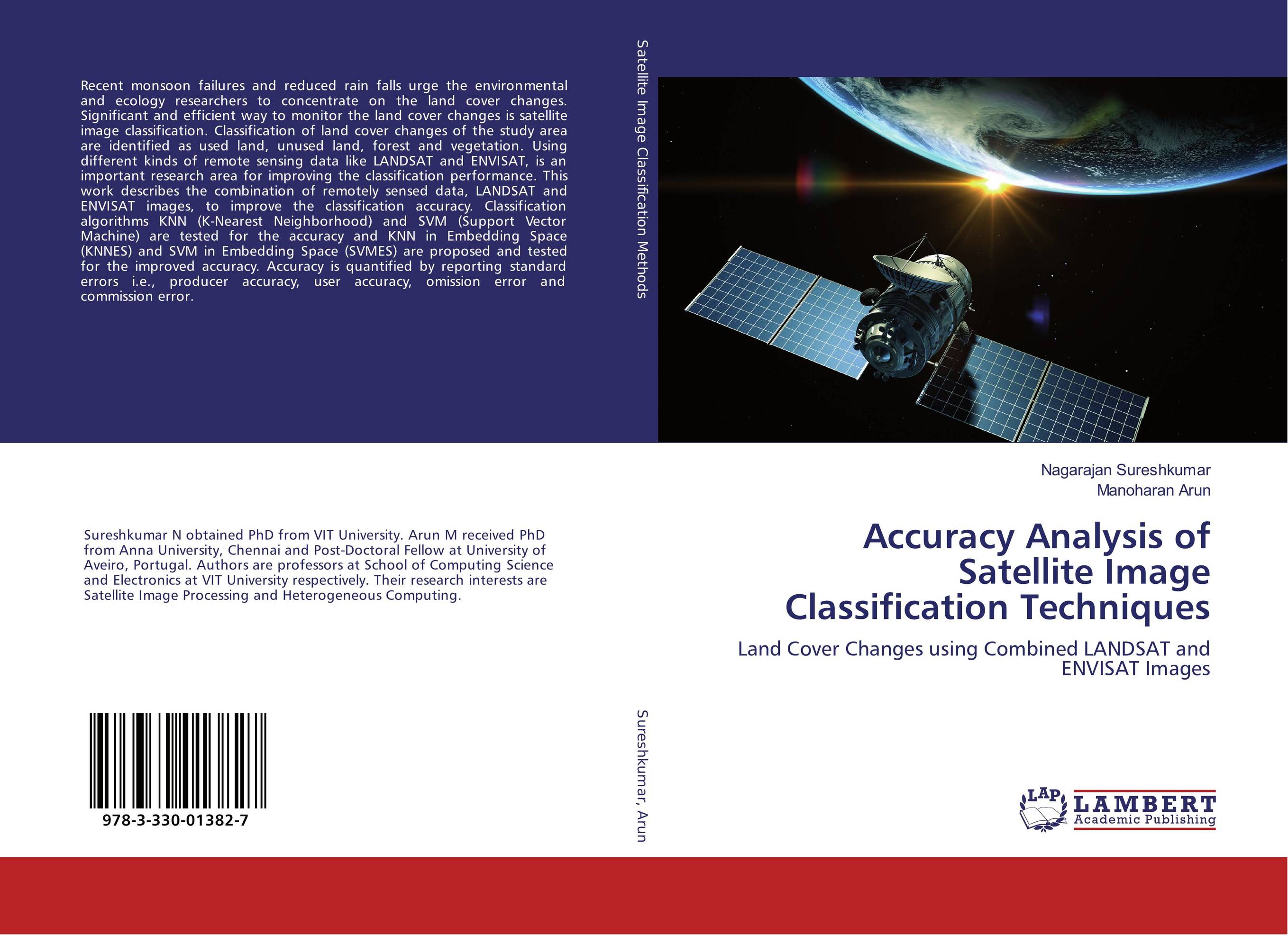
Accuracy Analysis of Satellite Image Classification Techniques. Land Cover Changes using Combined LANDSAT and ENVISAT Images

В наличии
| Местонахождение: Алматы | Состояние экземпляра: новый |

Бумажная
версия
версия
Автор: Nagarajan Sureshkumar and Manoharan Arun
ISBN: 9783330013827
Год издания: 2016
Формат книги: 60×90/16 (145×215 мм)
Количество страниц: 112
Издательство: LAP LAMBERT Academic Publishing
Цена: 32112 тг
Положить в корзину
Позиции в рубрикаторе
Отрасли знаний:Код товара: 166483
| Способы доставки в город Алматы * комплектация (срок до отгрузки) не более 2 рабочих дней |
| Самовывоз из города Алматы (пункты самовывоза партнёра CDEK) |
| Курьерская доставка CDEK из города Москва |
| Доставка Почтой России из города Москва |
Аннотация: Recent monsoon failures and reduced rain falls urge the environmental and ecology researchers to concentrate on the land cover changes. Significant and efficient way to monitor the land cover changes is satellite image classification. Classification of land cover changes of the study area are identified as used land, unused land, forest and vegetation. Using different kinds of remote sensing data like LANDSAT and ENVISAT, is an important research area for improving the classification performance. This work describes the combination of remotely sensed data, LANDSAT and ENVISAT images, to improve the classification accuracy. Classification algorithms KNN (K-Nearest Neighborhood) and SVM (Support Vector Machine) are tested for the accuracy and KNN in Embedding Space (KNNES) and SVM in Embedding Space (SVMES) are proposed and tested for the improved accuracy. Accuracy is quantified by reporting standard errors i.e., producer accuracy, user accuracy, omission error and commission error.
Ключевые слова: Satellite Image processing, Accuracy Analysis


