| Поиск по каталогу |
|
(строгое соответствие)
|
- Профессиональная
- Научно-популярная
- Художественная
- Публицистика
- Детская
- Искусство
- Хобби, семья, дом
- Спорт
- Путеводители
- Блокноты, тетради, открытки
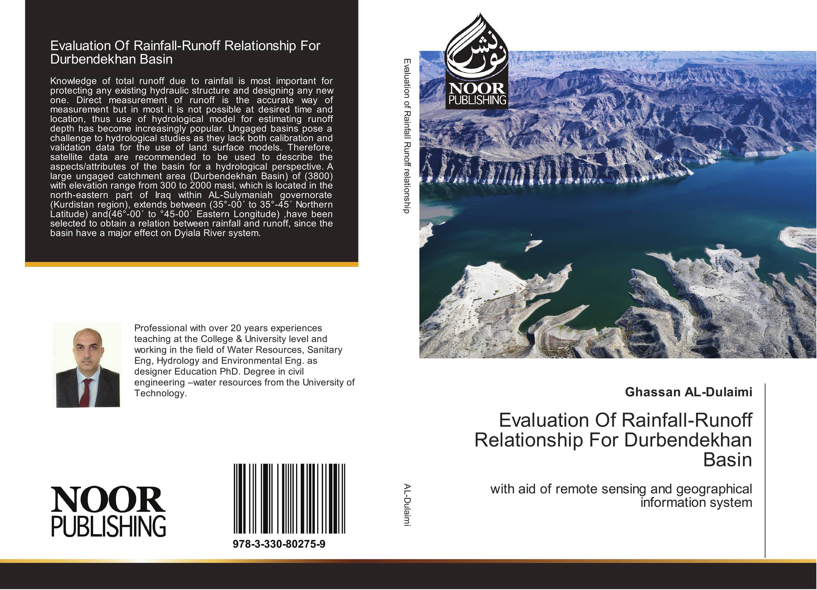
Evaluation Of Rainfall-Runoff Relationship For Durbendekhan Basin. With aid of remote sensing and geographical information system

В наличии
| Местонахождение: Алматы | Состояние экземпляра: новый |

Бумажная
версия
версия
Автор: Ghassan AL-Dulaimi
ISBN: 9783330802759
Год издания: 2017
Формат книги: 60×90/16 (145×215 мм)
Количество страниц: 140
Издательство: Noor Publishing
Цена: 33794 тг
Положить в корзину
| Способы доставки в город Алматы * комплектация (срок до отгрузки) не более 2 рабочих дней |
| Самовывоз из города Алматы (пункты самовывоза партнёра CDEK) |
| Курьерская доставка CDEK из города Москва |
| Доставка Почтой России из города Москва |
Аннотация: Knowledge of total runoff due to rainfall is most important for protecting any existing hydraulic structure and designing any new one. Direct measurement of runoff is the accurate way of measurement but in most it is not possible at desired time and location, thus use of hydrological model for estimating runoff depth has become increasingly popular. Ungaged basins pose a challenge to hydrological studies as they lack both calibration and validation data for the use of land surface models. Therefore, satellite data are recommended to be used to describe the aspects/attributes of the basin for a hydrological perspective. A large ungaged catchment area (Durbendekhan Basin) of (3800) with elevation range from 300 to 2000 masl, which is located in the north-eastern part of Iraq within AL-Sulymaniah governorate (Kurdistan region), extends between (35°-00? to 35°-45? Northern Latitude) and(46°-00? to °45-00? Eastern Longitude) ,have been selected to obtain a relation between rainfall and runoff, since the basin have a major effect on Dyiala River system.
Ключевые слова: hydrology


