| Поиск по каталогу |
|
(строгое соответствие)
|
- Профессиональная
- Научно-популярная
- Художественная
- Публицистика
- Детская
- Искусство
- Хобби, семья, дом
- Спорт
- Путеводители
- Блокноты, тетради, открытки
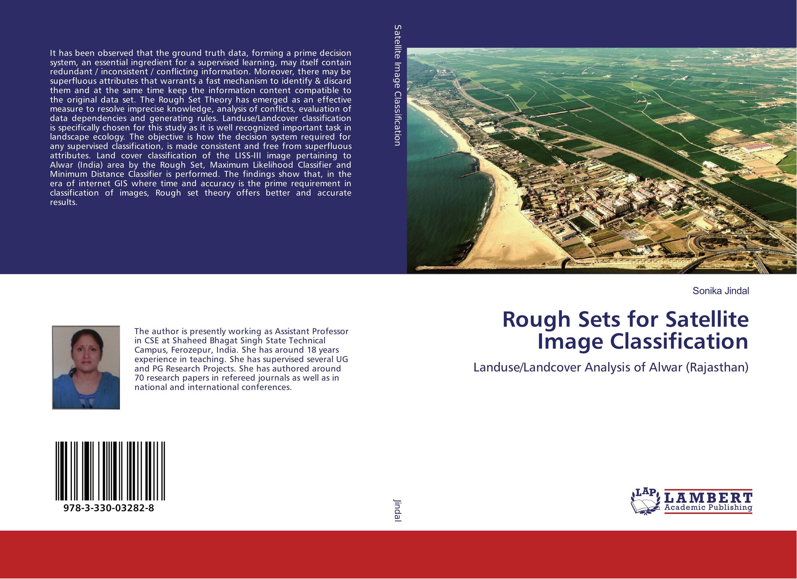
Rough Sets for Satellite Image Classification. Landuse/Landcover Analysis of Alwar (Rajasthan)

В наличии
| Местонахождение: Алматы | Состояние экземпляра: новый |

Бумажная
версия
версия
Автор: Sonika Jindal
ISBN: 9783330032828
Год издания: 2017
Формат книги: 60×90/16 (145×215 мм)
Количество страниц: 108
Издательство: LAP LAMBERT Academic Publishing
Цена: 29753 тг
Положить в корзину
Позиции в рубрикаторе
Отрасли знаний:Код товара: 168258
| Способы доставки в город Алматы * комплектация (срок до отгрузки) не более 2 рабочих дней |
| Самовывоз из города Алматы (пункты самовывоза партнёра CDEK) |
| Курьерская доставка CDEK из города Москва |
| Доставка Почтой России из города Москва |
Аннотация: It has been observed that the ground truth data, forming a prime decision system, an essential ingredient for a supervised learning, may itself contain redundant / inconsistent / conflicting information. Moreover, there may be superfluous attributes that warrants a fast mechanism to identify & discard them and at the same time keep the information content compatible to the original data set. The Rough Set Theory has emerged as an effective measure to resolve imprecise knowledge, analysis of conflicts, evaluation of data dependencies and generating rules. Landuse/Landcover classification is specifically chosen for this study as it is well recognized important task in landscape ecology. The objective is how the decision system required for any supervised classification, is made consistent and free from superfluous attributes. Land cover classification of the LISS-III image pertaining to Alwar (India) area by the Rough Set, Maximum Likelihood Classifier and Minimum Distance Classifier is performed. The findings show that, in the era of internet GIS where time and accuracy is the prime requirement in classification of images, Rough set theory offers better and accurate results.
Ключевые слова: confusion matrix, Image classification, Landuse/Landcover, Remote sensing, rough sets, kappa coefficient


