


| Поиск по каталогу |
|
(строгое соответствие)
|
- Профессиональная
- Научно-популярная
- Художественная
- Публицистика
- Детская
- Искусство
- Хобби, семья, дом
- Спорт
- Путеводители
- Блокноты, тетради, открытки
Hydrothermal Alteration Interpretation of LANDSAT and ASTER Data.
В наличии
| Местонахождение: Алматы | Состояние экземпляра: новый |

Бумажная
версия
версия
Автор: Delali Dagodzo
ISBN: 9783330029033
Год издания: 2017
Формат книги: 60×90/16 (145×215 мм)
Количество страниц: 112
Издательство: LAP LAMBERT Academic Publishing
Цена: 29896 тг
Положить в корзину
| Способы доставки в город Алматы * комплектация (срок до отгрузки) не более 2 рабочих дней |
| Самовывоз из города Алматы (пункты самовывоза партнёра CDEK) |
| Курьерская доставка CDEK из города Москва |
| Доставка Почтой России из города Москва |
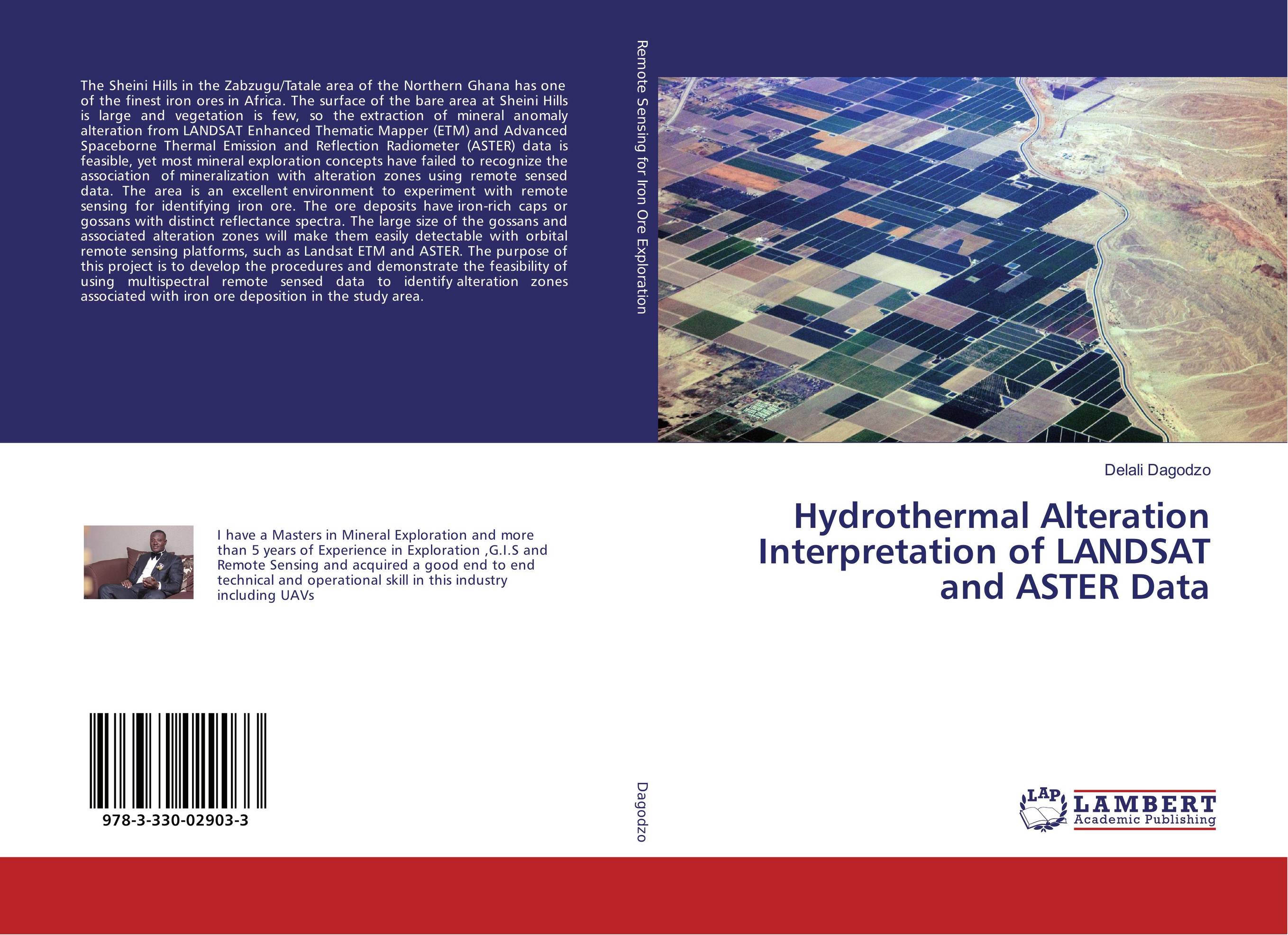
Аннотация: The Sheini Hills in the Zabzugu/Tatale area of the Northern Ghana has one of the finest iron ores in Africa. The surface of the bare area at Sheini Hills is large and vegetation is few, so the extraction of mineral anomaly alteration from LANDSAT Enhanced Thematic Mapper (ETM) and Advanced Spaceborne Thermal Emission and Reflection Radiometer (ASTER) data is feasible, yet most mineral exploration concepts have failed to recognize the association of mineralization with alteration zones using remote sensed data. The area is an excellent environment to experiment with remote sensing for identifying iron ore. The ore deposits have iron-rich caps or gossans with distinct reflectance spectra. The large size of the gossans and associated alteration zones will make them easily detectable with orbital remote sensing platforms, such as Landsat ETM and ASTER. The purpose of this project is to develop the procedures and demonstrate the feasibility of using multispectral remote sensed data to identify alteration zones associated with iron ore deposition in the study area.
Ключевые слова: Remote sensing