| Поиск по каталогу |
|
(строгое соответствие)
|
- Профессиональная
- Научно-популярная
- Художественная
- Публицистика
- Детская
- Искусство
- Хобби, семья, дом
- Спорт
- Путеводители
- Блокноты, тетради, открытки
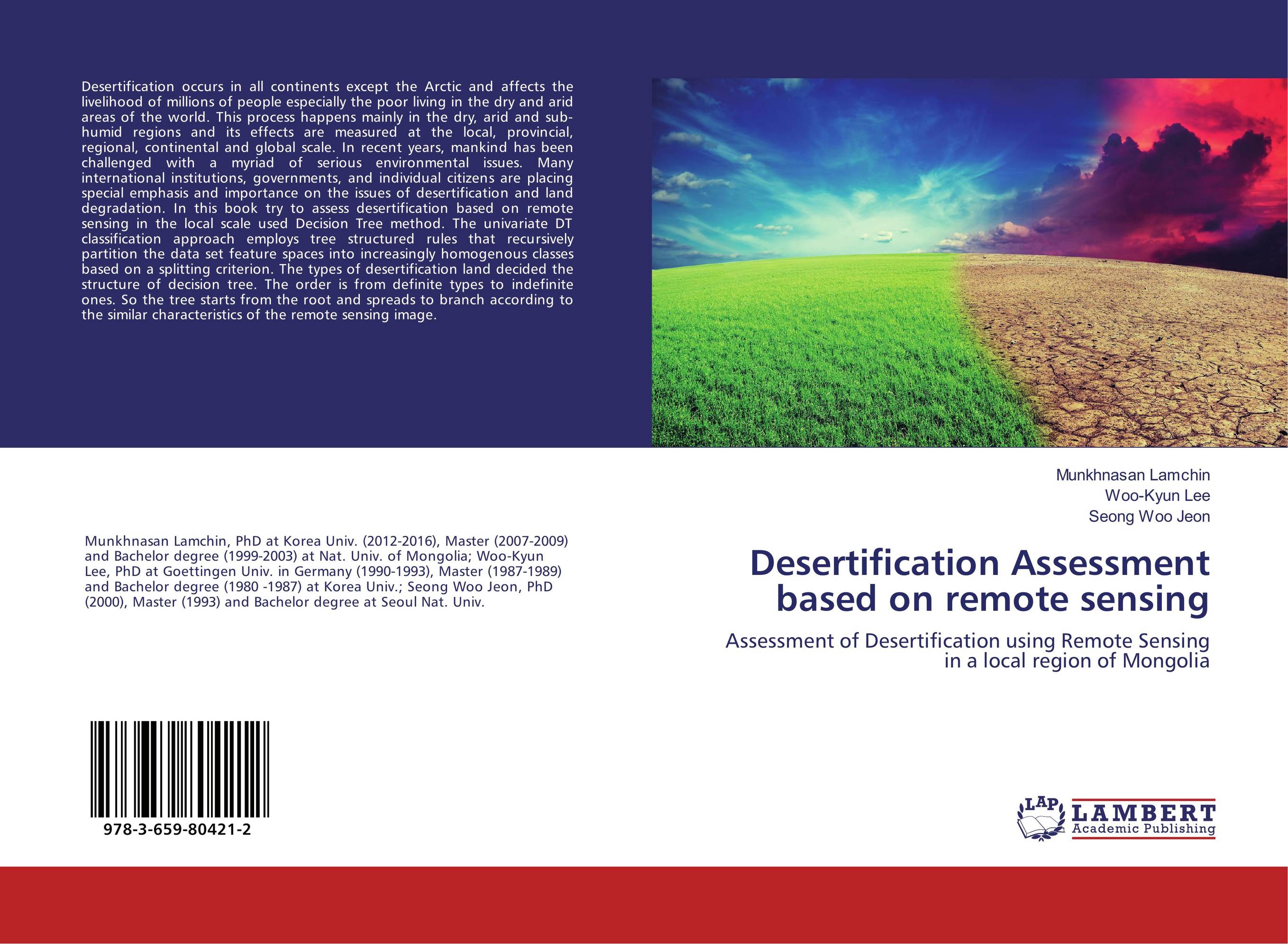
Desertification Assessment based on remote sensing. Assessment of Desertification using Remote Sensing in a local region of Mongolia

В наличии
| Местонахождение: Алматы | Состояние экземпляра: новый |

Бумажная
версия
версия
Автор: Munkhnasan Lamchin,Woo-Kyun Lee and Seong Woo Jeon
ISBN: 9783659804212
Год издания: 2017
Формат книги: 60×90/16 (145×215 мм)
Количество страниц: 60
Издательство: LAP LAMBERT Academic Publishing
Цена: 14497 тг
Положить в корзину
| Способы доставки в город Алматы * комплектация (срок до отгрузки) не более 2 рабочих дней |
| Самовывоз из города Алматы (пункты самовывоза партнёра CDEK) |
| Курьерская доставка CDEK из города Москва |
| Доставка Почтой России из города Москва |
Аннотация: Desertification occurs in all continents except the Arctic and affects the livelihood of millions of people especially the poor living in the dry and arid areas of the world. This process happens mainly in the dry, arid and sub-humid regions and its effects are measured at the local, provincial, regional, continental and global scale. In recent years, mankind has been challenged with a myriad of serious environmental issues. Many international institutions, governments, and individual citizens are placing special emphasis and importance on the issues of desertification and land degradation. In this book try to assess desertification based on remote sensing in the local scale used Decision Tree method. The univariate DT classification approach employs tree structured rules that recursively partition the data set feature spaces into increasingly homogenous classes based on a splitting criterion. The types of desertification land decided the structure of decision tree. The order is from definite types to indefinite ones. So the tree starts from the root and spreads to branch according to the similar characteristics of the remote sensing image.
Ключевые слова: desertification, Remote sensing, assessment, correlation, corr?lation, Topsoil Grain Size Index


