| Поиск по каталогу |
|
(строгое соответствие)
|
- Профессиональная
- Научно-популярная
- Художественная
- Публицистика
- Детская
- Искусство
- Хобби, семья, дом
- Спорт
- Путеводители
- Блокноты, тетради, открытки
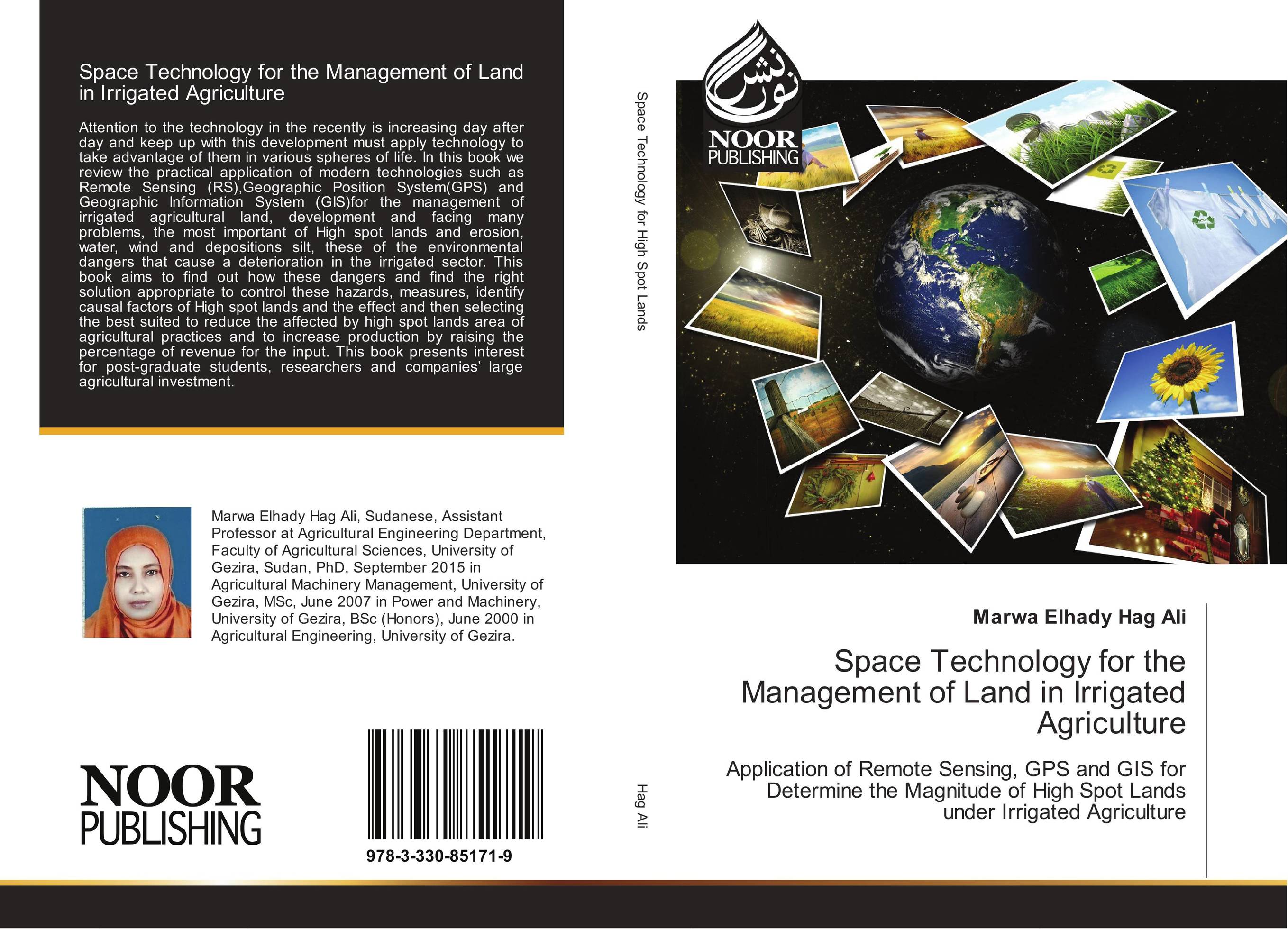
Space Technology for the Management of Land in Irrigated Agriculture. Application of Remote Sensing, GPS and GIS for Determine the Magnitude of High Spot Lands under Irrigated Agriculture

В наличии
| Местонахождение: Алматы | Состояние экземпляра: новый |

Бумажная
версия
версия
Автор: Marwa Elhady Hag Ali
ISBN: 9783330851719
Год издания: 2017
Формат книги: 60×90/16 (145×215 мм)
Количество страниц: 148
Издательство: Noor Publishing
Цена: 36562 тг
Положить в корзину
Позиции в рубрикаторе
Отрасли экономики:Код товара: 170297
| Способы доставки в город Алматы * комплектация (срок до отгрузки) не более 2 рабочих дней |
| Самовывоз из города Алматы (пункты самовывоза партнёра CDEK) |
| Курьерская доставка CDEK из города Москва |
| Доставка Почтой России из города Москва |
Аннотация: Attention to the technology in the recently is increasing day after day and keep up with this development must apply technology to take advantage of them in various spheres of life. In this book we review the practical application of modern technologies such as Remote Sensing (RS),Geographic Position System(GPS) and Geographic Information System (GIS)for the management of irrigated agricultural land, development and facing many problems, the most important of High spot lands and erosion, water, wind and depositions silt, these of the environmental dangers that cause a deterioration in the irrigated sector. This book aims to find out how these dangers and find the right solution appropriate to control these hazards, measures, identify causal factors of High spot lands and the effect and then selecting the best suited to reduce the affected by high spot lands area of agricultural practices and to increase production by raising the percentage of revenue for the input. This book presents interest for post-graduate students, researchers and companies’ large agricultural investment.
Ключевые слова: GIS, GPS, remote sensing, High Spots Land


