| Поиск по каталогу |
|
(строгое соответствие)
|
- Профессиональная
- Научно-популярная
- Художественная
- Публицистика
- Детская
- Искусство
- Хобби, семья, дом
- Спорт
- Путеводители
- Блокноты, тетради, открытки
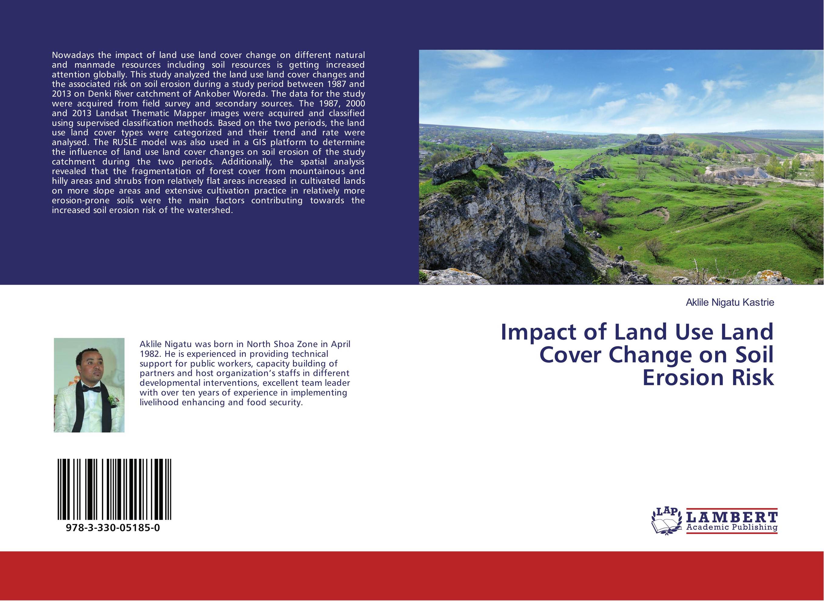
Impact of Land Use Land Cover Change on Soil Erosion Risk.

В наличии
| Местонахождение: Алматы | Состояние экземпляра: новый |

Бумажная
версия
версия
Автор: Aklile Nigatu Kastrie
ISBN: 9783330051850
Год издания: 2017
Формат книги: 60×90/16 (145×215 мм)
Количество страниц: 88
Издательство: LAP LAMBERT Academic Publishing
Цена: 17521 тг
Положить в корзину
| Способы доставки в город Алматы * комплектация (срок до отгрузки) не более 2 рабочих дней |
| Самовывоз из города Алматы (пункты самовывоза партнёра CDEK) |
| Курьерская доставка CDEK из города Москва |
| Доставка Почтой России из города Москва |
Аннотация: Nowadays the impact of land use land cover change on different natural and manmade resources including soil resources is getting increased attention globally. This study analyzed the land use land cover changes and the associated risk on soil erosion during a study period between 1987 and 2013 on Denki River catchment of Ankober Woreda. The data for the study were acquired from field survey and secondary sources. The 1987, 2000 and 2013 Landsat Thematic Mapper images were acquired and classified using supervised classification methods. Based on the two periods, the land use land cover types were categorized and their trend and rate were analysed. The RUSLE model was also used in a GIS platform to determine the influence of land use land cover changes on soil erosion of the study catchment during the two periods. Additionally, the spatial analysis revealed that the fragmentation of forest cover from mountainous and hilly areas and shrubs from relatively flat areas increased in cultivated lands on more slope areas and extensive cultivation practice in relatively more erosion-prone soils were the main factors contributing towards the increased soil erosion risk of the watershed.
Ключевые слова: GIS, Remote sensing, SOIL EROSION, watershed, LULCC, RUSLE model
Похожие издания
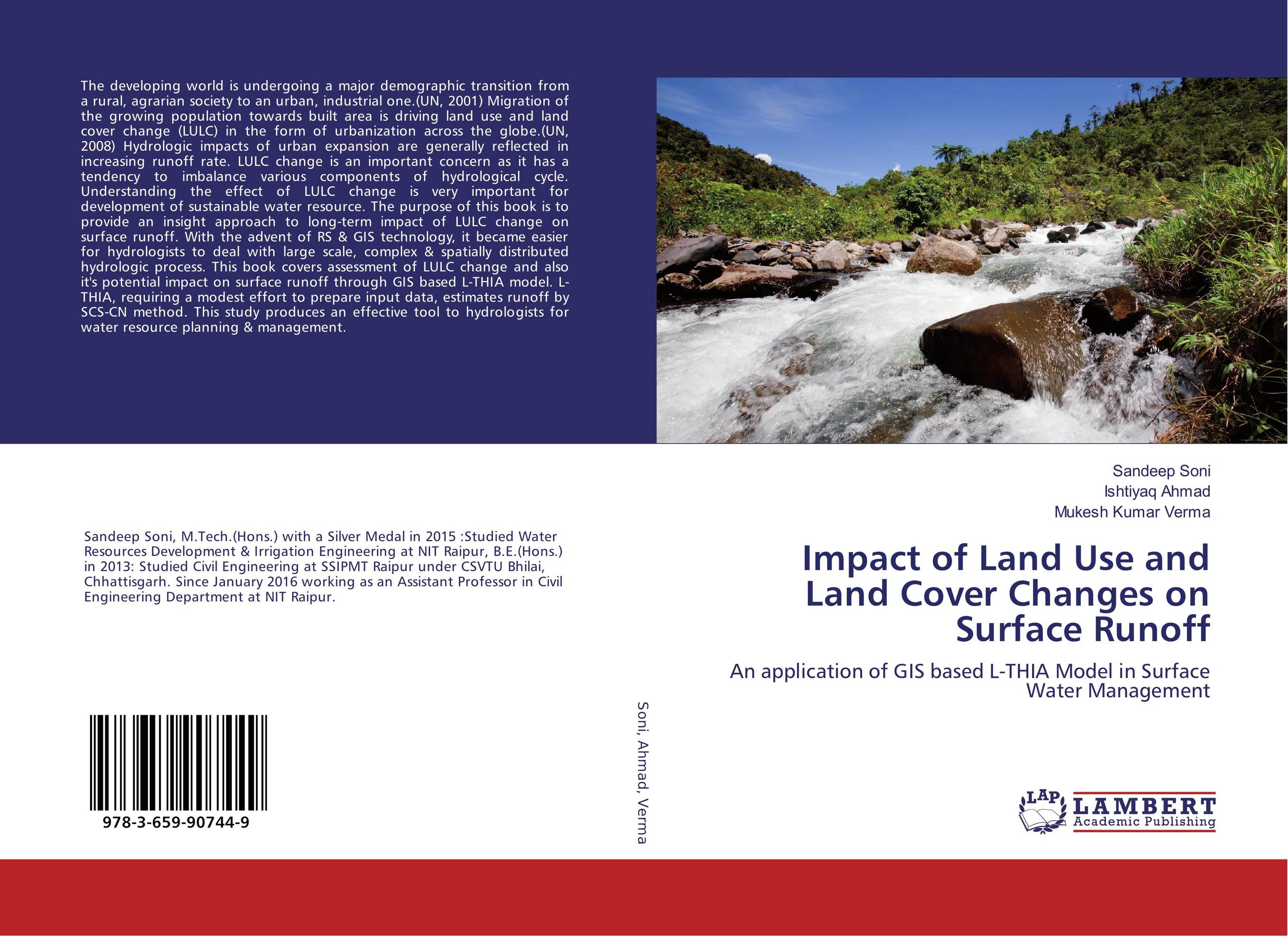
 | Отрасли знаний: Науки о Земле Sandeep Soni,Ishtiyaq Ahmad and Mukesh Kumar Verma Impact of Land Use and Land Cover Changes on Surface Runoff. An application of GIS based L-THIA Model in Surface Water Management. 2017 г., 100 стр., мягкий переплет The developing world is undergoing a major demographic transition from a rural, agrarian society to an urban, industrial one.(UN, 2001) Migration of the growing population towards built area is driving land use and land cover change (LULC) in the form of urbanization across the globe.(UN, 2008) Hydrologic impacts of urban expansion are generally... | 31686 тг |


