


| Поиск по каталогу |
|
(строгое соответствие)
|
- Профессиональная
- Научно-популярная
- Художественная
- Публицистика
- Детская
- Искусство
- Хобби, семья, дом
- Спорт
- Путеводители
- Блокноты, тетради, открытки
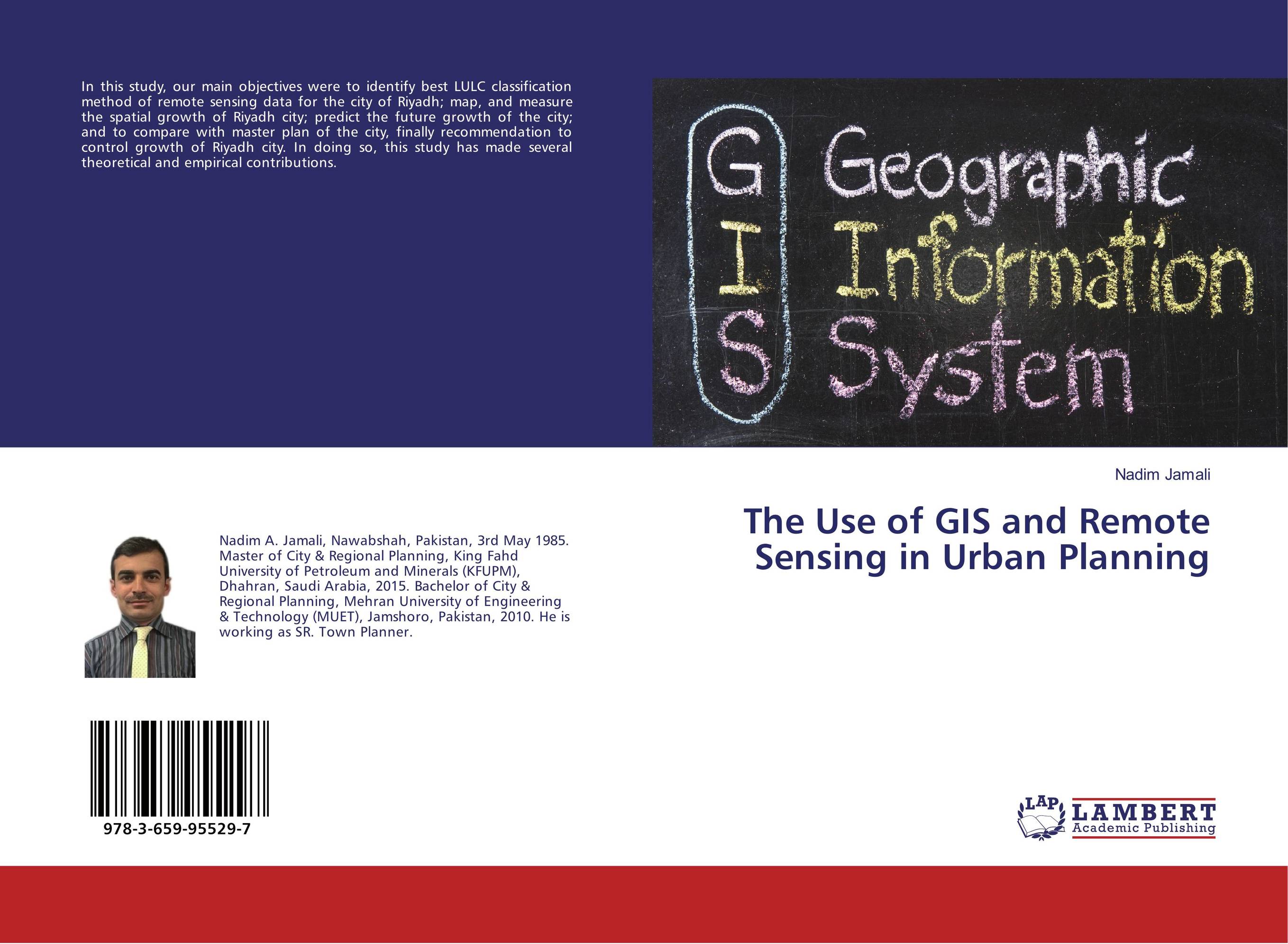
The Use of GIS and Remote Sensing in Urban Planning.
В наличии
| Местонахождение: Алматы | Состояние экземпляра: новый |

Бумажная
версия
версия
Автор: Nadim Jamali
ISBN: 9783659955297
Год издания: 2017
Формат книги: 60×90/16 (145×215 мм)
Количество страниц: 64
Издательство: LAP LAMBERT Academic Publishing
Цена: 21414 тг
Положить в корзину
| Способы доставки в город Алматы * комплектация (срок до отгрузки) не более 2 рабочих дней |
| Самовывоз из города Алматы (пункты самовывоза партнёра CDEK) |
| Курьерская доставка CDEK из города Москва |
| Доставка Почтой России из города Москва |
Аннотация: In this study, our main objectives were to identify best LULC classification method of remote sensing data for the city of Riyadh; map, and measure the spatial growth of Riyadh city; predict the future growth of the city; and to compare with master plan of the city, finally recommendation to control growth of Riyadh city. In doing so, this study has made several theoretical and empirical contributions.
Ключевые слова: GIS, Remote sensing, Riyadh, Saudi Arabia, urban planning
Похожие издания
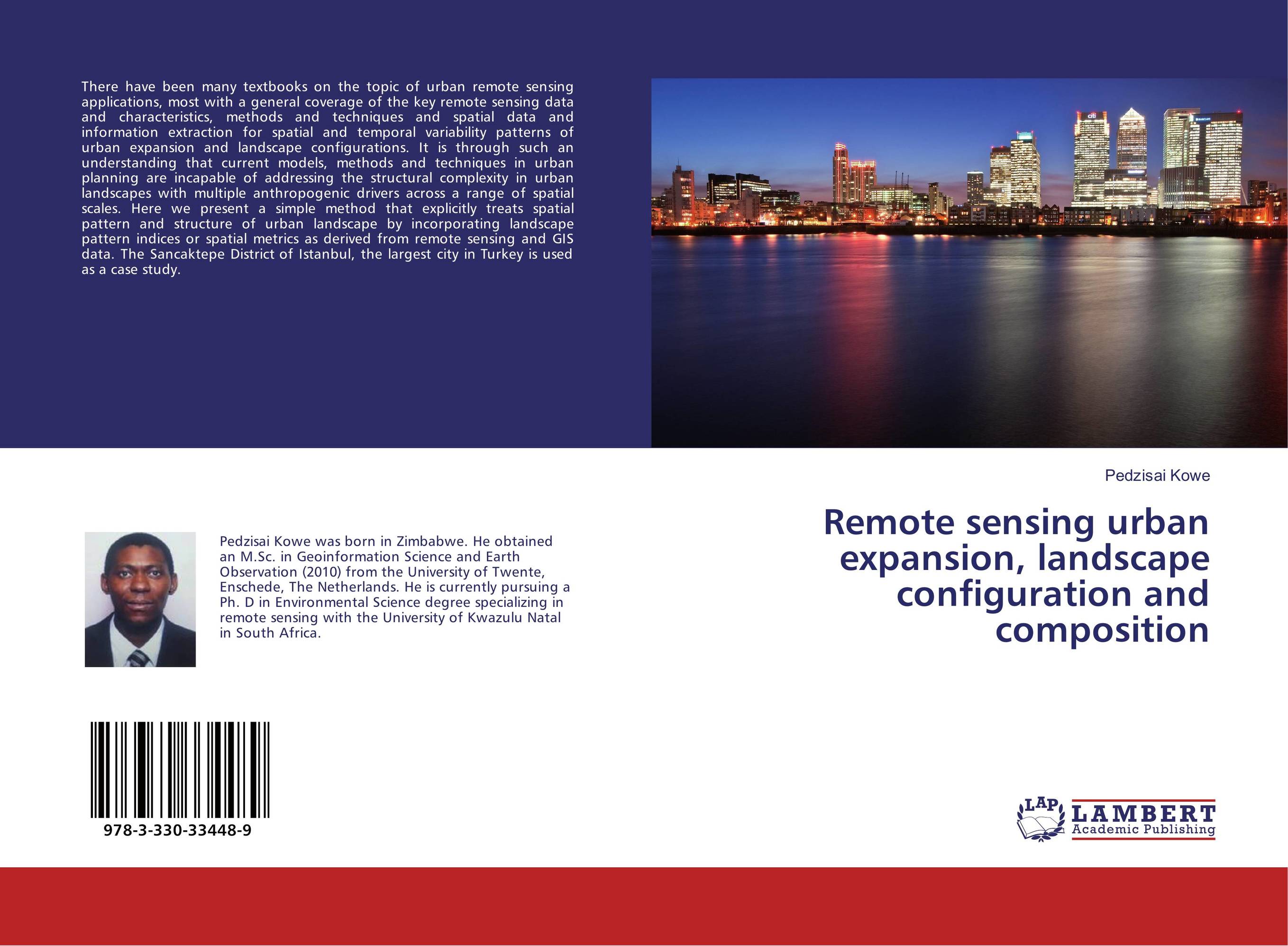 | Отрасли знаний: Науки о Земле Pedzisai Kowe Remote sensing urban expansion, landscape configuration and composition. . 2017 г., 56 стр., мягкий переплет There have been many textbooks on the topic of urban remote sensing applications, most with a general coverage of the key remote sensing data and characteristics, methods and techniques and spatial data and information extraction for spatial and temporal variability patterns of urban expansion and landscape configurations. It is through such an... | 21130 тг |
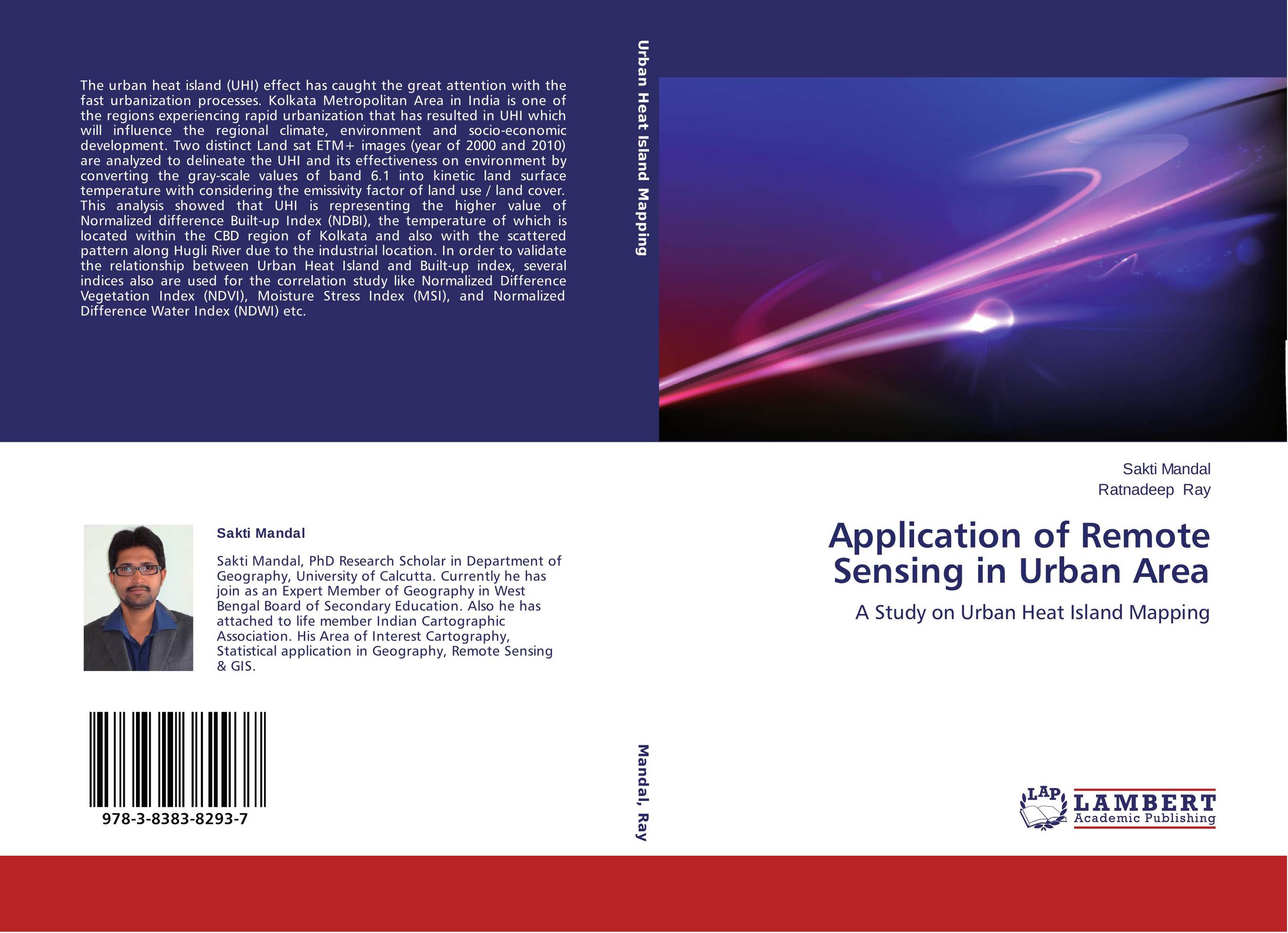 | Отрасли знаний: Науки о Земле Sakti Mandal and Ratnadeep Ray Application of Remote Sensing in Urban Area. A Study on Urban Heat Island Mapping. 2014 г., 124 стр., мягкий переплет The urban heat island (UHI) effect has caught the great attention with the fast urbanization processes. Kolkata Metropolitan Area in India is one of the regions experiencing rapid urbanization that has resulted in UHI which will influence the regional climate, environment and socio-economic development. Two distinct Land sat ETM+ images (year of... | 32741 тг |