| Поиск по каталогу |
|
(строгое соответствие)
|
- Профессиональная
- Научно-популярная
- Художественная
- Публицистика
- Детская
- Искусство
- Хобби, семья, дом
- Спорт
- Путеводители
- Блокноты, тетради, открытки
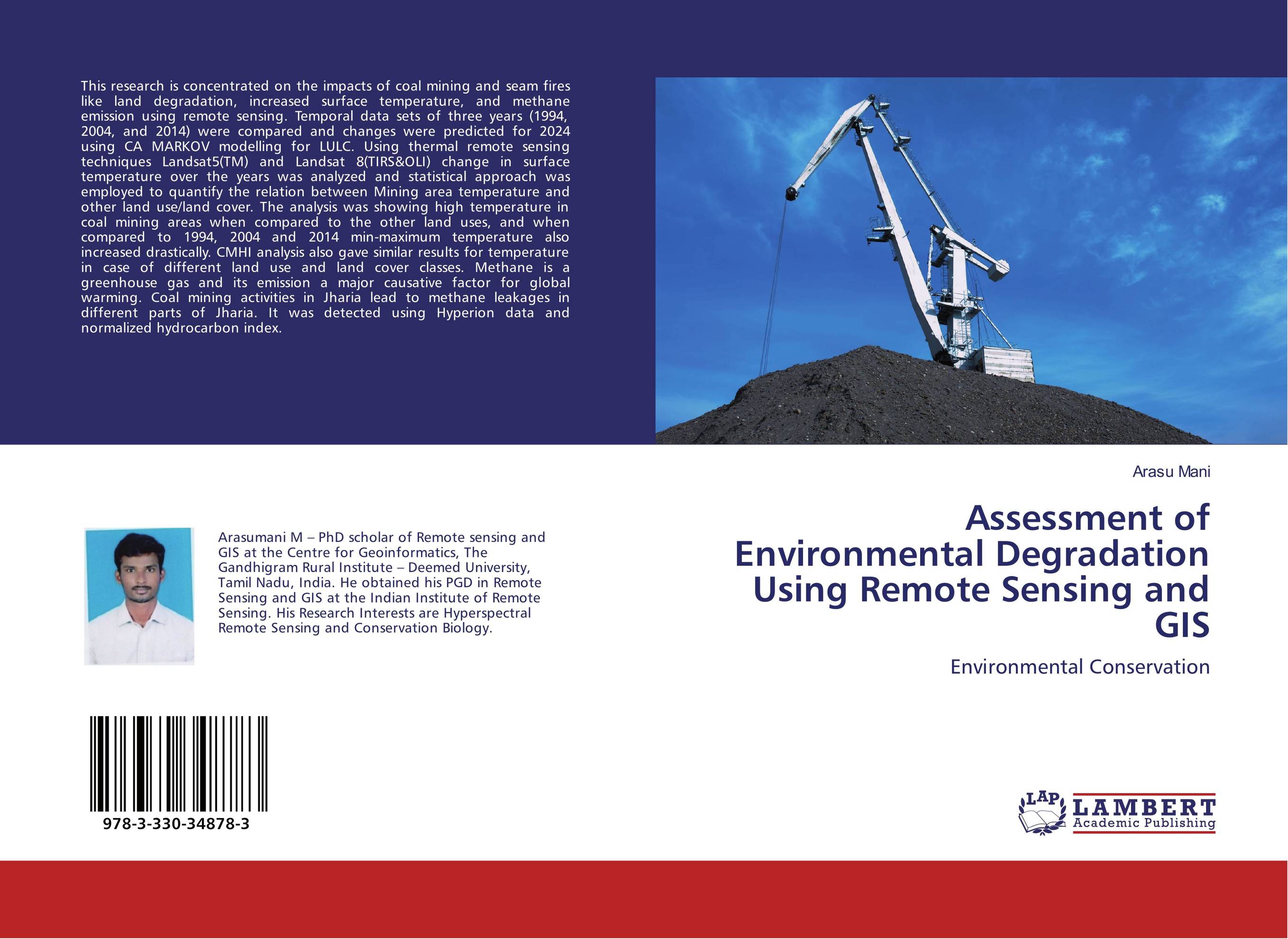
Assessment of Environmental Degradation Using Remote Sensing and GIS. Environmental Conservation

В наличии
| Местонахождение: Алматы | Состояние экземпляра: новый |

Бумажная
версия
версия
Автор: Arasu Mani
ISBN: 9783330348783
Год издания: 2017
Формат книги: 60×90/16 (145×215 мм)
Количество страниц: 92
Издательство: LAP LAMBERT Academic Publishing
Цена: 29185 тг
Положить в корзину
| Способы доставки в город Алматы * комплектация (срок до отгрузки) не более 2 рабочих дней |
| Самовывоз из города Алматы (пункты самовывоза партнёра CDEK) |
| Курьерская доставка CDEK из города Москва |
| Доставка Почтой России из города Москва |
Аннотация: This research is concentrated on the impacts of coal mining and seam fires like land degradation, increased surface temperature, and methane emission using remote sensing. Temporal data sets of three years (1994, 2004, and 2014) were compared and changes were predicted for 2024 using CA MARKOV modelling for LULC. Using thermal remote sensing techniques Landsat5(TM) and Landsat 8(TIRS&OLI) change in surface temperature over the years was analyzed and statistical approach was employed to quantify the relation between Mining area temperature and other land use/land cover. The analysis was showing high temperature in coal mining areas when compared to the other land uses, and when compared to 1994, 2004 and 2014 min-maximum temperature also increased drastically. CMHI analysis also gave similar results for temperature in case of different land use and land cover classes. Methane is a greenhouse gas and its emission a major causative factor for global warming. Coal mining activities in Jharia lead to methane leakages in different parts of Jharia. It was detected using Hyperion data and normalized hydrocarbon index.
Ключевые слова: coalfield, environmental degradation, Landsat, Methane, Temperature, CMHI-Coal Mining Heat Island, Hyperion, Hydrocarbon Index


