| Поиск по каталогу |
|
(строгое соответствие)
|
- Профессиональная
- Научно-популярная
- Художественная
- Публицистика
- Детская
- Искусство
- Хобби, семья, дом
- Спорт
- Путеводители
- Блокноты, тетради, открытки
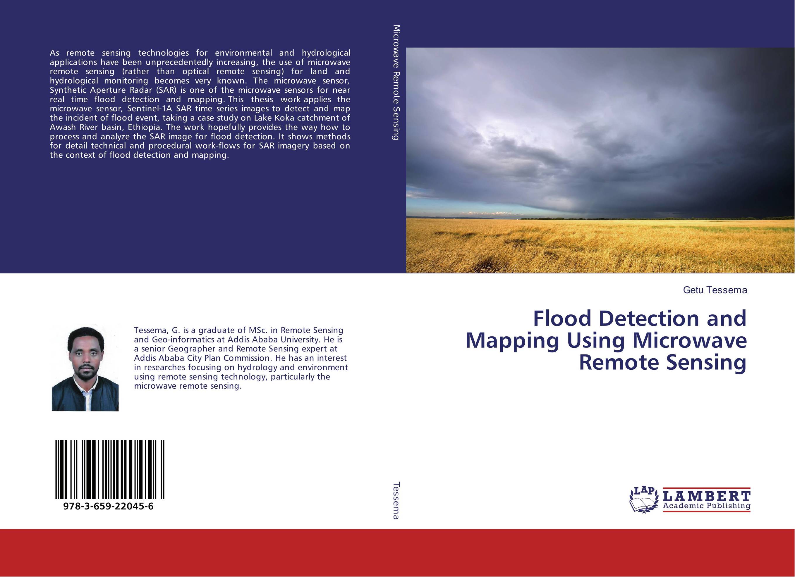
Flood Detection and Mapping Using Microwave Remote Sensing.

В наличии
| Местонахождение: Алматы | Состояние экземпляра: новый |

Бумажная
версия
версия
Автор: Getu Tessema
ISBN: 9783659220456
Год издания: 2017
Формат книги: 60×90/16 (145×215 мм)
Количество страниц: 112
Издательство: LAP LAMBERT Academic Publishing
Цена: 32112 тг
Положить в корзину
| Способы доставки в город Алматы * комплектация (срок до отгрузки) не более 2 рабочих дней |
| Самовывоз из города Алматы (пункты самовывоза партнёра CDEK) |
| Курьерская доставка CDEK из города Москва |
| Доставка Почтой России из города Москва |
Аннотация: As remote sensing technologies for environmental and hydrological applications have been unprecedentedly increasing, the use of microwave remote sensing (rather than optical remote sensing) for land and hydrological monitoring becomes very known. The microwave sensor, Synthetic Aperture Radar (SAR) is one of the microwave sensors for near real time flood detection and mapping. This thesis work applies the microwave sensor, Sentinel-1A SAR time series images to detect and map the incident of flood event, taking a case study on Lake Koka catchment of Awash River basin, Ethiopia. The work hopefully provides the way how to process and analyze the SAR image for flood detection. It shows methods for detail technical and procedural work-flows for SAR imagery based on the context of flood detection and mapping.
Ключевые слова: Awash River, Ethiopia, Ethiopia?, flood, Microwave Remote Sensing, SAR


