| Поиск по каталогу |
|
(строгое соответствие)
|
- Профессиональная
- Научно-популярная
- Художественная
- Публицистика
- Детская
- Искусство
- Хобби, семья, дом
- Спорт
- Путеводители
- Блокноты, тетради, открытки
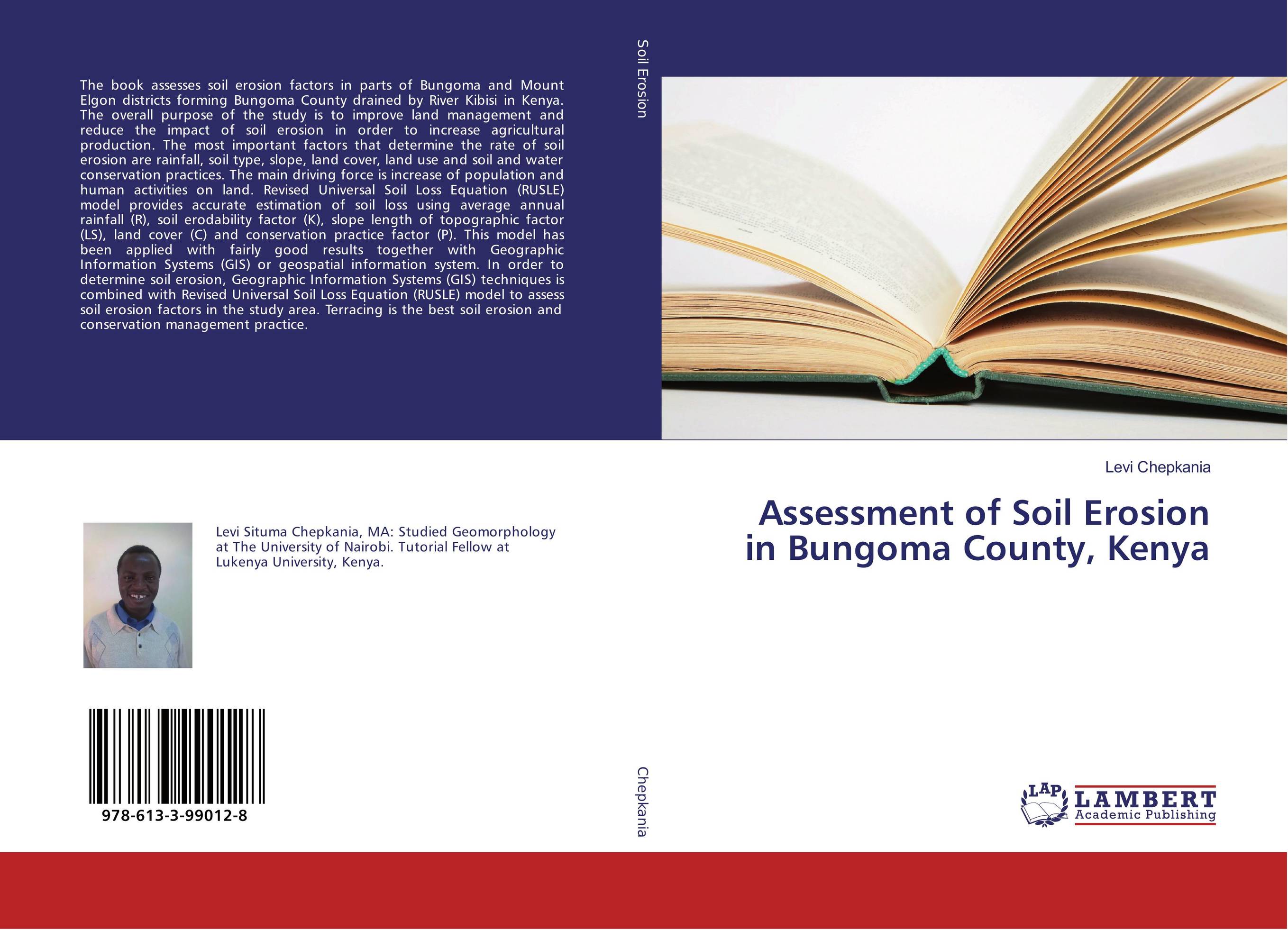
Assessment of Soil Erosion in Bungoma County, Kenya.

В наличии
| Местонахождение: Алматы | Состояние экземпляра: новый |

Бумажная
версия
версия
Автор: Levi Chepkania
ISBN: 9786133990128
Год издания: 2018
Формат книги: 60×90/16 (145×215 мм)
Количество страниц: 144
Издательство: LAP LAMBERT Academic Publishing
Цена: 33936 тг
Положить в корзину
| Способы доставки в город Алматы * комплектация (срок до отгрузки) не более 2 рабочих дней |
| Самовывоз из города Алматы (пункты самовывоза партнёра CDEK) |
| Курьерская доставка CDEK из города Москва |
| Доставка Почтой России из города Москва |
Аннотация: The book assesses soil erosion factors in parts of Bungoma and Mount Elgon districts forming Bungoma County drained by River Kibisi in Kenya. The overall purpose of the study is to improve land management and reduce the impact of soil erosion in order to increase agricultural production. The most important factors that determine the rate of soil erosion are rainfall, soil type, slope, land cover, land use and soil and water conservation practices. The main driving force is increase of population and human activities on land. Revised Universal Soil Loss Equation (RUSLE) model provides accurate estimation of soil loss using average annual rainfall (R), soil erodability factor (K), slope length of topographic factor (LS), land cover (C) and conservation practice factor (P). This model has been applied with fairly good results together with Geographic Information Systems (GIS) or geospatial information system. In order to determine soil erosion, Geographic Information Systems (GIS) techniques is combined with Revised Universal Soil Loss Equation (RUSLE) model to assess soil erosion factors in the study area. Terracing is the best soil erosion and conservation management practice.
Ключевые слова: Erodibility, Geographic Information System (GIS), Geology, geomorphology, relief, Soil Erosion Modeling, Soil Mechanics, Soil Erosion factors and rates
Похожие издания
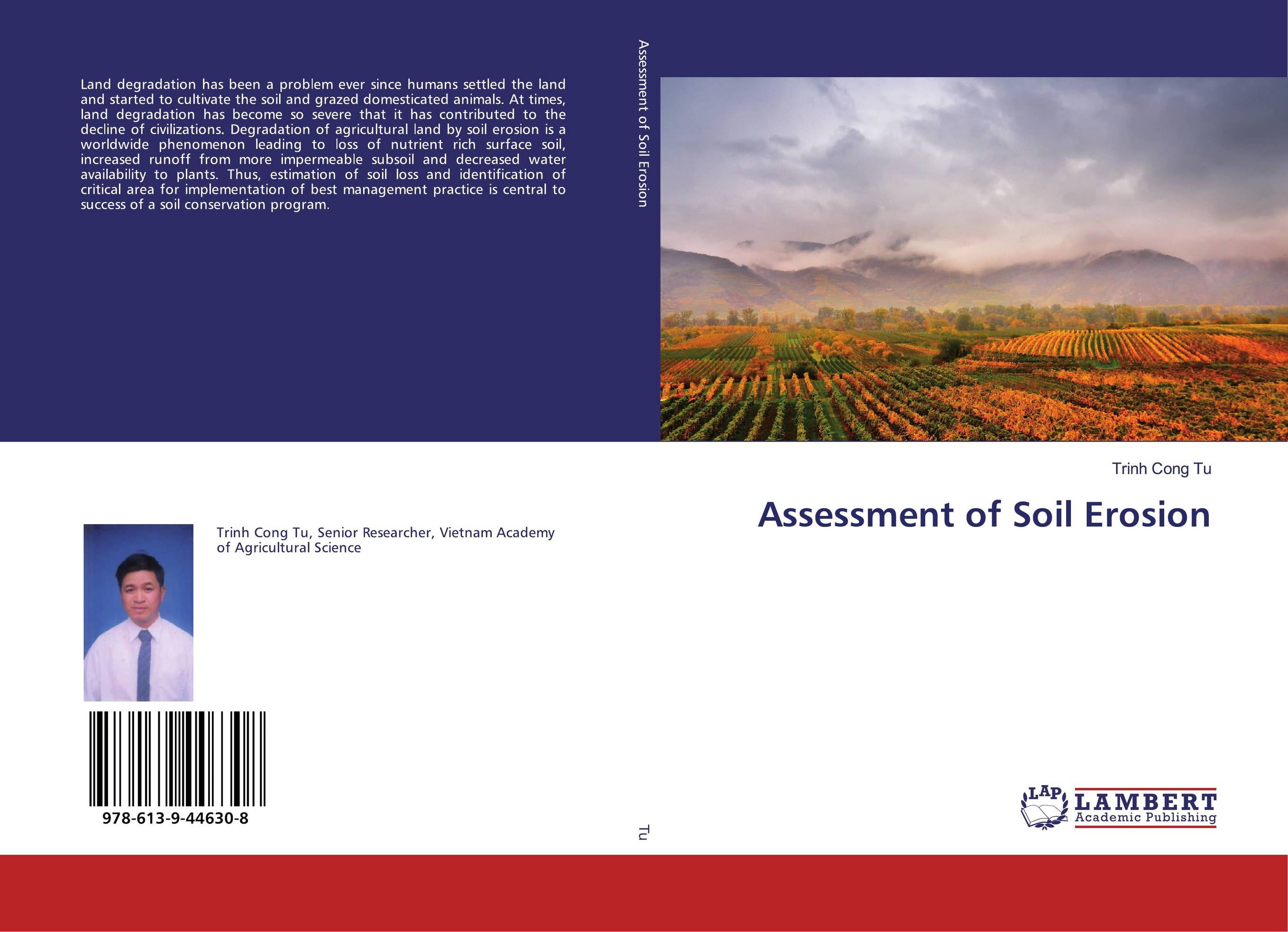
 | Отрасли экономики: Агропромышленный комплекс -> Растениеводство -> Садоводство Trinh Cong Tu Assessment of Soil Erosion. . 2019 г., 132 стр., мягкий переплет Land degradation has been a problem ever since humans settled the land and started to cultivate the soil and grazed domesticated animals. At times, land degradation has become so severe that it has contributed to the decline of civilizations. Degradation of agricultural land by soil erosion is a worldwide phenomenon leading to loss of nutrient... | 30606 тг |


