| Поиск по каталогу |
|
(строгое соответствие)
|
- Профессиональная
- Научно-популярная
- Художественная
- Публицистика
- Детская
- Искусство
- Хобби, семья, дом
- Спорт
- Путеводители
- Блокноты, тетради, открытки
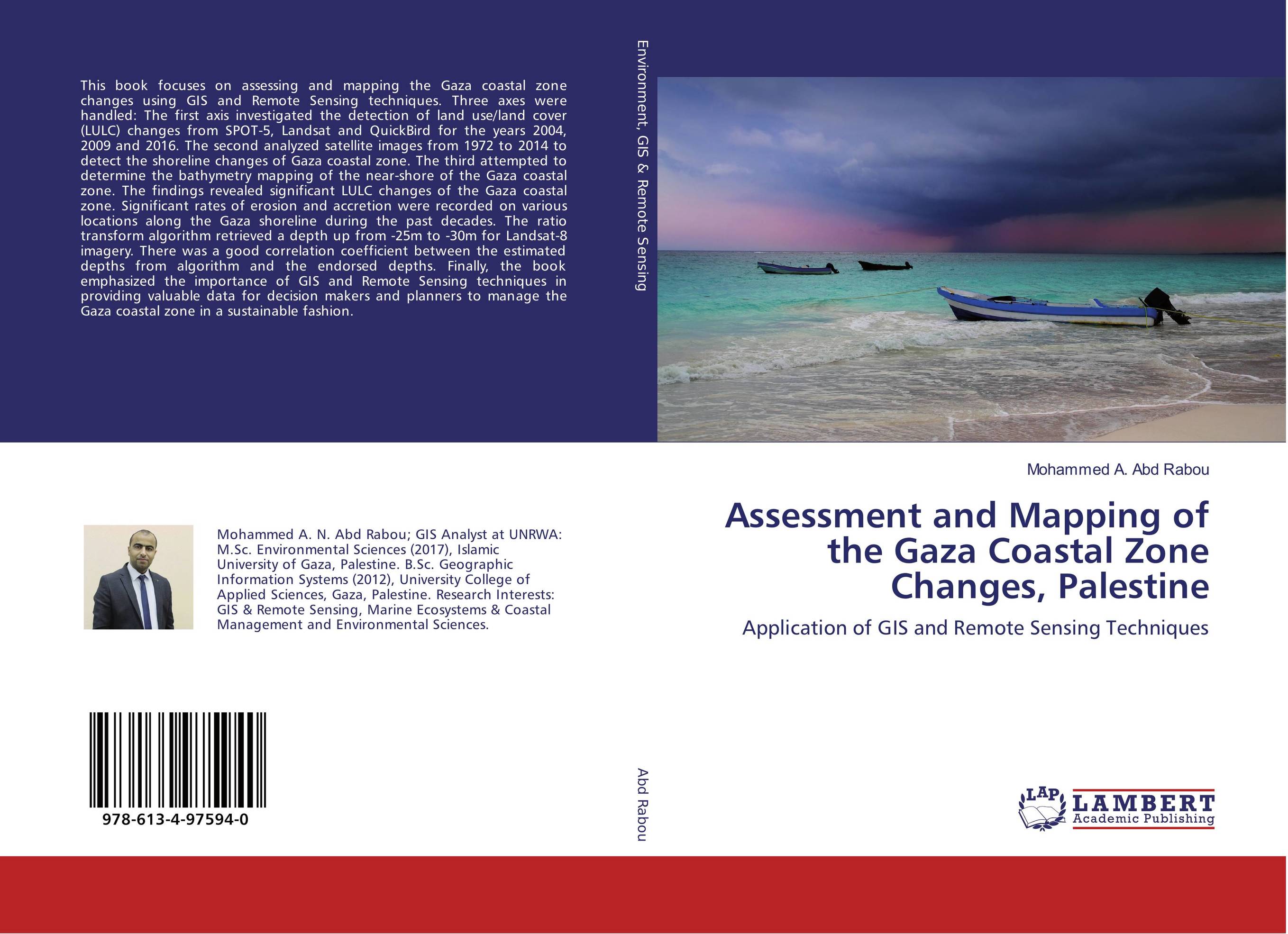
Assessment and Mapping of the Gaza Coastal Zone Changes, Palestine. Application of GIS and Remote Sensing Techniques

В наличии
| Местонахождение: Алматы | Состояние экземпляра: новый |

Бумажная
версия
версия
Автор: Mohammed A. Abd Rabou
ISBN: 9786134975940
Год издания: 2018
Формат книги: 60×90/16 (145×215 мм)
Количество страниц: 116
Издательство: LAP LAMBERT Academic Publishing
Цена: 32254 тг
Положить в корзину
| Способы доставки в город Алматы * комплектация (срок до отгрузки) не более 2 рабочих дней |
| Самовывоз из города Алматы (пункты самовывоза партнёра CDEK) |
| Курьерская доставка CDEK из города Москва |
| Доставка Почтой России из города Москва |
Аннотация: This book focuses on assessing and mapping the Gaza coastal zone changes using GIS and Remote Sensing techniques. Three axes were handled: The first axis investigated the detection of land use/land cover (LULC) changes from SPOT-5, Landsat and QuickBird for the years 2004, 2009 and 2016. The second analyzed satellite images from 1972 to 2014 to detect the shoreline changes of Gaza coastal zone. The third attempted to determine the bathymetry mapping of the near-shore of the Gaza coastal zone. The findings revealed significant LULC changes of the Gaza coastal zone. Significant rates of erosion and accretion were recorded on various locations along the Gaza shoreline during the past decades. The ratio transform algorithm retrieved a depth up from -25m to -30m for Landsat-8 imagery. There was a good correlation coefficient between the estimated depths from algorithm and the endorsed depths. Finally, the book emphasized the importance of GIS and Remote Sensing techniques in providing valuable data for decision makers and planners to manage the Gaza coastal zone in a sustainable fashion.
Ключевые слова: land use, Shoreline, GIS; Remote Sensing, Gaza; Coastal Zone, bathymetric


