| Поиск по каталогу |
|
(строгое соответствие)
|
- Профессиональная
- Научно-популярная
- Художественная
- Публицистика
- Детская
- Искусство
- Хобби, семья, дом
- Спорт
- Путеводители
- Блокноты, тетради, открытки
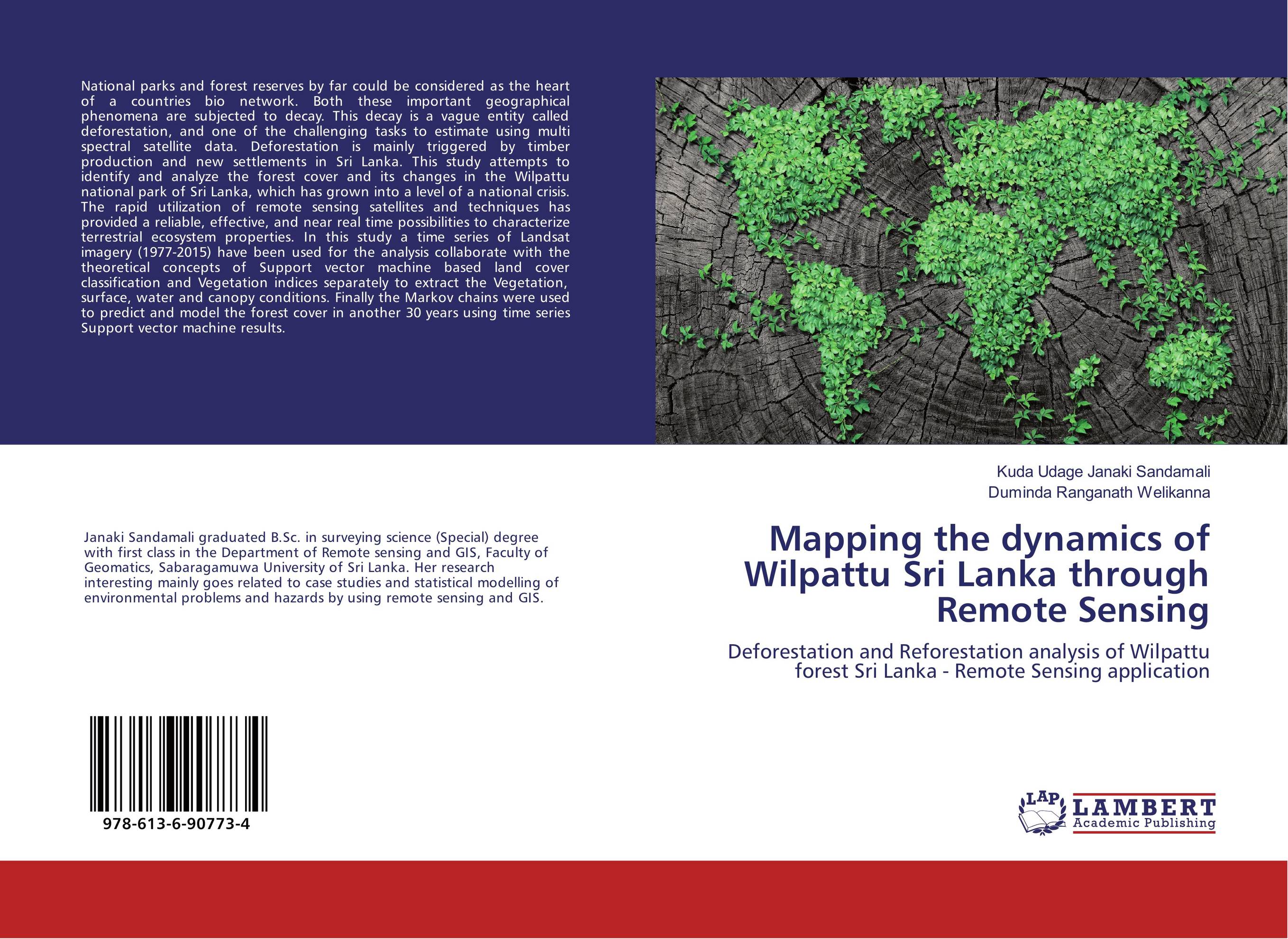
Mapping the dynamics of Wilpattu Sri Lanka through Remote Sensing. Deforestation and Reforestation analysis of Wilpattu forest Sri Lanka - Remote Sensing application

В наличии
| Местонахождение: Алматы | Состояние экземпляра: новый |

Бумажная
версия
версия
Автор: Kuda Udage Janaki Sandamali and Duminda Ranganath Welikanna
ISBN: 9786136907734
Год издания: 2018
Формат книги: 60×90/16 (145×215 мм)
Количество страниц: 92
Издательство: LAP LAMBERT Academic Publishing
Цена: 31402 тг
Положить в корзину
| Способы доставки в город Алматы * комплектация (срок до отгрузки) не более 2 рабочих дней |
| Самовывоз из города Алматы (пункты самовывоза партнёра CDEK) |
| Курьерская доставка CDEK из города Москва |
| Доставка Почтой России из города Москва |
Аннотация: National parks and forest reserves by far could be considered as the heart of a countries bio network. Both these important geographical phenomena are subjected to decay. This decay is a vague entity called deforestation, and one of the challenging tasks to estimate using multi spectral satellite data. Deforestation is mainly triggered by timber production and new settlements in Sri Lanka. This study attempts to identify and analyze the forest cover and its changes in the Wilpattu national park of Sri Lanka, which has grown into a level of a national crisis. The rapid utilization of remote sensing satellites and techniques has provided a reliable, effective, and near real time possibilities to characterize terrestrial ecosystem properties. In this study a time series of Landsat imagery (1977-2015) have been used for the analysis collaborate with the theoretical concepts of Support vector machine based land cover classification and Vegetation indices separately to extract the Vegetation, surface, water and canopy conditions. Finally the Markov chains were used to predict and model the forest cover in another 30 years using time series Support vector machine results.
Ключевые слова: Markov Chain, NDVI, NDWI, RS, SVM, GNDVI, deforestation, Forest Cover, supervised classification, Support Vector Machine, vegetation index, Wilpattu


