| Поиск по каталогу |
|
(строгое соответствие)
|
- Профессиональная
- Научно-популярная
- Художественная
- Публицистика
- Детская
- Искусство
- Хобби, семья, дом
- Спорт
- Путеводители
- Блокноты, тетради, открытки
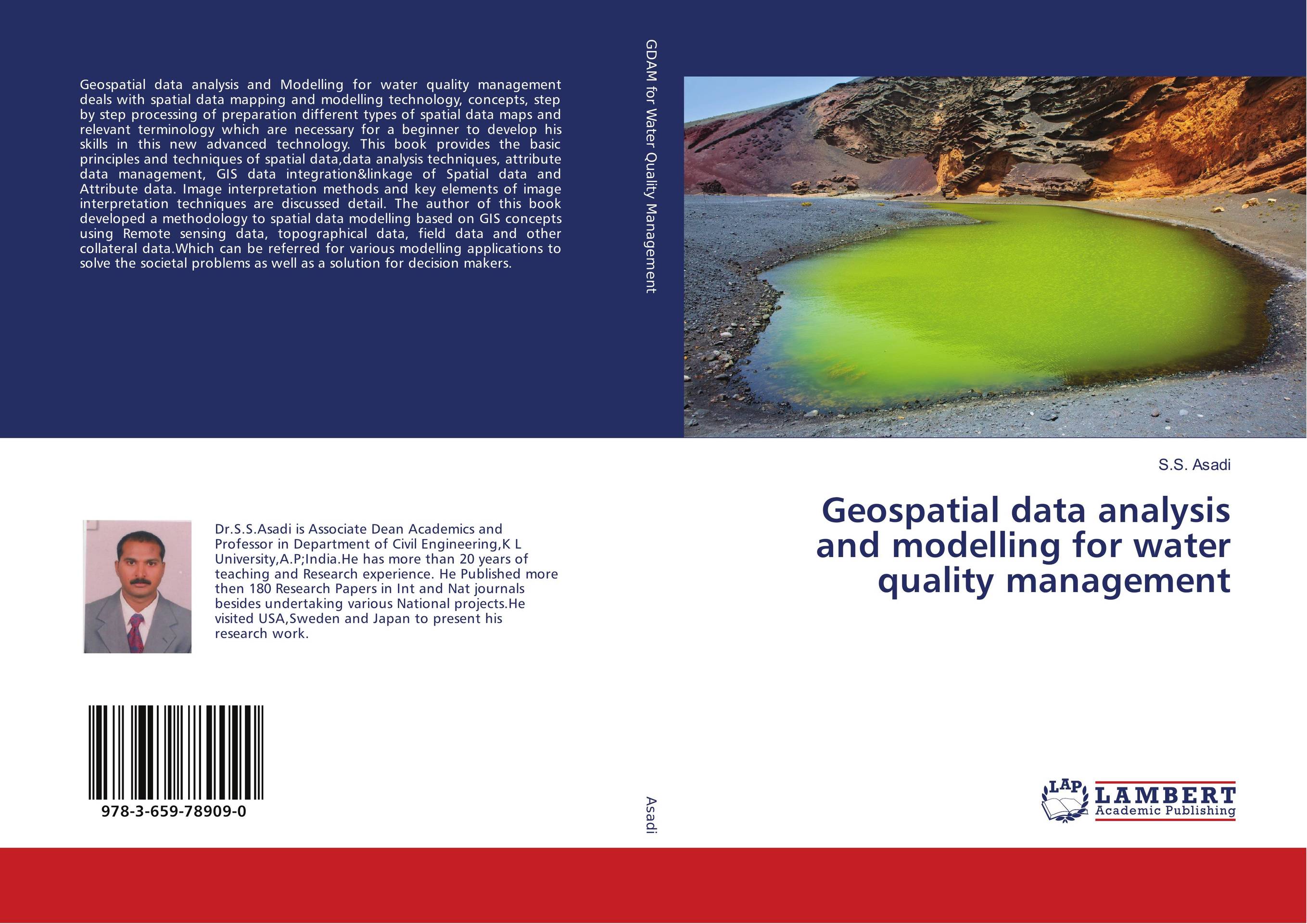
Geospatial data analysis and modelling for water quality management.

В наличии
| Местонахождение: Алматы | Состояние экземпляра: новый |

Бумажная
версия
версия
Автор: S.S. Asadi
ISBN: 9783659789090
Год издания: 2018
Формат книги: 60×90/16 (145×215 мм)
Количество страниц: 252
Издательство: LAP LAMBERT Academic Publishing
Цена: 34971 тг
Положить в корзину
| Способы доставки в город Алматы * комплектация (срок до отгрузки) не более 2 рабочих дней |
| Самовывоз из города Алматы (пункты самовывоза партнёра CDEK) |
| Курьерская доставка CDEK из города Москва |
| Доставка Почтой России из города Москва |
Аннотация: Geospatial data analysis and Modelling for water quality management deals with spatial data mapping and modelling technology, concepts, step by step processing of preparation different types of spatial data maps and relevant terminology which are necessary for a beginner to develop his skills in this new advanced technology. This book provides the basic principles and techniques of spatial data,data analysis techniques, attribute data management, GIS data integration&linkage of Spatial data and Attribute data. Image interpretation methods and key elements of image interpretation techniques are discussed detail. The author of this book developed a methodology to spatial data modelling based on GIS concepts using Remote sensing data, topographical data, field data and other collateral data.Which can be referred for various modelling applications to solve the societal problems as well as a solution for decision makers.
Ключевые слова: Remotesensing and GIS, Spatial data Analysis, Water quality modelling, Thematic mapping


