


| Поиск по каталогу |
|
(строгое соответствие)
|
- Профессиональная
- Научно-популярная
- Художественная
- Публицистика
- Детская
- Искусство
- Хобби, семья, дом
- Спорт
- Путеводители
- Блокноты, тетради, открытки
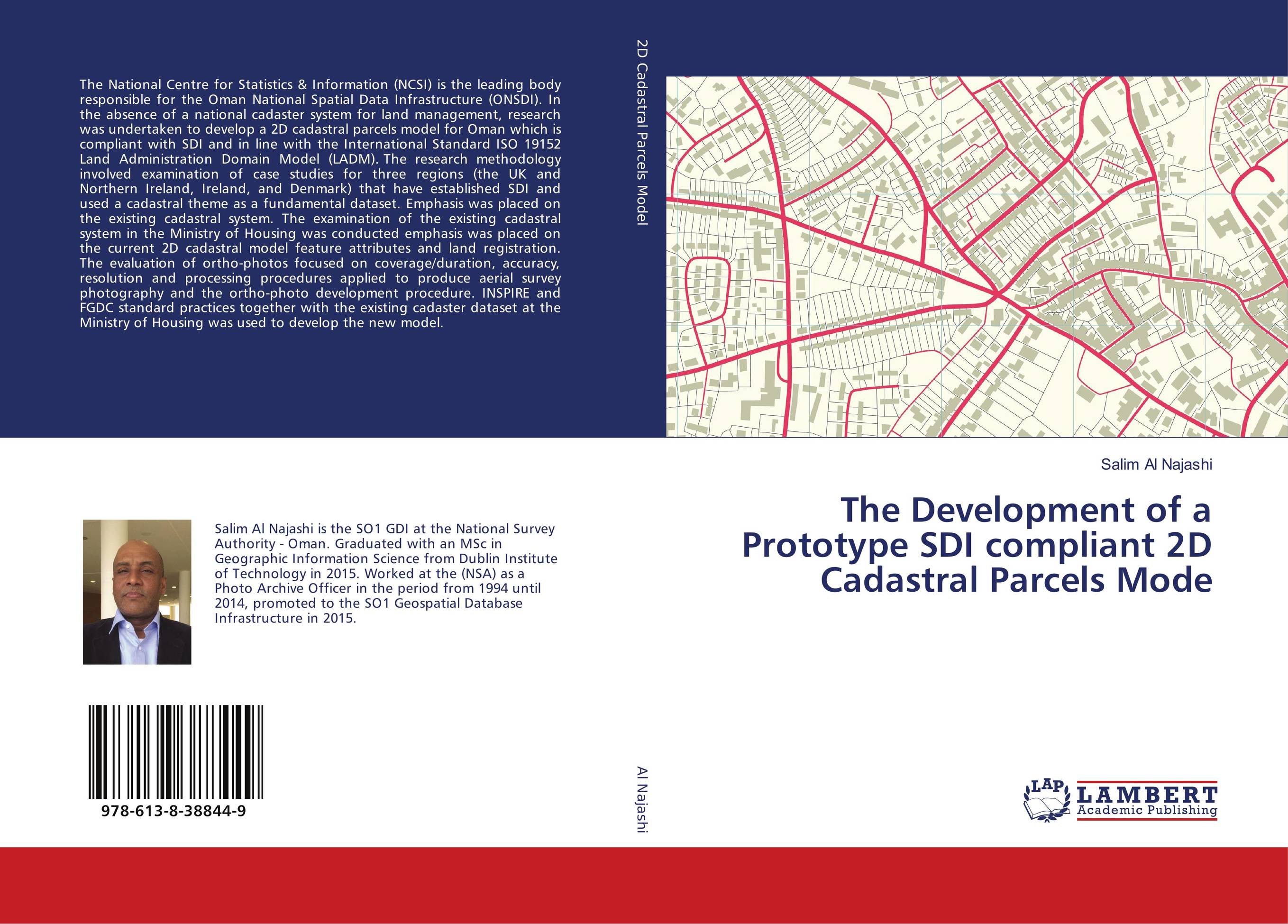
The Development of a Prototype SDI compliant 2D Cadastral Parcels Mode.
В наличии
| Местонахождение: Алматы | Состояние экземпляра: новый |

Бумажная
версия
версия
Автор: Salim Al Najashi
ISBN: 9786138388449
Год издания: 2018
Формат книги: 60×90/16 (145×215 мм)
Количество страниц: 180
Издательство: LAP LAMBERT Academic Publishing
Цена: 39571 тг
Положить в корзину
Позиции в рубрикаторе
Сферы деятельности:Код товара: 204612
| Способы доставки в город Алматы * комплектация (срок до отгрузки) не более 2 рабочих дней |
| Самовывоз из города Алматы (пункты самовывоза партнёра CDEK) |
| Курьерская доставка CDEK из города Москва |
| Доставка Почтой России из города Москва |
Аннотация: The National Centre for Statistics & Information (NCSI) is the leading body responsible for the Oman National Spatial Data Infrastructure (ONSDI). In the absence of a national cadaster system for land management, research was undertaken to develop a 2D cadastral parcels model for Oman which is compliant with SDI and in line with the International Standard ISO 19152 Land Administration Domain Model (LADM). The research methodology involved examination of case studies for three regions (the UK and Northern Ireland, Ireland, and Denmark) that have established SDI and used a cadastral theme as a fundamental dataset. Emphasis was placed on the existing cadastral system. The examination of the existing cadastral system in the Ministry of Housing was conducted emphasis was placed on the current 2D cadastral model feature attributes and land registration. The evaluation of ortho-photos focused on coverage/duration, accuracy, resolution and processing procedures applied to produce aerial survey photography and the ortho-photo development procedure. INSPIRE and FGDC standard practices together with the existing cadaster dataset at the Ministry of Housing was used to develop the new model.
Ключевые слова: geo-spatial