| Поиск по каталогу |
|
(строгое соответствие)
|
- Профессиональная
- Научно-популярная
- Художественная
- Публицистика
- Детская
- Искусство
- Хобби, семья, дом
- Спорт
- Путеводители
- Блокноты, тетради, открытки
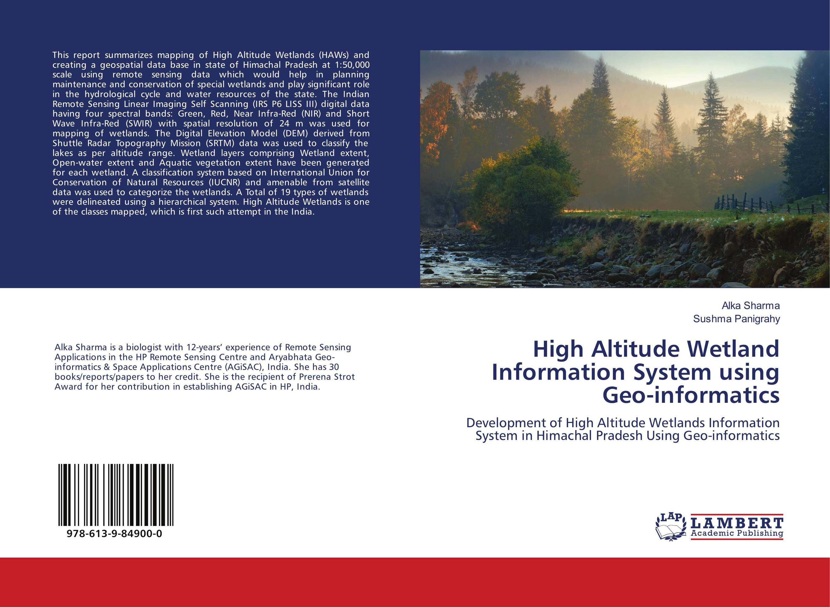
High Altitude Wetland Information System using Geo-informatics. Development of High Altitude Wetlands Information System in Himachal Pradesh Using Geo-informatics

В наличии
| Местонахождение: Алматы | Состояние экземпляра: новый |

Бумажная
версия
версия
Автор: Alka Sharma and Sushma Panigrahy
ISBN: 9786139849000
Год издания: 2018
Формат книги: 60×90/16 (145×215 мм)
Количество страниц: 60
Издательство: LAP LAMBERT Academic Publishing
Цена: 22868 тг
Положить в корзину
| Способы доставки в город Алматы * комплектация (срок до отгрузки) не более 2 рабочих дней |
| Самовывоз из города Алматы (пункты самовывоза партнёра CDEK) |
| Курьерская доставка CDEK из города Москва |
| Доставка Почтой России из города Москва |
Аннотация: This report summarizes mapping of High Altitude Wetlands (HAWs) and creating a geospatial data base in state of Himachal Pradesh at 1:50,000 scale using remote sensing data which would help in planning maintenance and conservation of special wetlands and play significant role in the hydrological cycle and water resources of the state. The Indian Remote Sensing Linear Imaging Self Scanning (IRS P6 LISS III) digital data having four spectral bands: Green, Red, Near Infra-Red (NIR) and Short Wave Infra-Red (SWIR) with spatial resolution of 24 m was used for mapping of wetlands. The Digital Elevation Model (DEM) derived from Shuttle Radar Topography Mission (SRTM) data was used to classify the lakes as per altitude range. Wetland layers comprising Wetland extent, Open-water extent and Aquatic vegetation extent have been generated for each wetland. A classification system based on International Union for Conservation of Natural Resources (IUCNR) and amenable from satellite data was used to categorize the wetlands. A Total of 19 types of wetlands were delineated using a hierarchical system. High Altitude Wetlands is one of the classes mapped, which is first such attempt in the India.
Ключевые слова: Digital elevation model, Himachal Pradesh, Wetlands, High Altitude Wetlands, Indian Remote Sensing, IRS P6 Satellite, LISS 3
Похожие издания
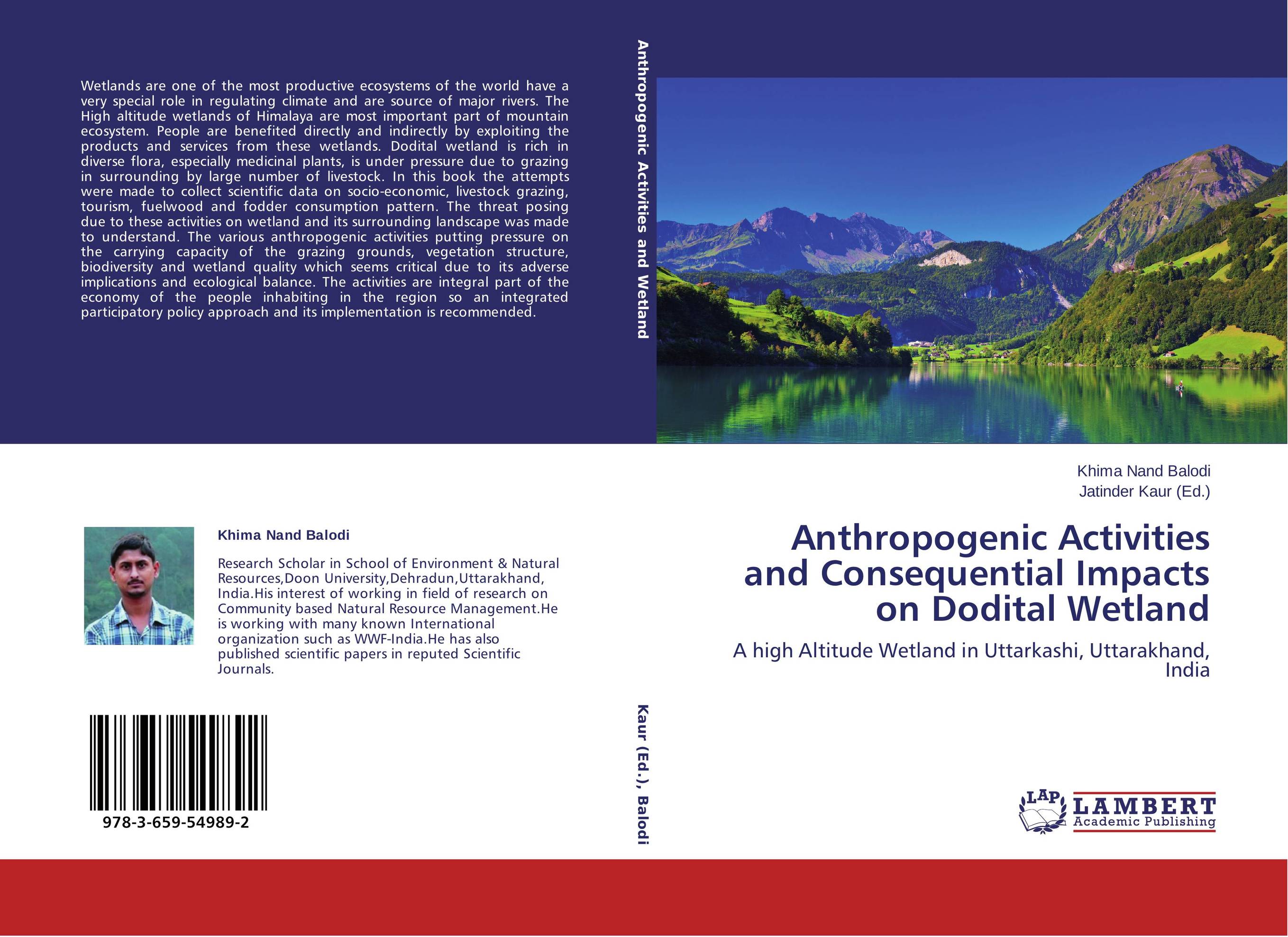
 | Отрасли знаний: Естественные науки -> Экология Khima Nand Balodi and Jatinder Kaur Anthropogenic Activities and Consequential Impacts on Dodital Wetland. A high Altitude Wetland in Uttarkashi, Uttarakhand, India. 2014 г., 100 стр., мягкий переплет Wetlands are one of the most productive ecosystems of the world have a very special role in regulating climate and are source of major rivers. The High altitude wetlands of Himalaya are most important part of mountain ecosystem. People are benefited directly and indirectly by exploiting the products and services from these wetlands. Dodital... | 34328 тг |


