| Поиск по каталогу |
|
(строгое соответствие)
|
- Профессиональная
- Научно-популярная
- Художественная
- Публицистика
- Детская
- Искусство
- Хобби, семья, дом
- Спорт
- Путеводители
- Блокноты, тетради, открытки
Mapping and Planning the open green spaces for Dublin city borders.

В наличии
| Местонахождение: Алматы | Состояние экземпляра: новый |

Бумажная
версия
версия
Автор: Anurag Saha
ISBN: 9786139981076
Год издания: 2019
Формат книги: 60×90/16 (145×215 мм)
Количество страниц: 68
Издательство: LAP LAMBERT Academic Publishing
Цена: 23493 тг
Положить в корзину
| Способы доставки в город Алматы * комплектация (срок до отгрузки) не более 2 рабочих дней |
| Самовывоз из города Алматы (пункты самовывоза партнёра CDEK) |
| Курьерская доставка CDEK из города Москва |
| Доставка Почтой России из города Москва |
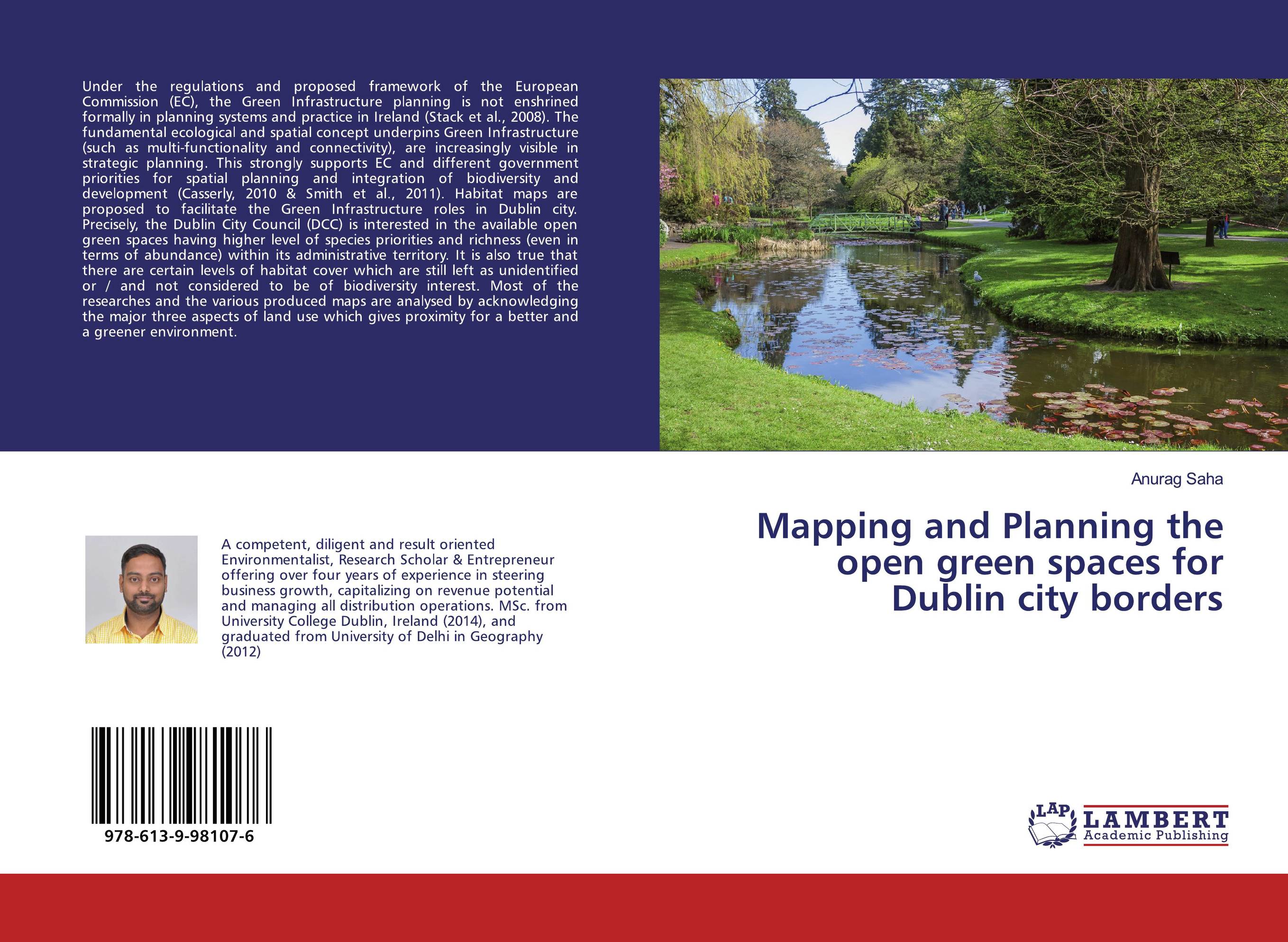
Аннотация: Under the regulations and proposed framework of the European Commission (EC), the Green Infrastructure planning is not enshrined formally in planning systems and practice in Ireland (Stack et al., 2008). The fundamental ecological and spatial concept underpins Green Infrastructure (such as multi-functionality and connectivity), are increasingly visible in strategic planning. This strongly supports EC and different government priorities for spatial planning and integration of biodiversity and development (Casserly, 2010 & Smith et al., 2011). Habitat maps are proposed to facilitate the Green Infrastructure roles in Dublin city. Precisely, the Dublin City Council (DCC) is interested in the available open green spaces having higher level of species priorities and richness (even in terms of abundance) within its administrative territory. It is also true that there are certain levels of habitat cover which are still left as unidentified or / and not considered to be of biodiversity interest. Most of the researches and the various produced maps are analysed by acknowledging the major three aspects of land use which gives proximity for a better and a greener environment.
Ключевые слова: Green Infrastructure, open spaces, Natural Development, Social Intrusion, Planning and Mapping, Socio-economic interaction


